-
2005 The Regents of the University of California
CalPhotos
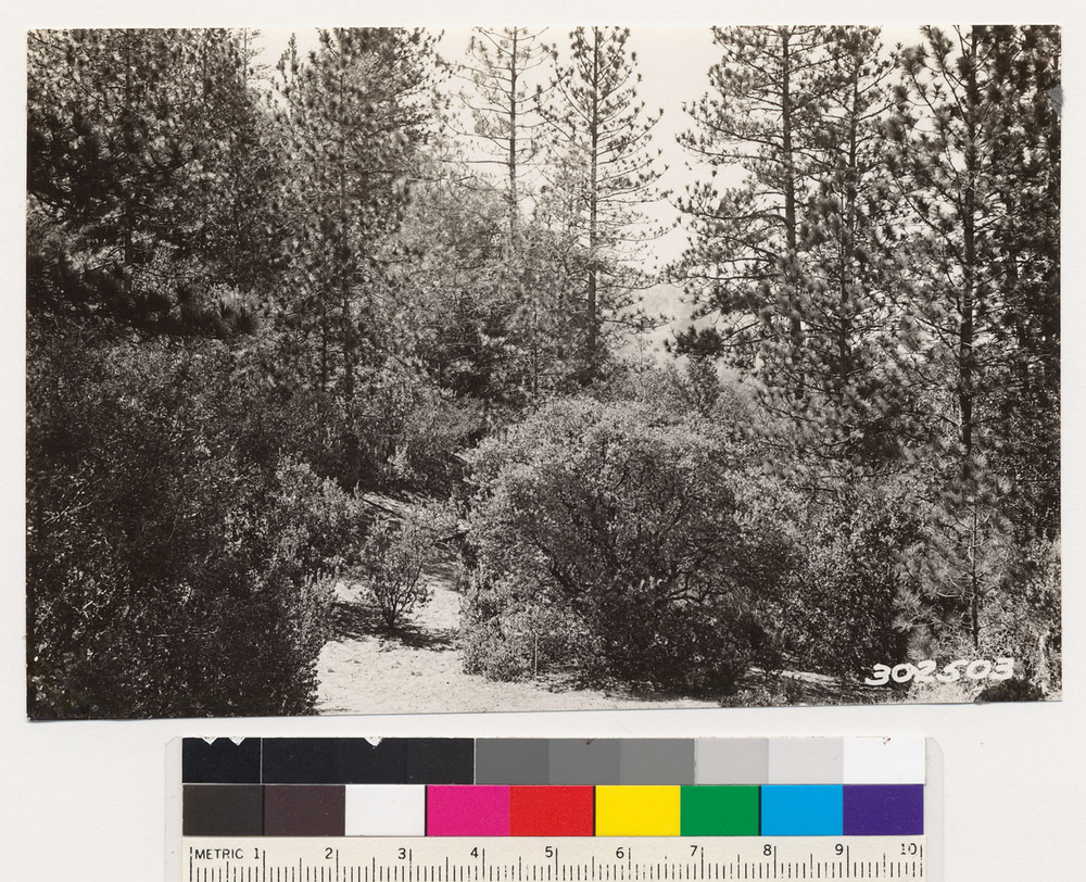
Near Bullards Bar Road. Association of Ponderosa pine and Madrone. Ground cover of Chamaebatia foliolosa., T 18 N R 8 E Sec 30 Quad name: Smartsville. Quad number: 50. Reference to map: 57.
-
2005 The Regents of the University of California
CalPhotos
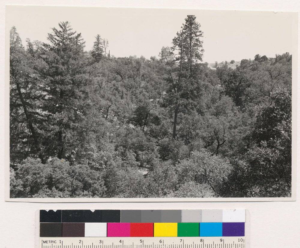
Located one-fourth mile north of Old Woman's Canyon. Hardwood-grass-conifer ( conifer density open) 213 for hardwood. Garry oak, Pseudotsugamenziesii var.glauca (=Pseudotsuga taxifolia), Pinus ponderosa. Associated species: Quercus kelloggii, Pinus sabiniana, Arbutus menziesii, Quercus chrysolepis. Mendocino County., T 19 N R 12 W Sec 5 Quad name: Eden Valley. Quad number: 43D.
-
2005 The Regents of the University of California
CalPhotos
Located one -half mile south of Old Woman's Creek. Dense trees. Hardwood conifer. Quercus kelloggii, Quercus chrysolepis, Pseudotsugamenziesii var.glauca (=Pseudotsuga taxifolia). Associated species : Arbutus menziesii. Mendocino County., T 19 N R 12 W Sec 5 Quad name: Eden Valley. Quad number: 43D.
-
2005 The Regents of the University of California
CalPhotos
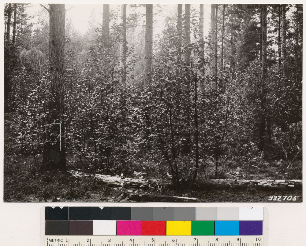
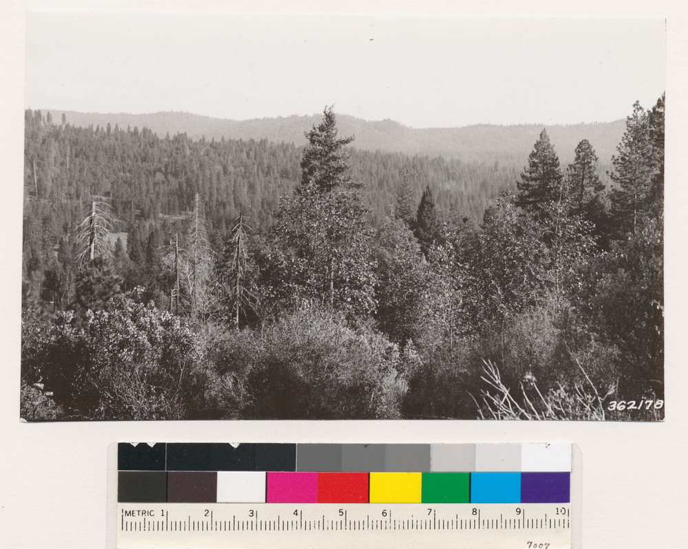
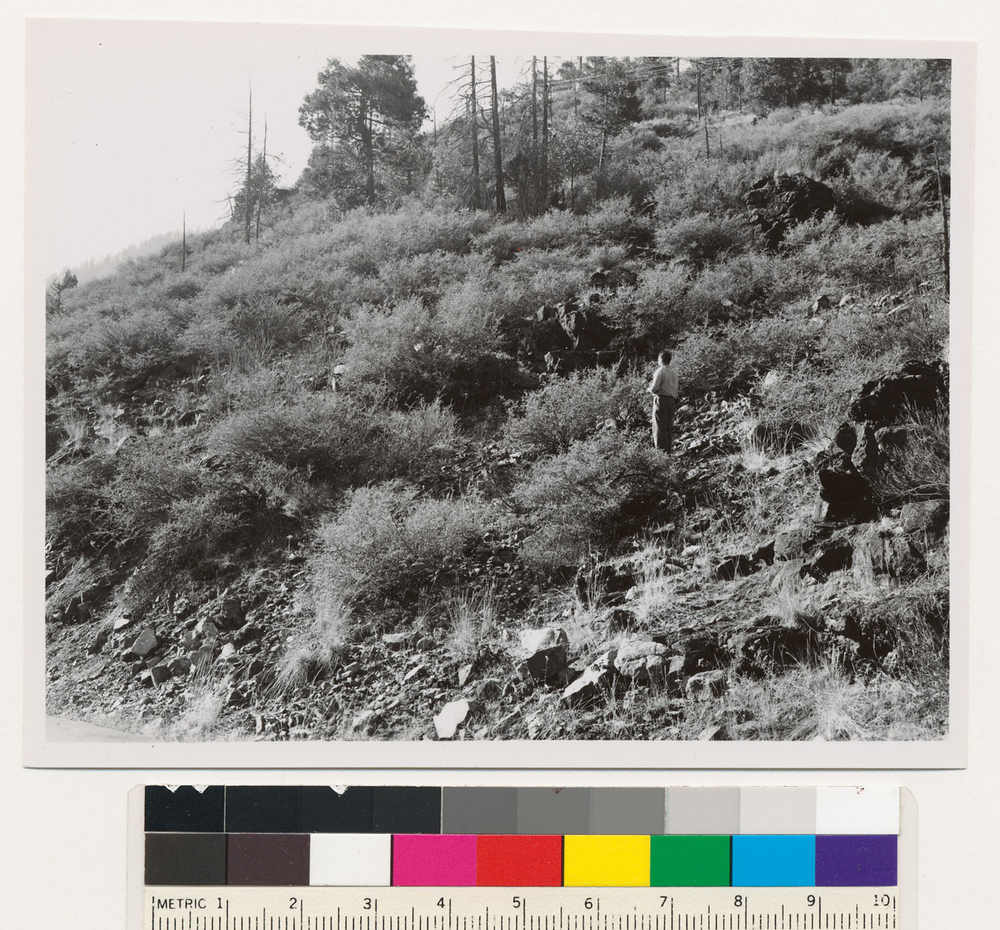
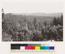
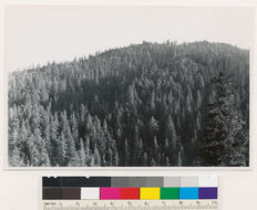
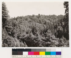
From open hill just north of Brownsville. Looking north and east showing second growth stand of ponderosa pine. Fir type in foreground: black oak, madrone, tanoak, Ceanothus integerrimus, Chamaebatia foliolosa, Arctostaphylos viscida. Yuba Co., T 19 N R 6 E Sec 27 Quad name: Smartsville. Quad number: 50. Reference to map: 81.
-
2005 The Regents of the University of California
CalPhotos
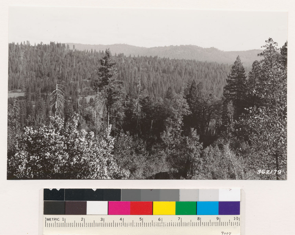
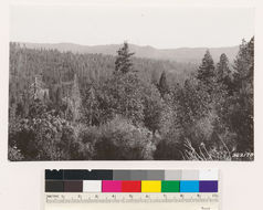
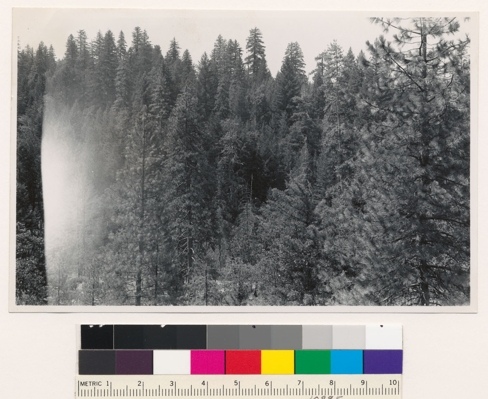
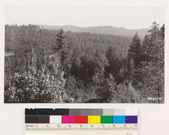
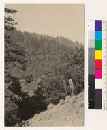
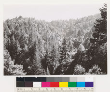
North slope of Church Creek. Ponderosa pine type with tanbark oak, madrone, and black oak. Foreground yucca, canyon live oak, wyp, brush species., T 19 S R 3 E Sec 11 Quad name: Jamesburg. Quad number: 106A.
-
2005 The Regents of the University of California
CalPhotos
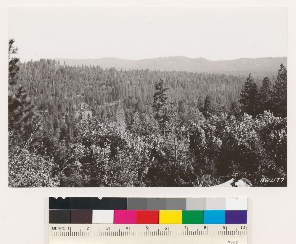
Bordering Hottenshaw Valley. 213 stand of Douglas fir- ponderosa pine. Black oak and madrone also present. Trinity County., T 2 S R 7 E Sec 20 Quad name: Hoaglin. Quad number: 30. Reference to map: 5.
-
2005 The Regents of the University of California
CalPhotos
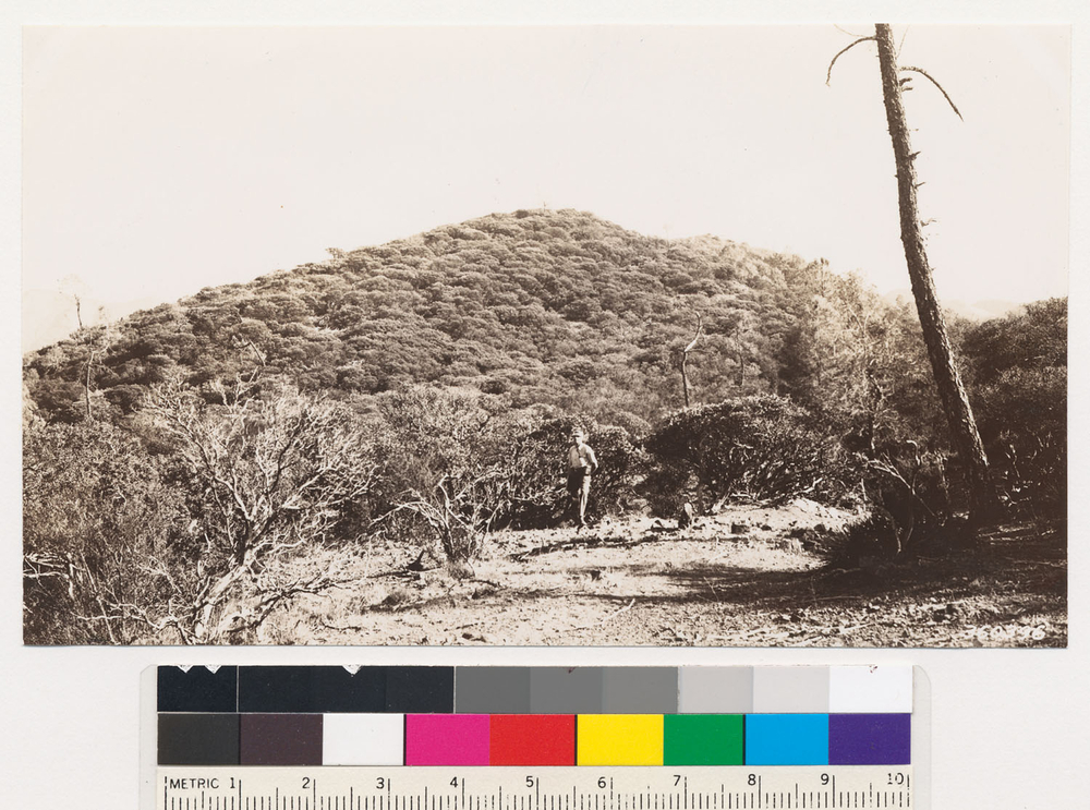
About one mile southwest of Chalk Peak. North slope near top of ridge. Shows (Arctostaphylos luciaensis?) in association with Pinus ponderosa. Ceanothus oliganthusvar.sorediatus (=Ceanothus sorediatus), Madrone, and Quercus chrysolepis all occur in formation. Height of shrub in foreground 15 ft. (See 3 ft. rule), T 22 S R 5 E Sec 32 Quad name: Cape San Martin. Quad number: 131B. Reference to map: 33.
-
2005 The Regents of the University of California
CalPhotos
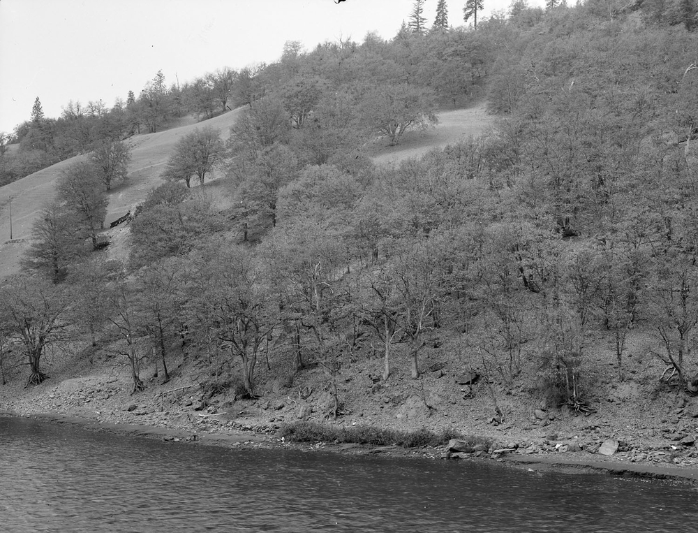
Looking across S. Fork Eel River from Redwood Highway 2 miles south of Dann Creek. Dense conifer timber stand of Douglas fir and redwood. Assoc. spp.: Notholithocarpus densiflorus (=Notholithocarpus densiflorus (=Lithocarpus densiflora)), Arbutus menziesii. Mendocino County., T 23 N R 16 W Sec 19 Quad name: Spy Rock. Quad number: 43B.
-
2005 The Regents of the University of California
CalPhotos
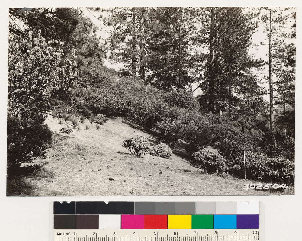
Near coast ridge trail two miles south of Chalk Paek. Top of ridge elevation 3300 feet. Shows Arctostaphylos luciaensis? In association with Pinus ponderosa. Occasional interior live oak, madrone and valley oak in vicinity. Note 3 ft. rule, T 23 S R 5 E Sec 4, Elevation 3300 Quad name: Cape San Martin. Quad number: 131B. Reference to map: 34.
-
2005 The Regents of the University of California
CalPhotos
(same locality as #302504) Shows Arctostaphylos luciaensis? In association with Pinus ponderosa. This species here attains height of 18ft. Madrone, Interior live oak, Valley oak and Coulter pine of occasional occurrence in this formation., T 23 S R 5 E Sec 4 Quad name: Cape San Martin. Quad number: 131B. Reference to map: 34.
-
2005 The Regents of the University of California
CalPhotos
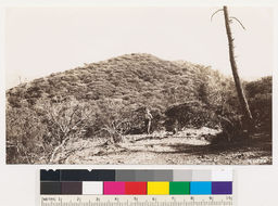
One mile NW of Burnett Peak. Shows pure stand of Aw (Arctostaphylos sp.) on serpentine formation. Occasional Quercus durata, Pinus sabiniana, Ceanothus papillosus and Heteromelesarbutifolia (=Photinia arbutifolia). (Arctostaphylos =A. obispoensis), T 25 S R 7 E Sec 12 Quad name: Bryson. Quad number: 131A. Reference to map: 2.
-
2005 The Regents of the University of California
CalPhotos
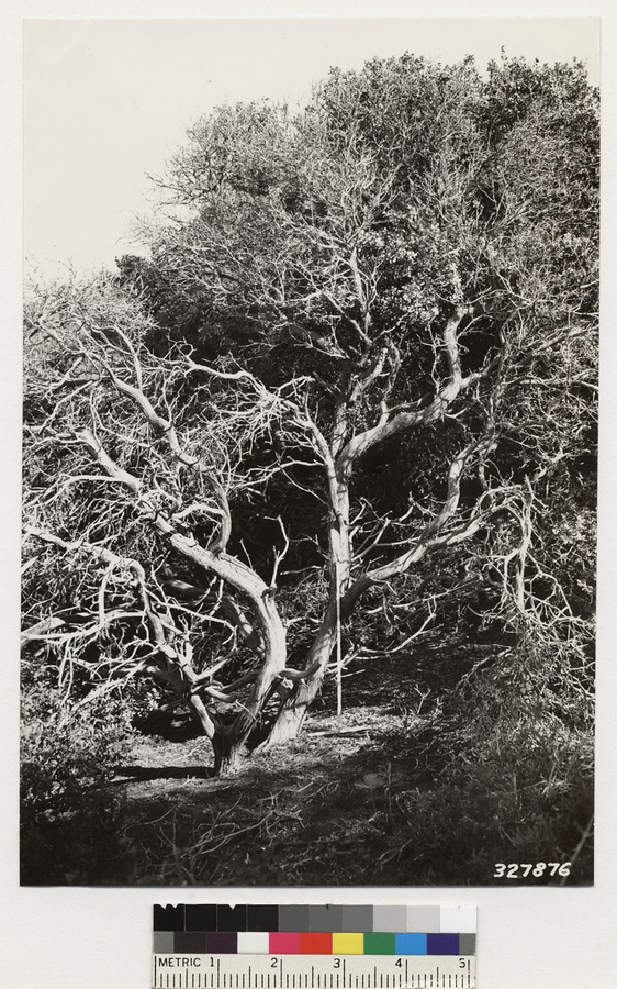
Northwest slope of Hazard Creek. Shows maximum height development of Arctostaphylos morroensis. Assoc. species: Quercus agrifolia, Salvia mellifera, Ceanothus cuneatus., T 30 S R 11 E Quad name: Cayucos. Quad number: 132B. Reference to map: 1.
-
2005 The Regents of the University of California
CalPhotos
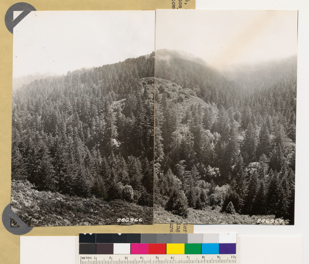
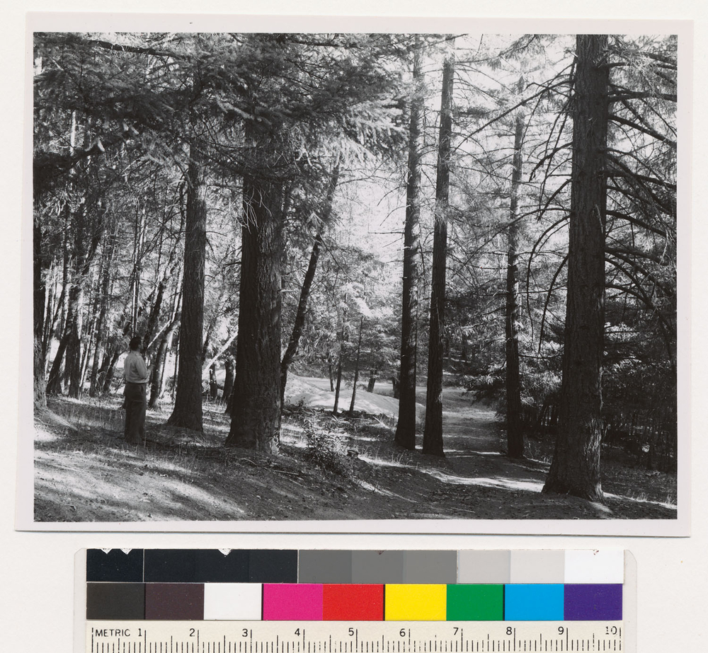
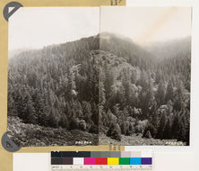
Cahill Ridge. Panorama looking southwest and south toward Ox Hill. Shows Douglas fir and coast live oak- California laurel-madrone woodland., T 4 S R 5 W Sec 33 Quad name: San Mateo. Quad number: 82C. Reference to map: 2.
-
2005 The Regents of the University of California
CalPhotos
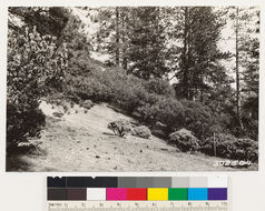
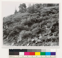
On hwy. 1.25 miles from Seiad Valley Guard station. Noncommercial area with chaparral. Steep rocky south slope with rocks of serpentine nature. Soil reddish brown, some grass in soil pockets. Chaparral: Ceanothus cuneatus. Assoc. species: Some stunted incense cedars and occasional madrone existing in soil pockets in background of picture., T 46 N R 12 W Sec 10 Quad name: Seiad Valley. Quad number: 7.
-
2005 The Regents of the University of California
CalPhotos
Across Klamath River about 6 miles east of Horse Creek P.O. Garry oak type of large oak (12" + over) making over 75% of the stand. Rocky soil, openings heavily grazed leaving the soil almost barren. Note occasional Ponderosa pine tree in background ridge. Occasional madrones in the stand., T 46 N R 9 W Sec 8 Quad name: Ft. Jones. Quad number: 6.
-
2005 The Regents of the University of California
CalPhotos
On highway 5 miles NW of Seiad Valley. Young growth stand of Douglas fir type. Trees generally over 20" DBH. Site 175. This is true of much of the Douglas fir stands along this road. Assoc. sp.: Madrone and Black oak. Some young 5" to 12" in rt. and left background., T 47 N R 12 W Sec 31 Quad name: Seiad Valley. Quad number: 7.
-
2005 The Regents of the University of California
CalPhotos
On highway 5 miles NW of Seiad Valley. Young growth stand of Douglas fir type. Trees generally over 20 " DBH. Site 175. This is true of much of the Douglas fir stands along this road. Assoc. sp.: madrone and Black oak. Some young 5" to 12" in rt. and left background., T 47 N R 12 W Sec 31 Quad name: Seiad Valley. Quad number: 7.
-
2005 The Regents of the University of California
CalPhotos
Willow Creek road. Dense tree stands. First slope is young-growth of Douglas fir, tanoak and madrone. Distant slope (across Redwood Creek) is mostly young growth Douglas fir. Garry oak in foreground. Humboldt County., T 6 N R 3 E Sec 11 Quad name: China Flat. Quad number: 26.
-
2005 The Regents of the University of California
CalPhotos
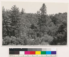
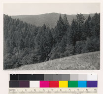
Looking south from point on Skyline Boulevard 1.1 miles north of La Honda junction. Young growth stands of redwood, Douglas fir, tanbark oak and madrone at head of La Honda Creek, T 6 S R 4 W Sec 26 Quad name: Santa Cruz. Quad number: 84. Reference to map: 152.
-
2005 The Regents of the University of California
CalPhotos
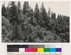
Looking southwest from point on Skyline Boulevard 1.1 miles north of La Honda junction. Young growth stands of redwood, Douglas fir, tanbark oak and madrone at head of La Honda Creek., T 6 S R 4 W Sec 26 Quad name: Santa Cruz. Quad number: 84. Reference to map: 153.
-
2005 The Regents of the University of California
CalPhotos
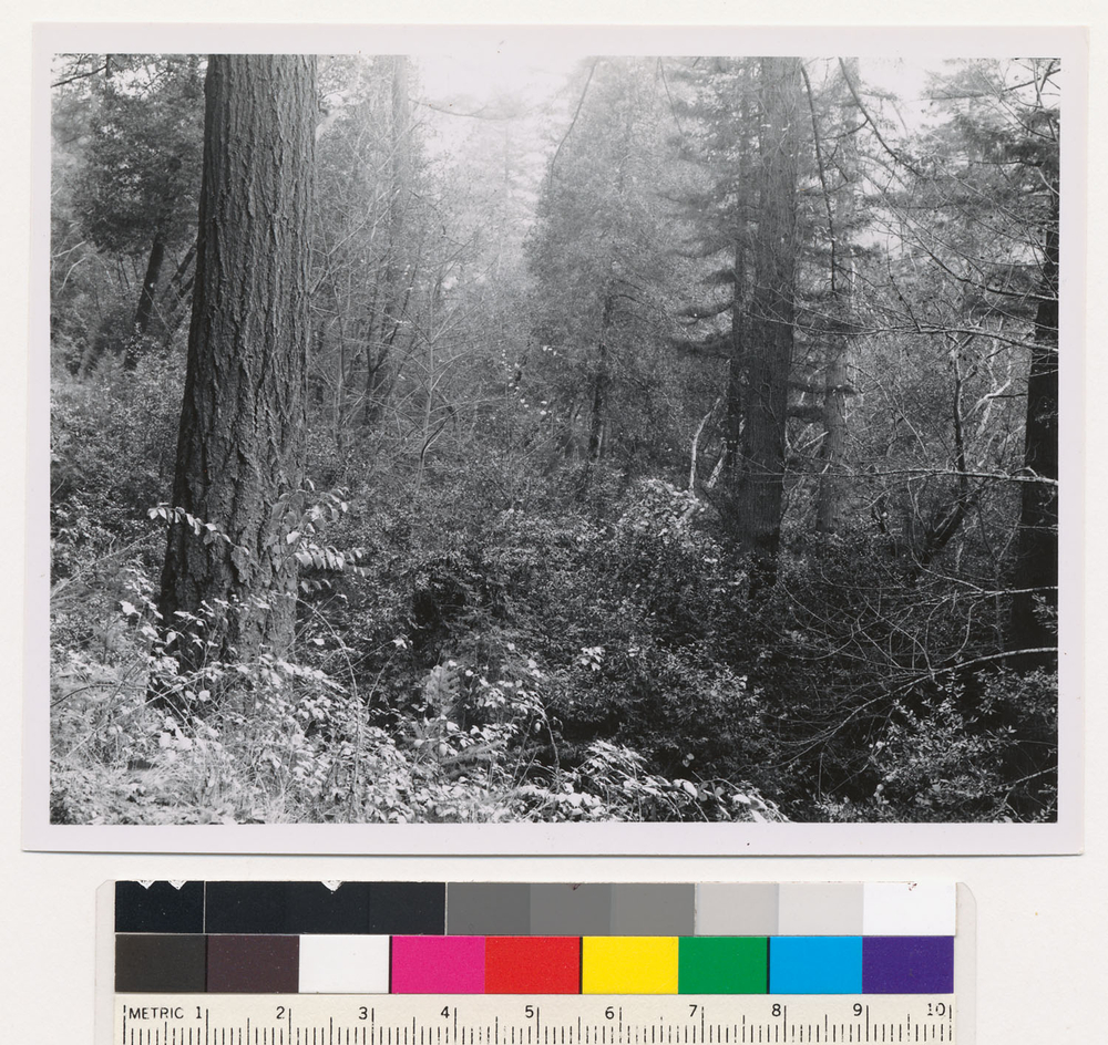
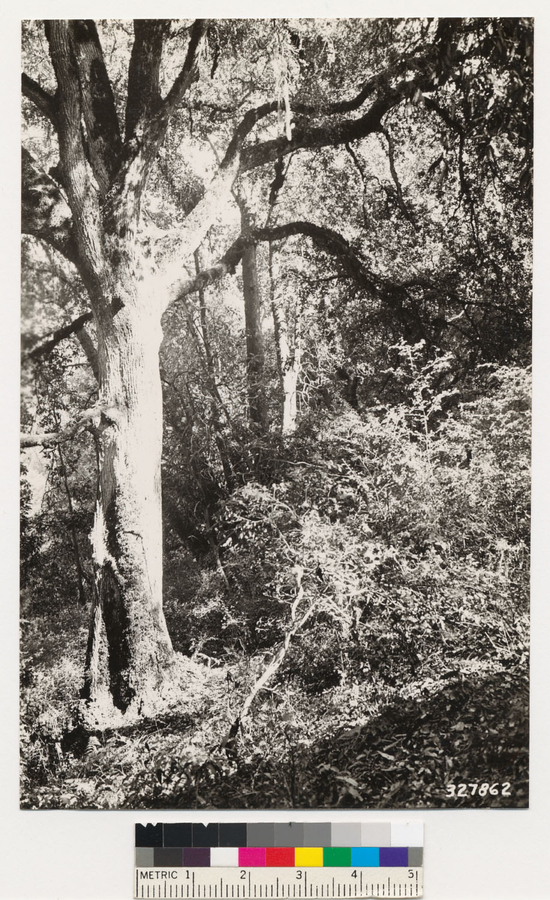
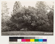
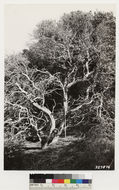
Skyline Blvd. 2.5 miles east of Langley Hill. Dense woodland type showing mature canyon oak in foreground. 55' tall Arbutus menziesii and canyon oak with understory of Holodiscus discolor make up the background. Litter depth approximately 4'. Assoc. species " trees- Arbutus menziesii, Quercus agrifolia, Umbellularia californica; understory -small canyon oak and Quercus wislizeni, 6', Holodiscus discolor, 6', Toxicodendrondiversilobum (=Rhus diversiloba), 3', woodfern 1'., T 7 S R 3 W Sec 16 Quad name: Santa Cruz. Quad number: 84. Reference to map: 133.
-
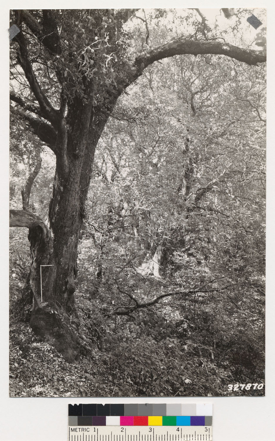
2005 The Regents of the University of California
CalPhotos
Skyline blvd. 2.5 miles east of Langley Hill. Dense woodland type with mature Arbutus menziesii in the foreground. Arbutus menziesii,, Tsuga heterophylla and Quercus agrifolia in background with understory of Croton californicus, Rubus parviflorus, and Rubus vitifolius. Some Holodiscus discolor, Ribes sanguineum, and woodfern present. Litter depth approximately 4". Trees approximately 55' tall. Assoc species are woodland: Quercus agrifolia, Umbellularia californica, Arbutus menziesii: Understory- Holodiscus discolor, 6 ft., Rubus parviflorus 3', Croton californicus 8', Rubus vitifolius 1', Toxicodendrondiversilobum (=Rhus diversiloba) 3', woodfern 1', T 7 S R 3 W Sec 16 Quad name: Santa Cruz. Quad number: 84. Reference to map: 133.