-
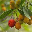
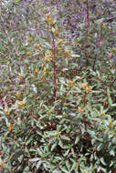
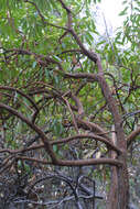
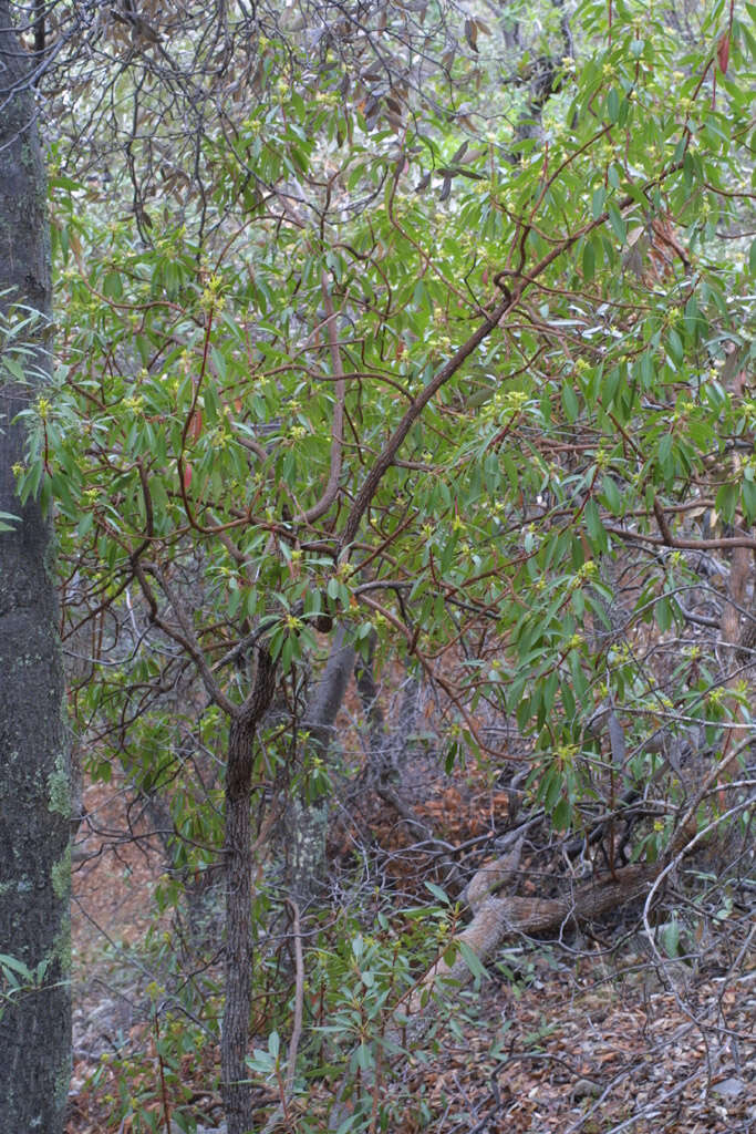
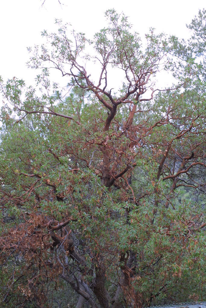
Madera Canyon, Coronado National Forest, Santa Cruz County, Arizona, US
-
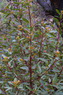
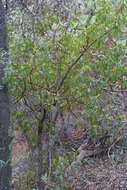
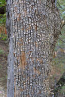
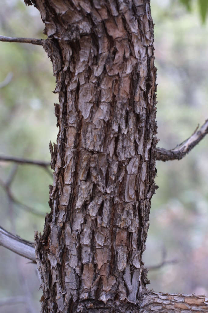
Madera Canyon, Coronado National Forest, Santa Cruz County, Arizona, US
-
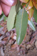
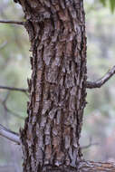
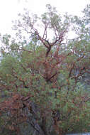
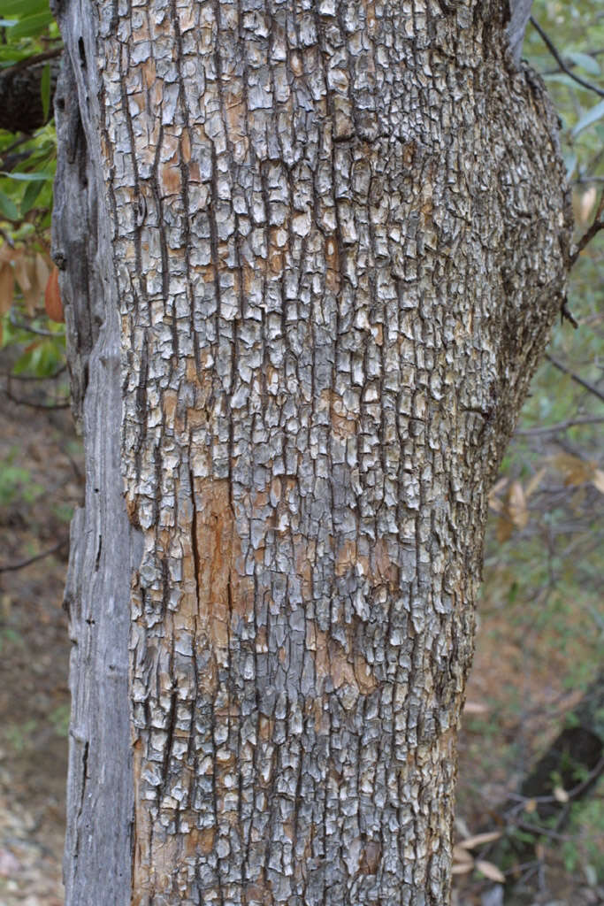
Madera Canyon, Coronado National Forest, Santa Cruz County, Arizona, US
-
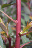
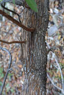
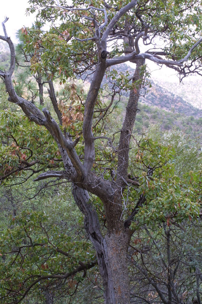
Madera Canyon, Coronado National Forest, Santa Cruz County, Arizona, US
-
Madera Canyon, Coronado National Forest, Santa Cruz County, Arizona, US
-
Madera Canyon, Coronado National Forest, Santa Cruz County, Arizona, US
-
Madera Canyon, Coronado National Forest, Santa Cruz County, Arizona, US
-
Madera Canyon, Coronado National Forest, Santa Cruz County, Arizona, US
-
Madera Canyon, Coronado National Forest, Santa Cruz County, Arizona, US
-
Madera Canyon, Coronado National Forest, Santa Cruz County, Arizona, US
-
Madera Canyon, Coronado National Forest, Santa Cruz County, Arizona, US
-
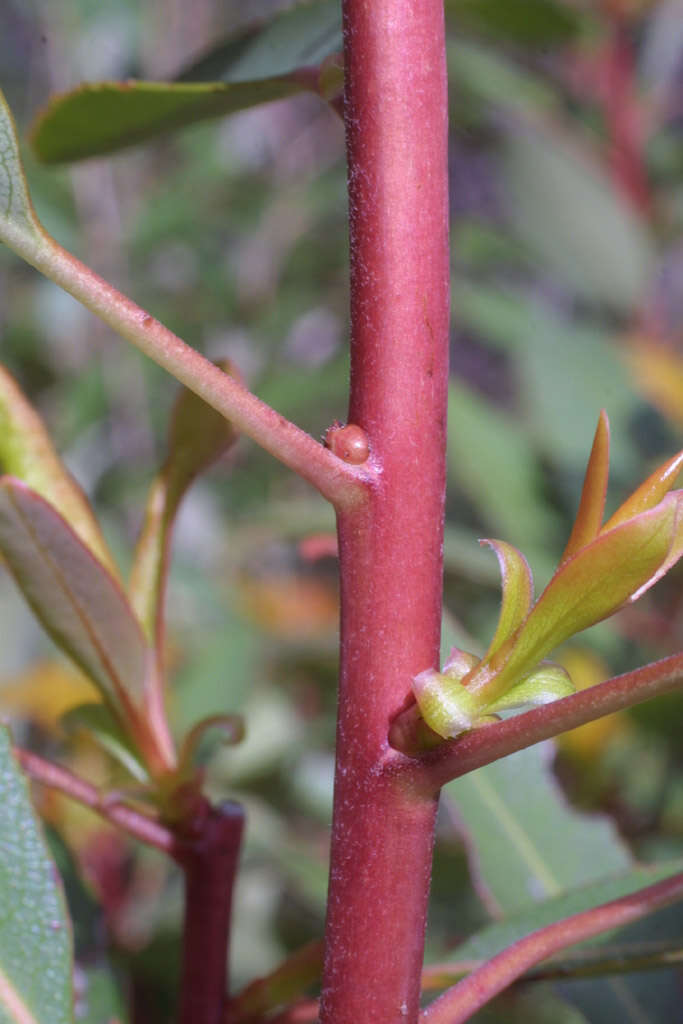
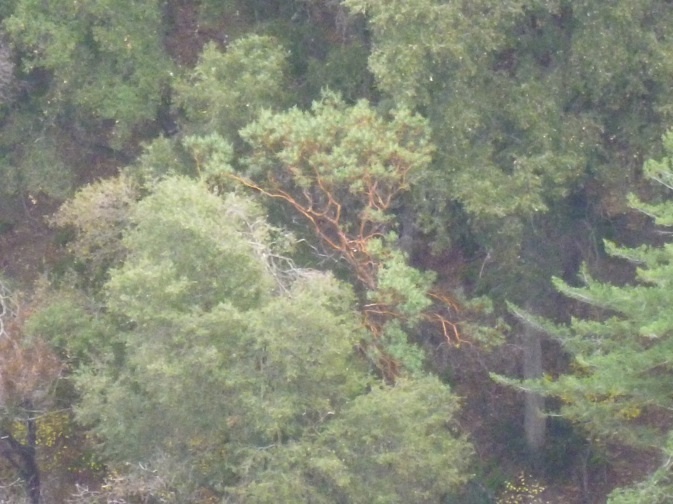
U.S. 101 near Discovery Bay, Jefferson County, Washington, US
-
U.S. 101 near Discovery Bay, Jefferson County, Washington, US
-
U.S. 101 near Discovery Bay, Jefferson County, Washington, US
-
U.S. 101 near Discovery Bay, Jefferson County, Washington, US
-
U.S. 101 near Discovery Bay, Jefferson County, Washington, US
-
U.S. 101 near Discovery Bay, Jefferson County, Washington, US
-
U.S. 101 near Discovery Bay, Jefferson County, Washington, US
-
U.S. 101 near Discovery Bay, Jefferson County, Washington, US
-
U.S. 101 near Discovery Bay, Jefferson County, Washington, US
-
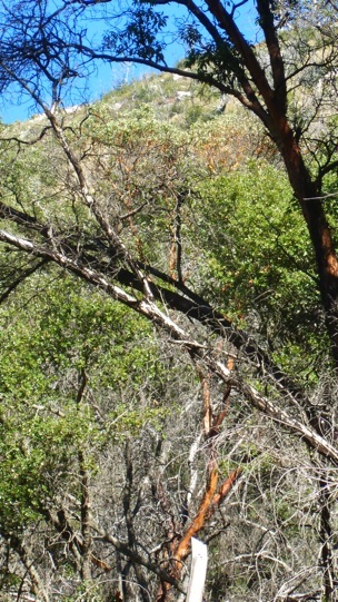
Hiked in from the 76.
-
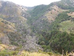
Hiked in from the 76. Photo showing the upper Agua Tibia 'bowl'. Madrones here and there throughout bottom of bowl.
-
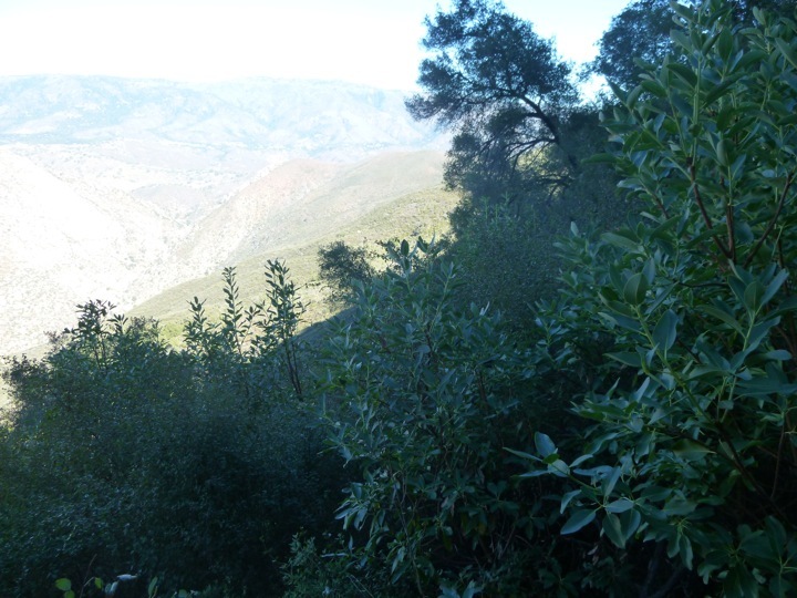
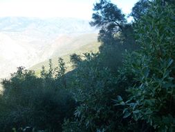
Hiked in from the 76. This individual Madrone is in the bottom of the bowl by the west side creek(there's also an east side creek in the upper Agua Tibia bowl), photo direction is showing northward.
-
Below the middle 'V' of the magnificent Rodriguez Mtn. escarpment, at the base of the escarpment cliffs. Approach was from Hell Hole Canyon Preserve. Photo view looking out to Palomar Mtn. and La Jolla Indian Reservation in mid-ground. Upper San Luis Rey River is in the bottom ravine. About eight burl-sprouting clumps(due to fire in 2007) of Madrone are in this population patch, about 8 to 10 feet tall from ground level, with multiple shoots per burl. There is no trail to get here, it's a very gnarly access.