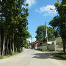
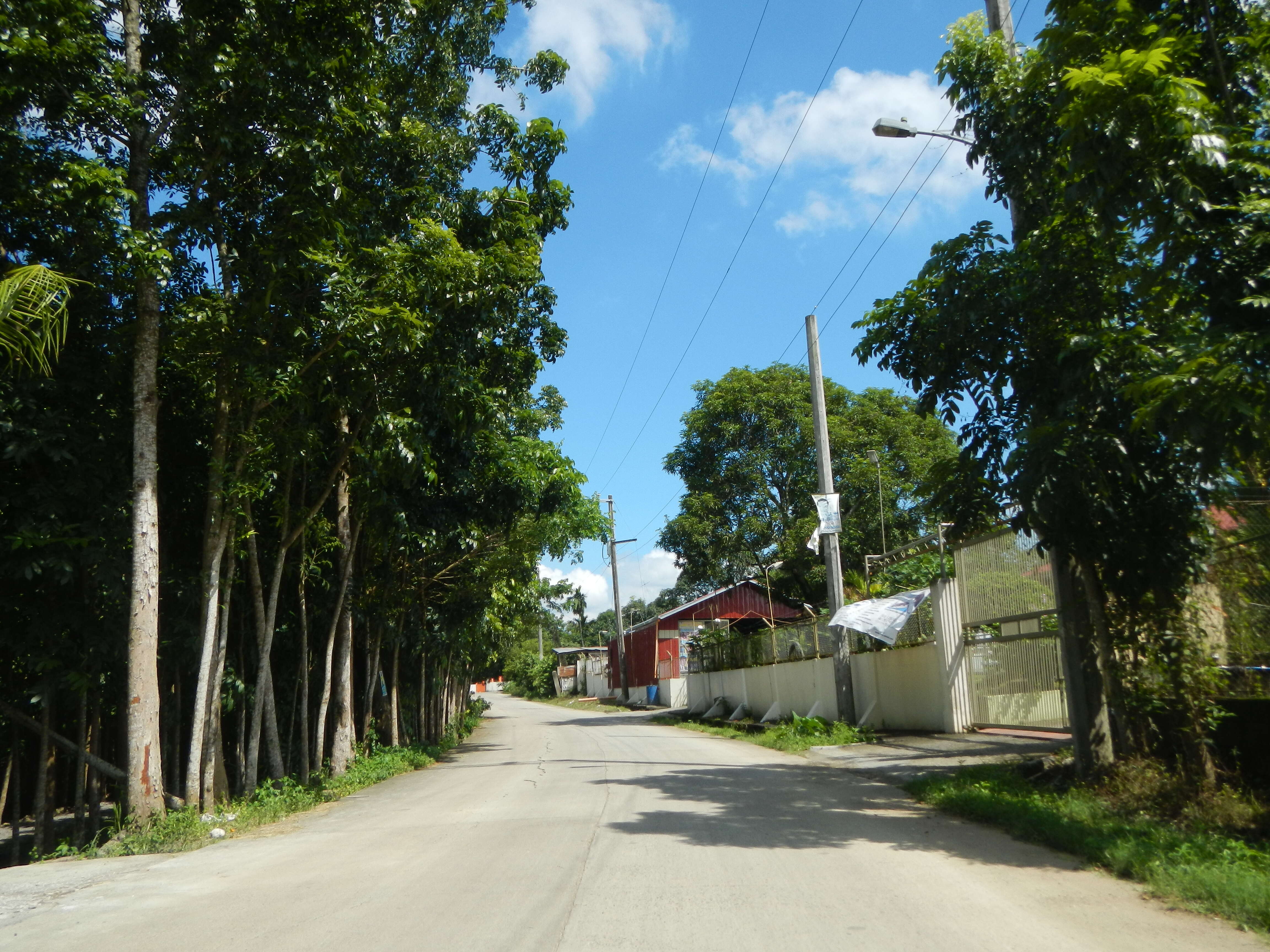
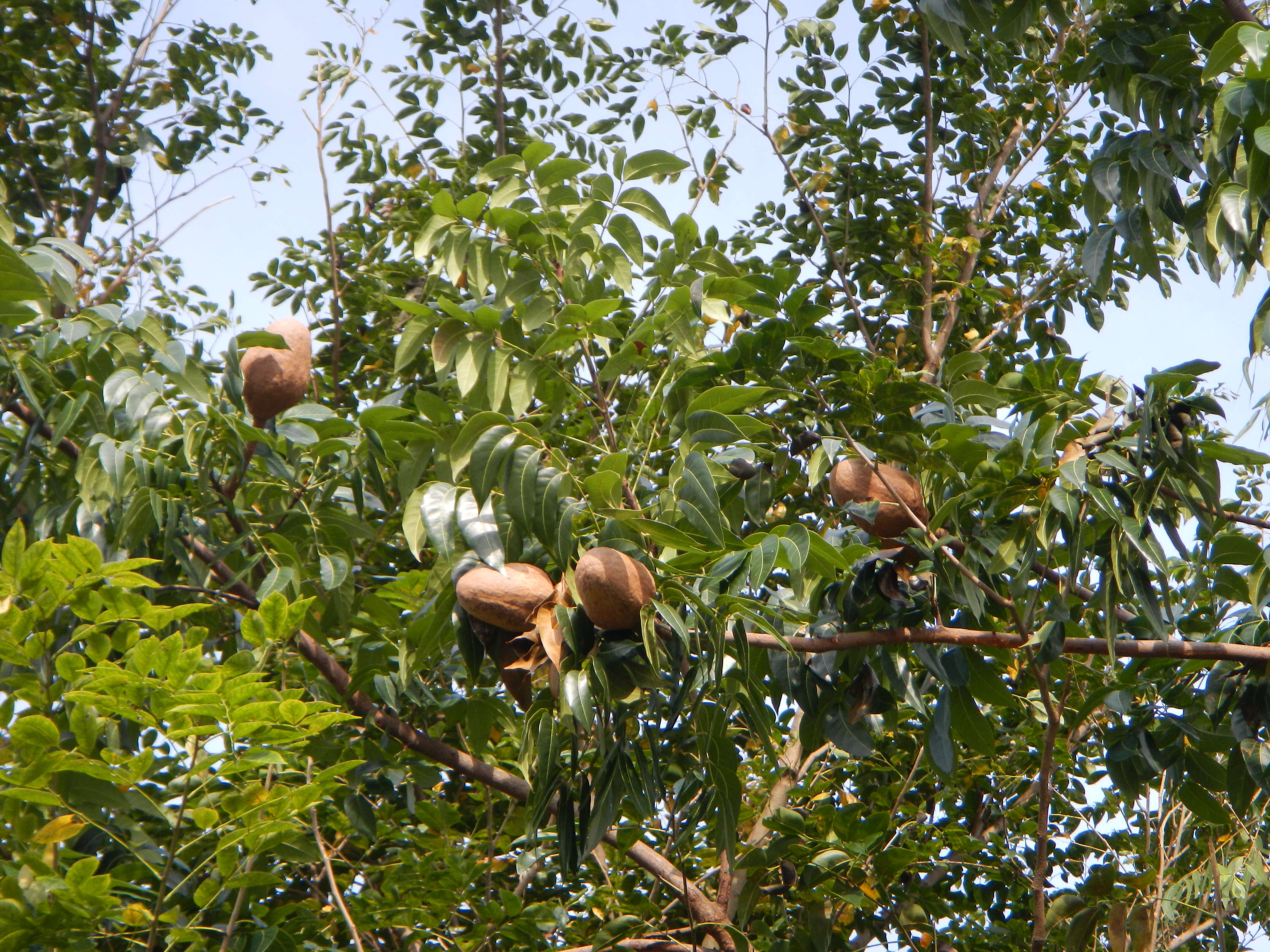
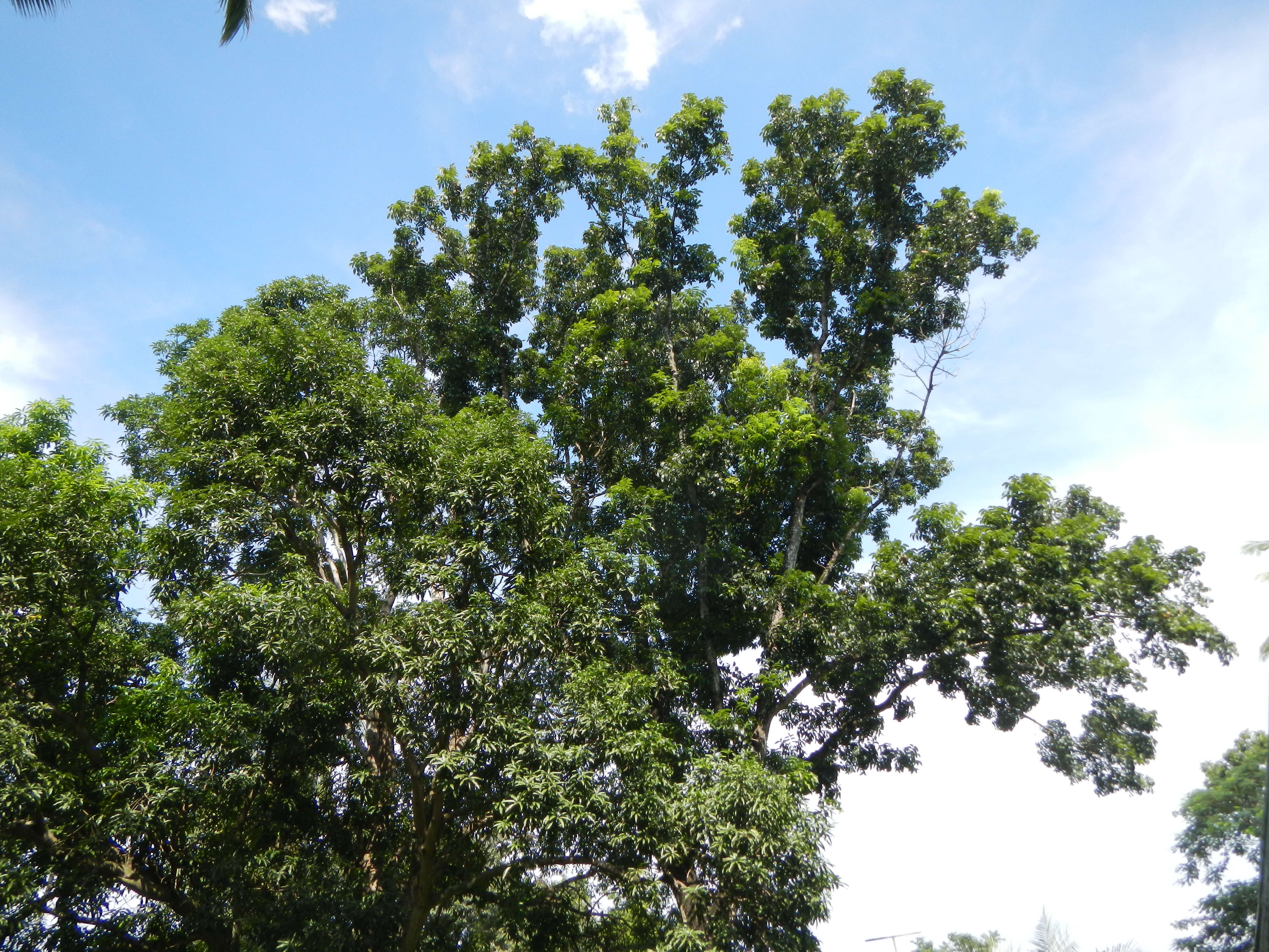
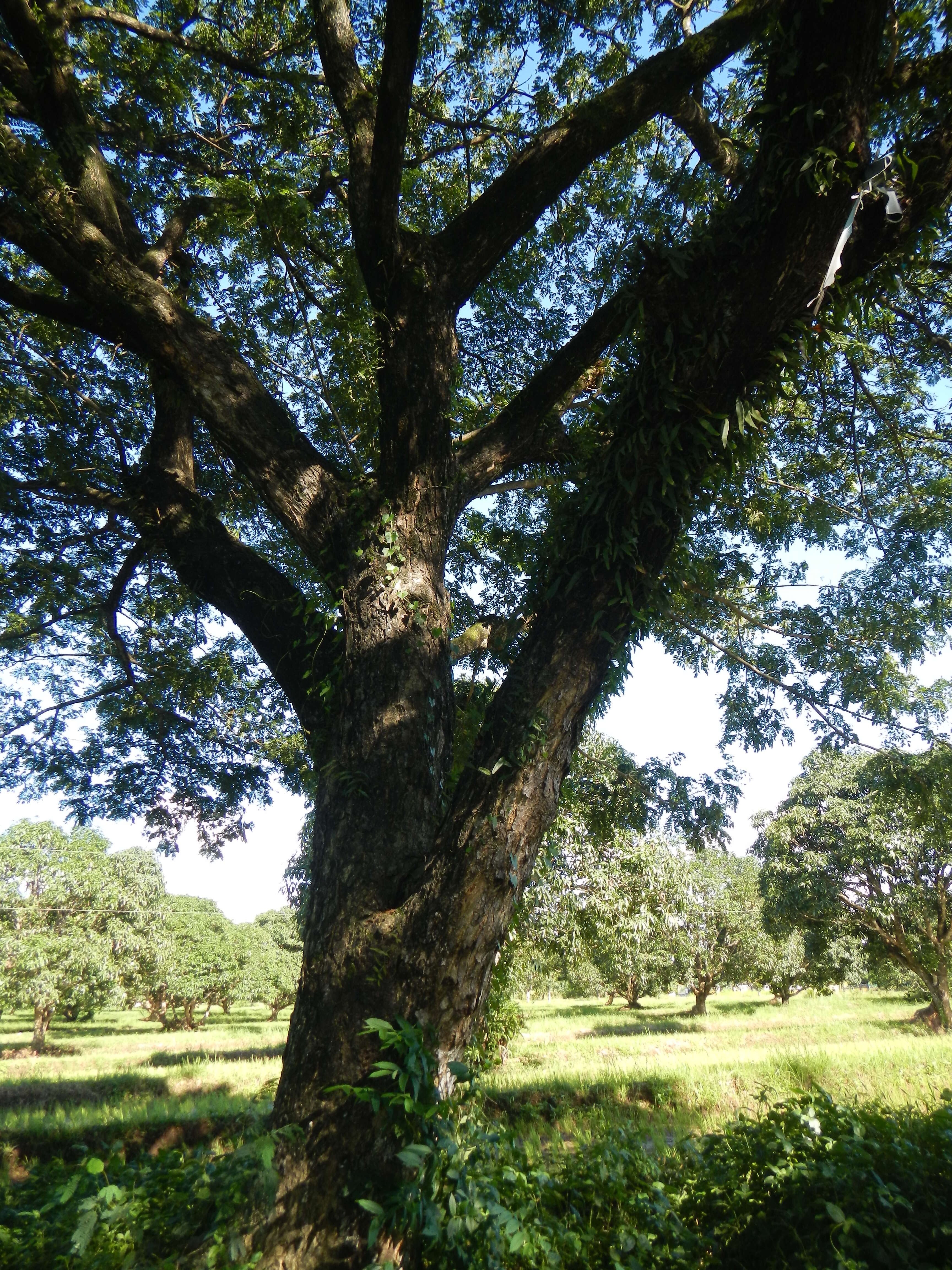
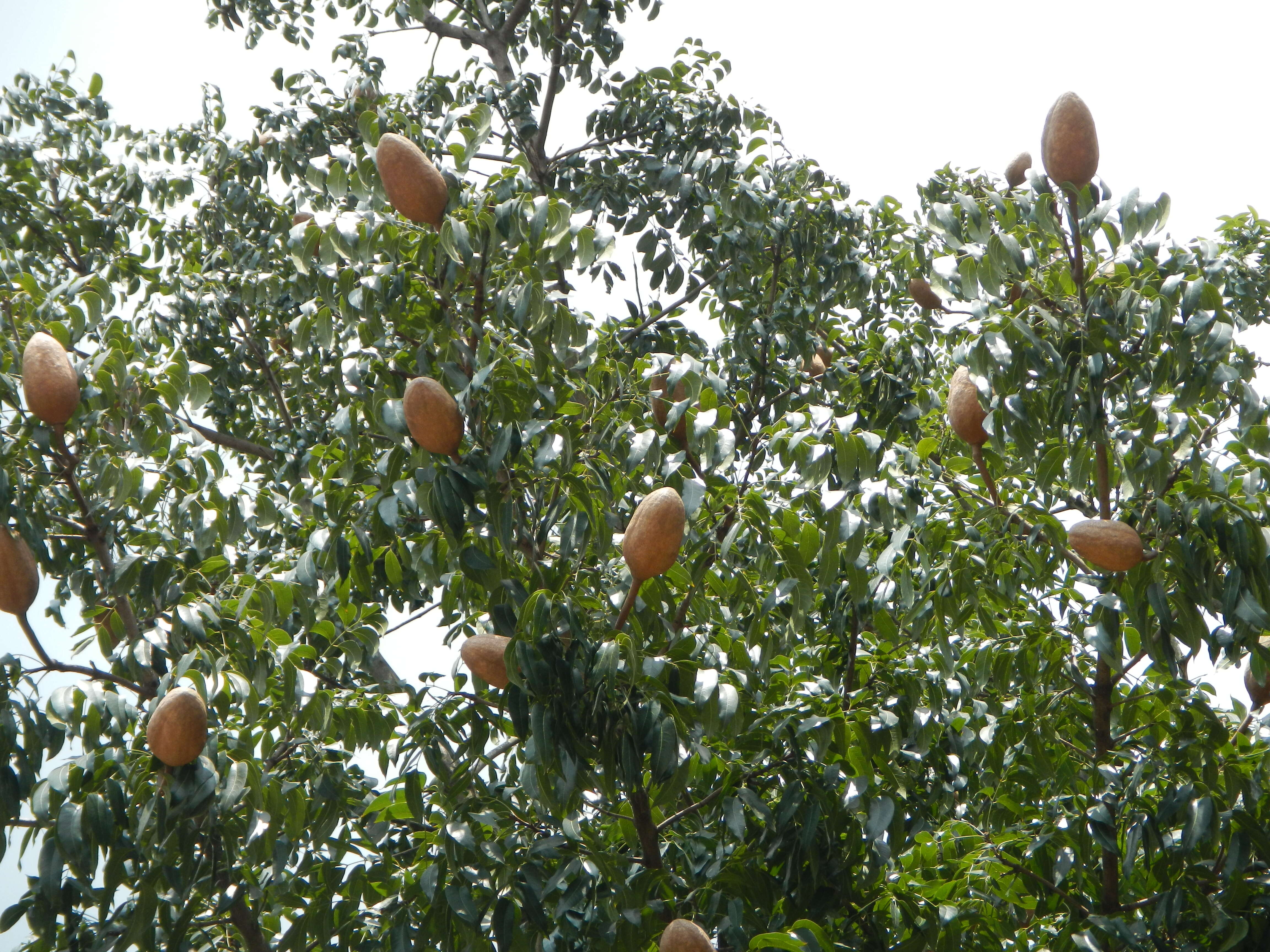
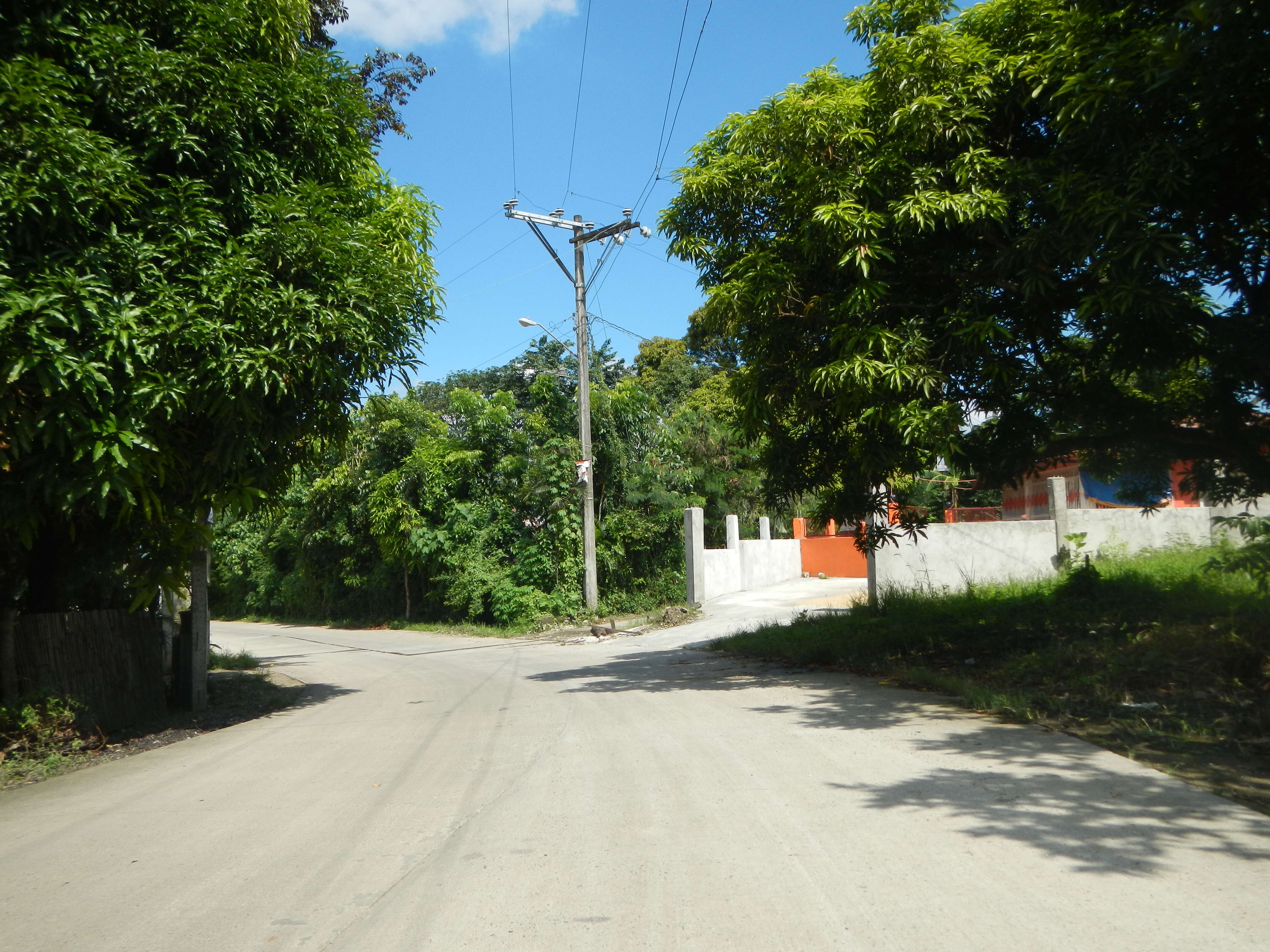
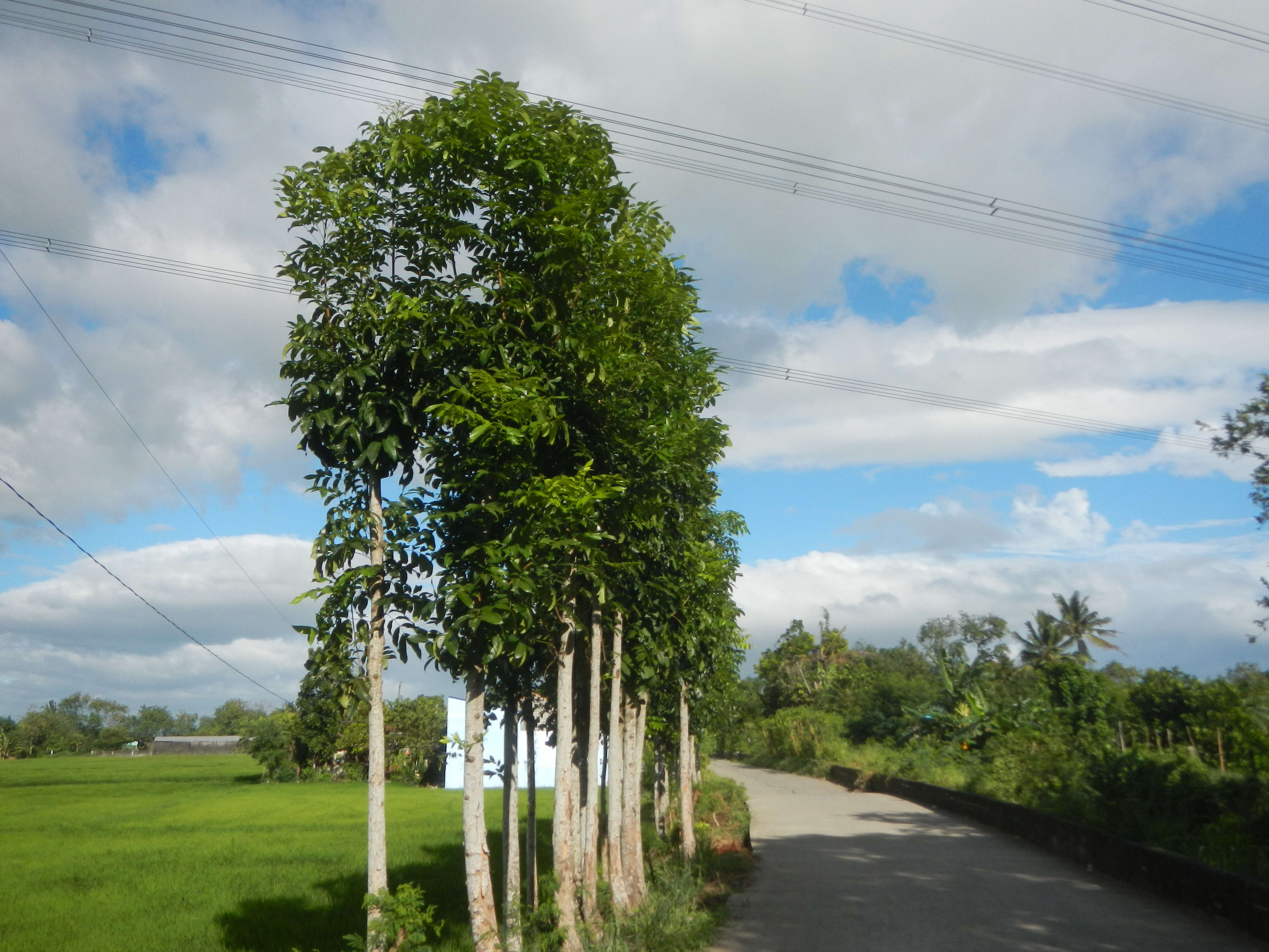
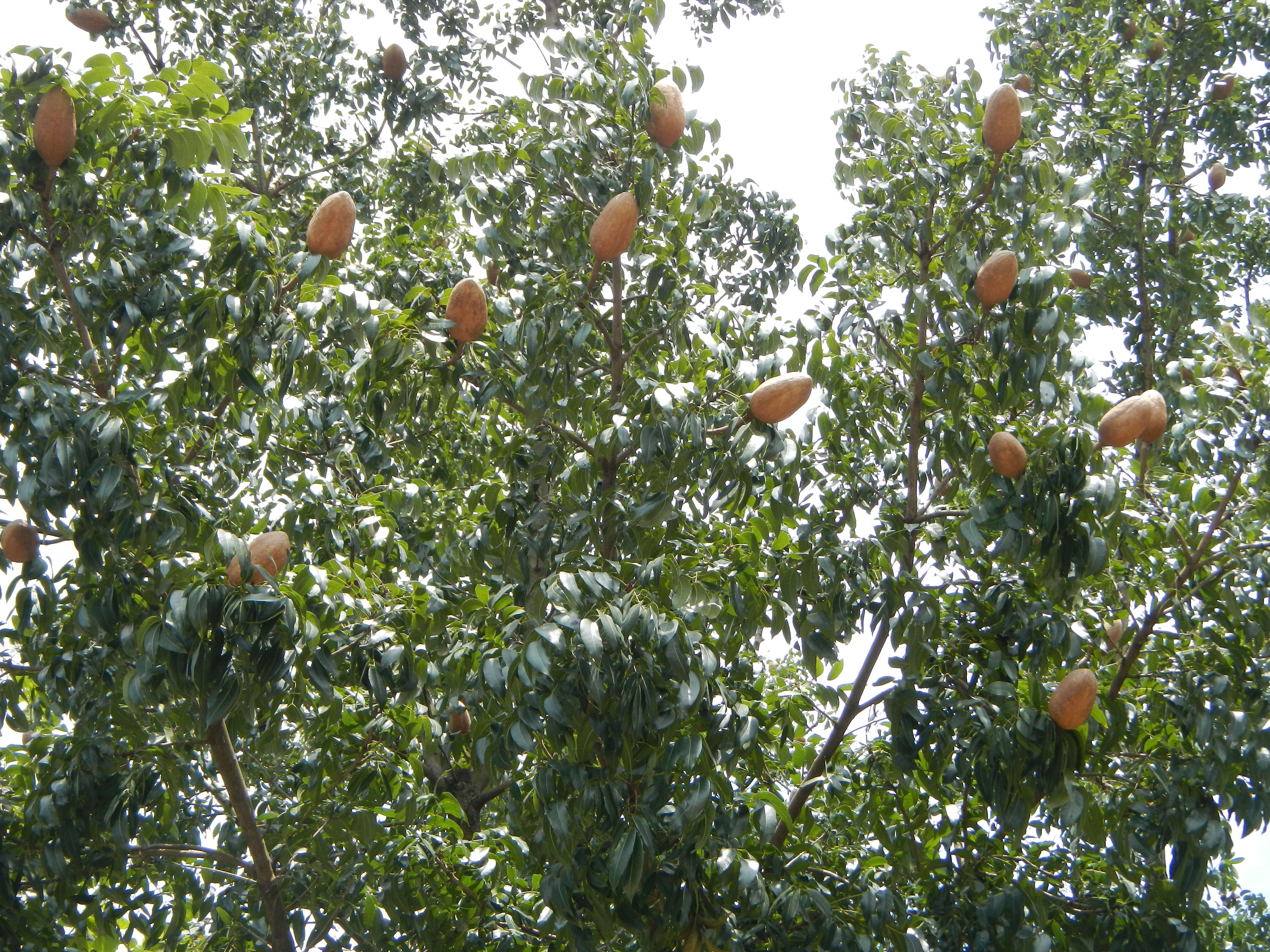
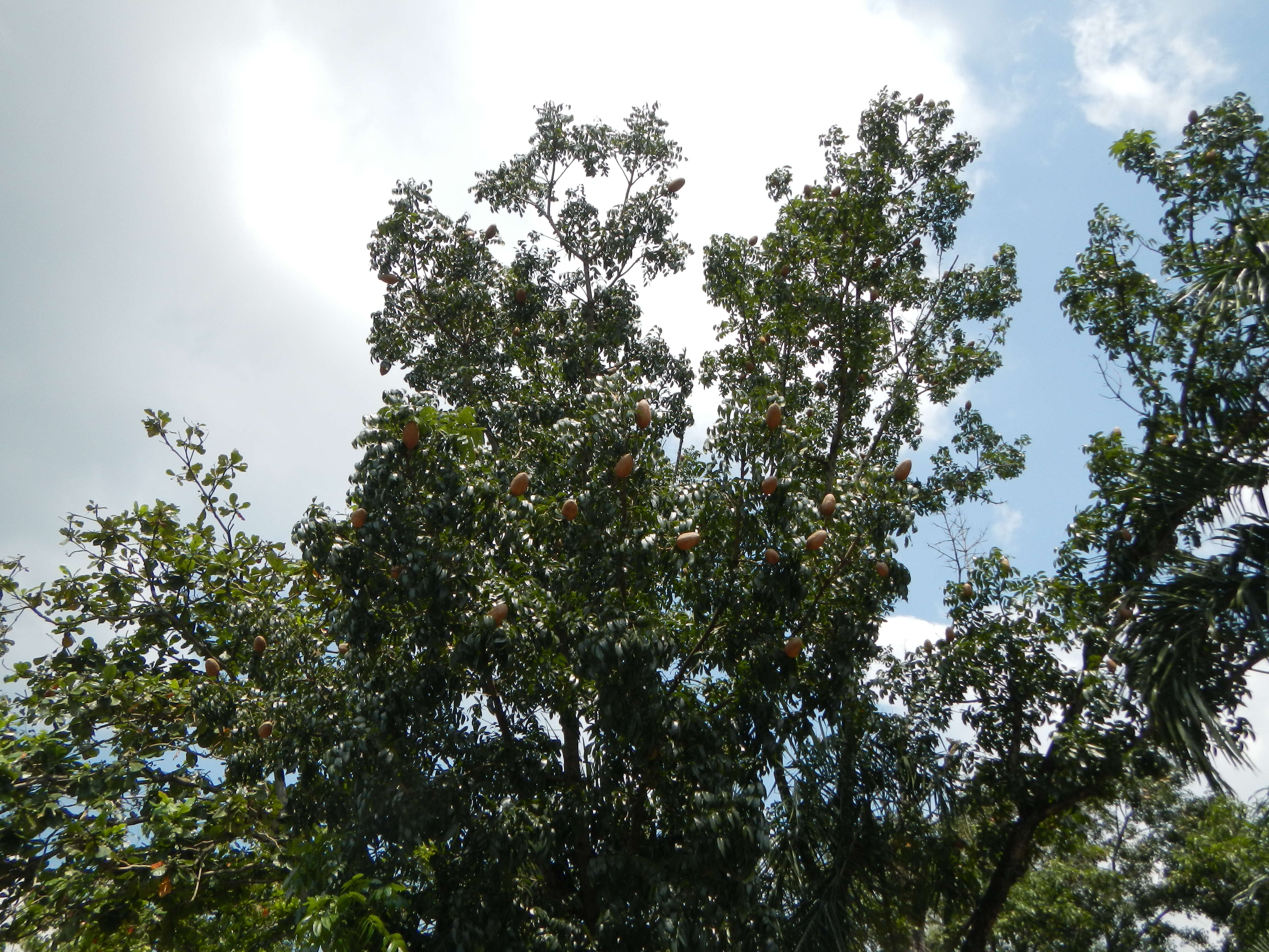
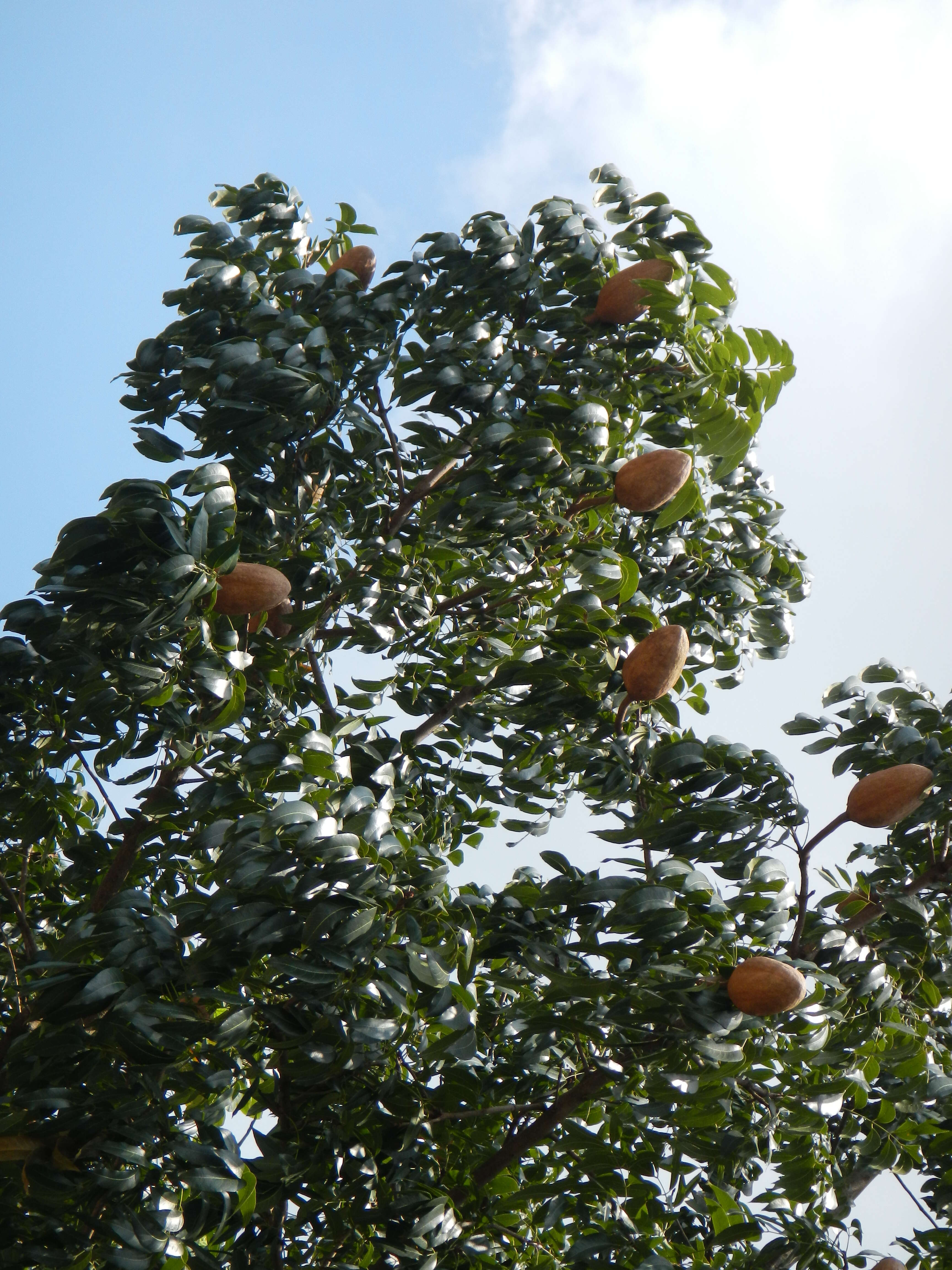
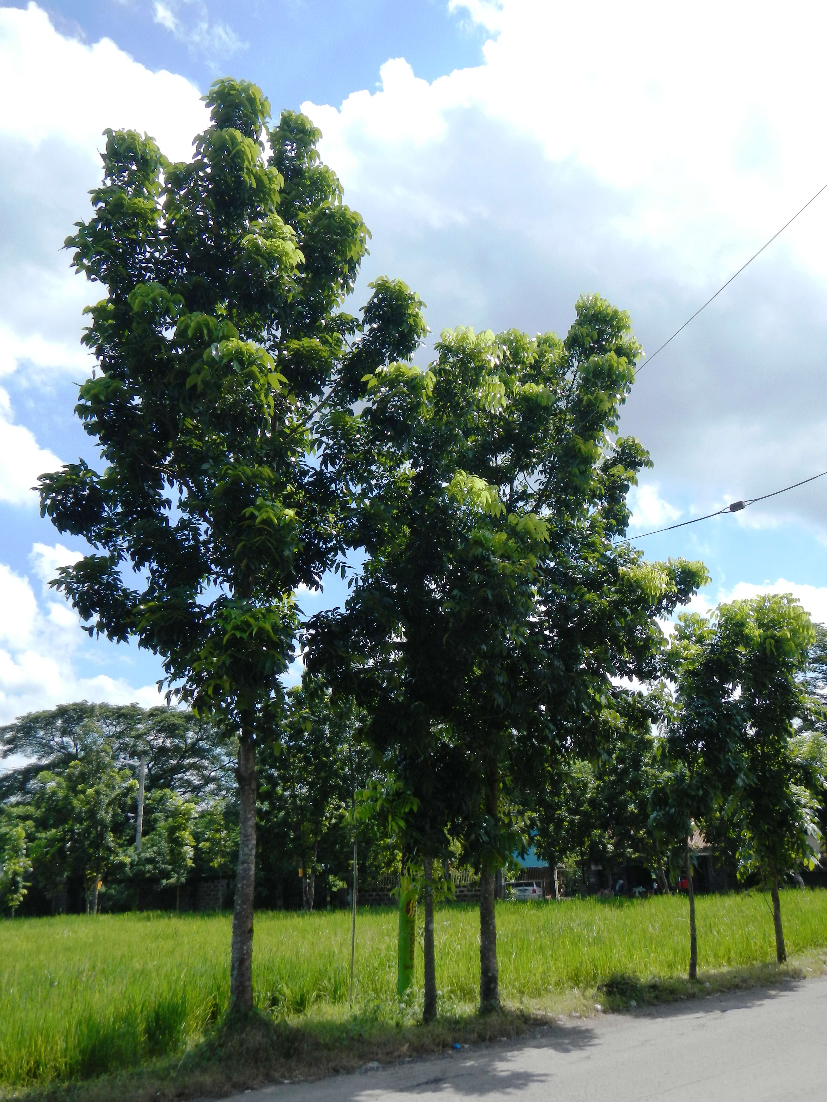
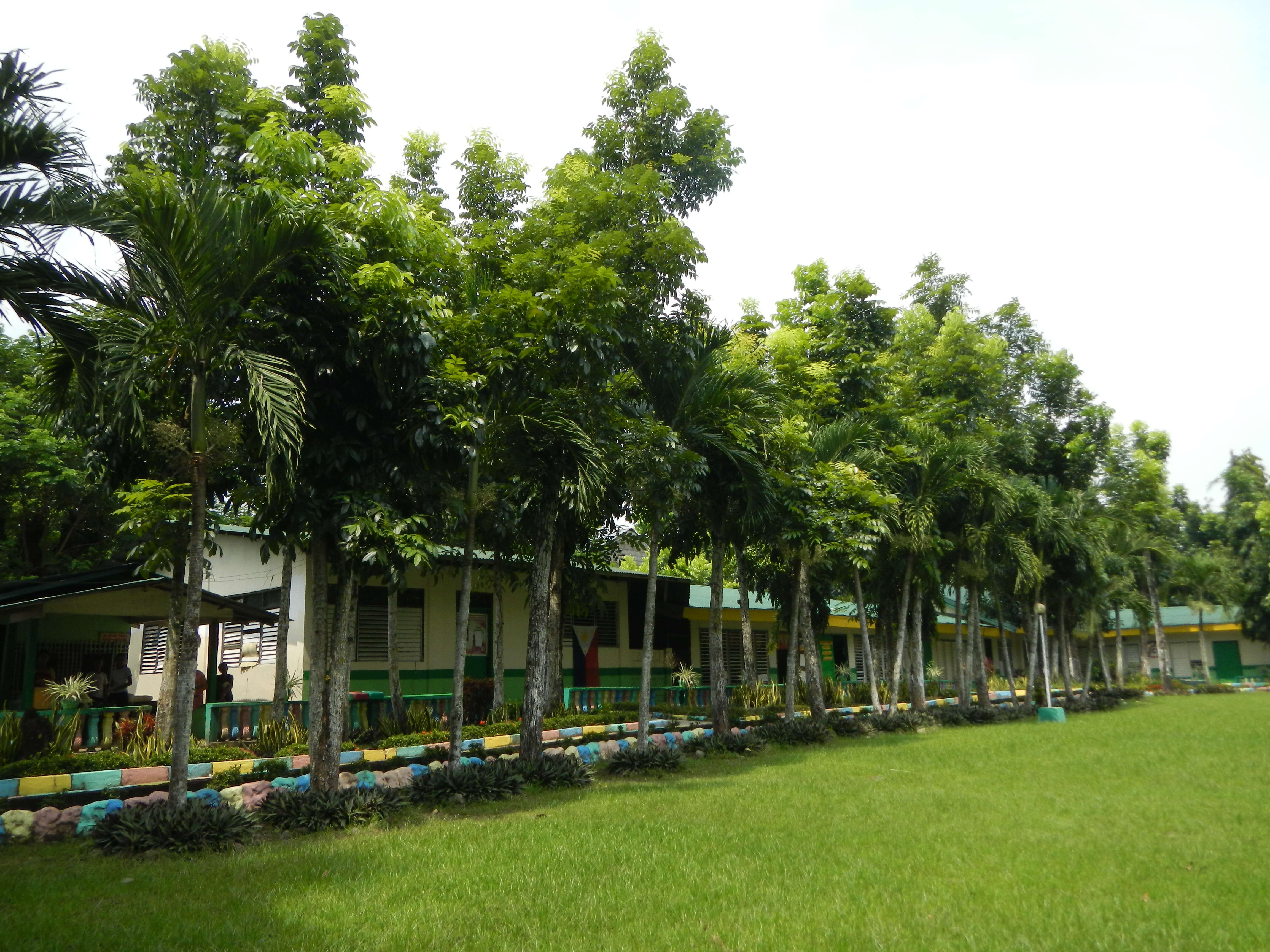
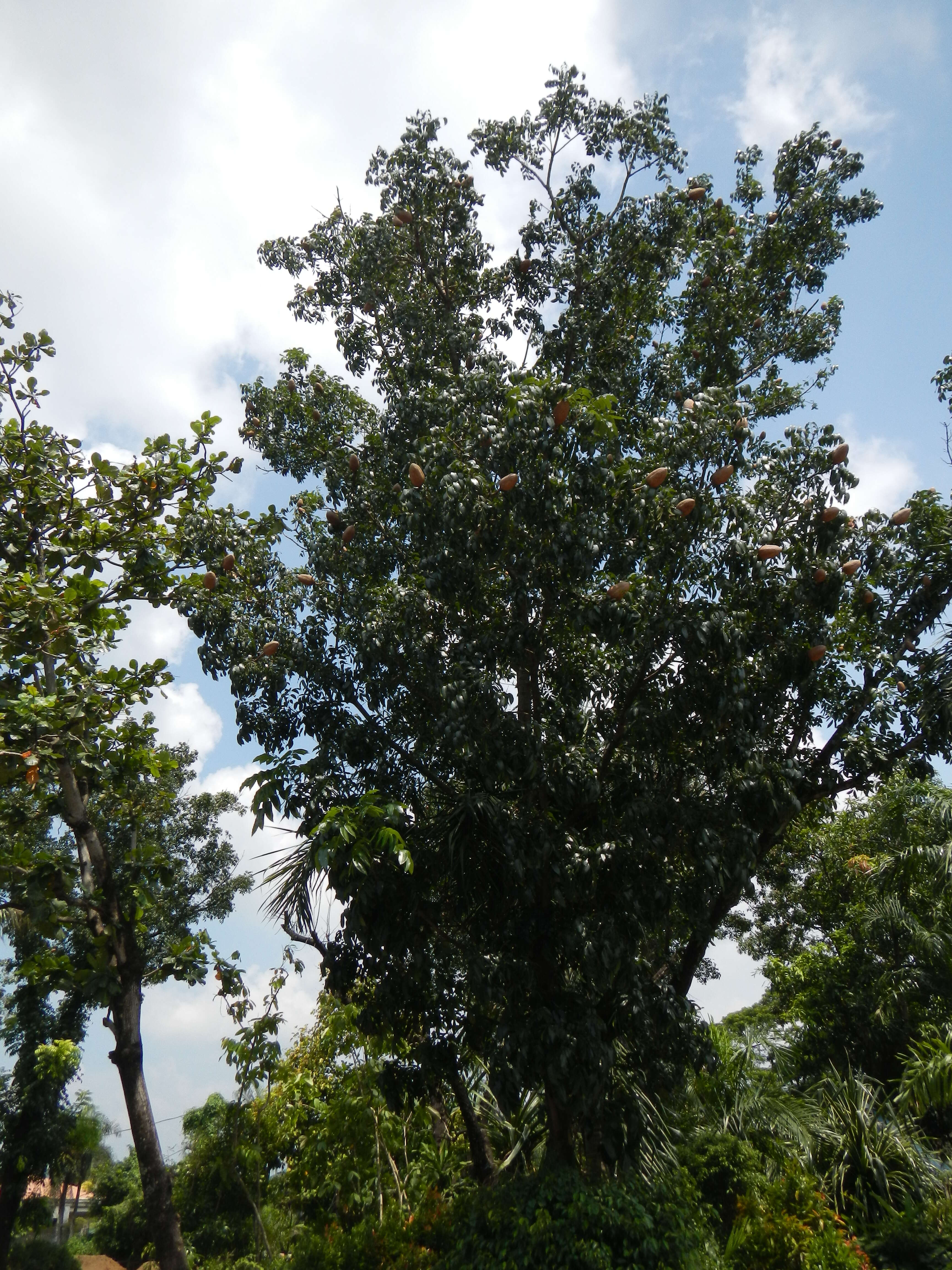
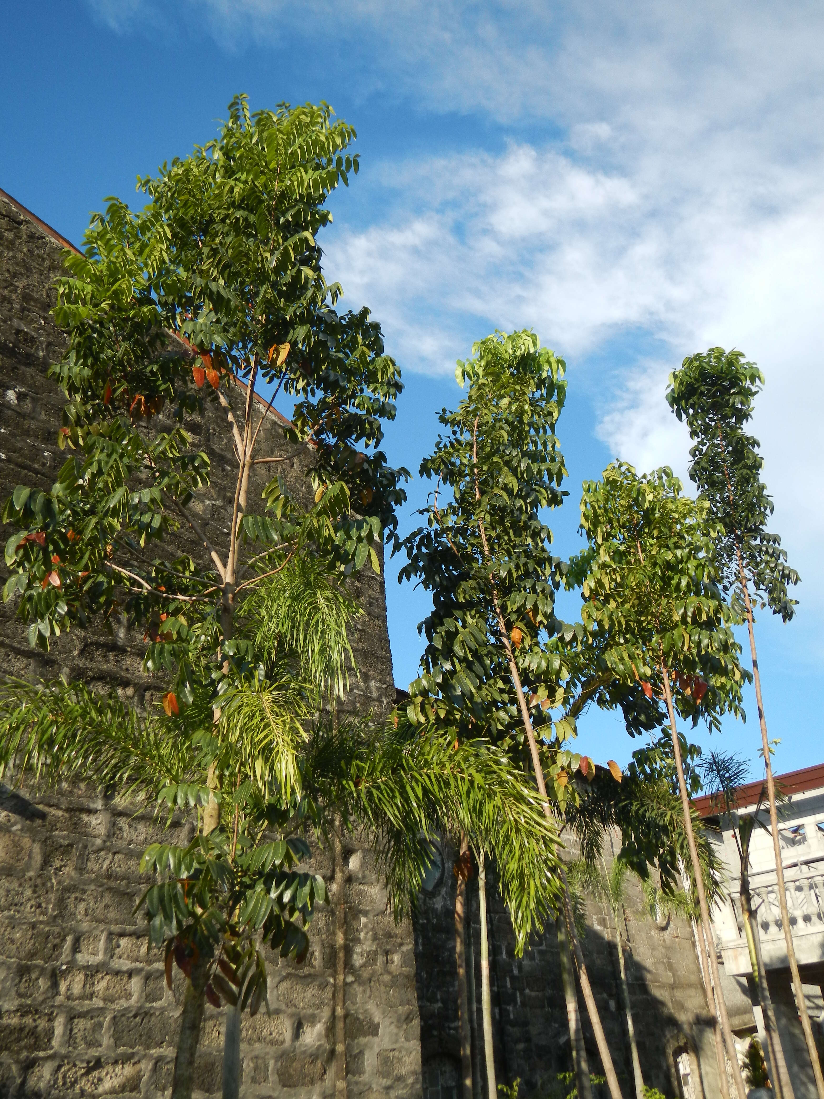
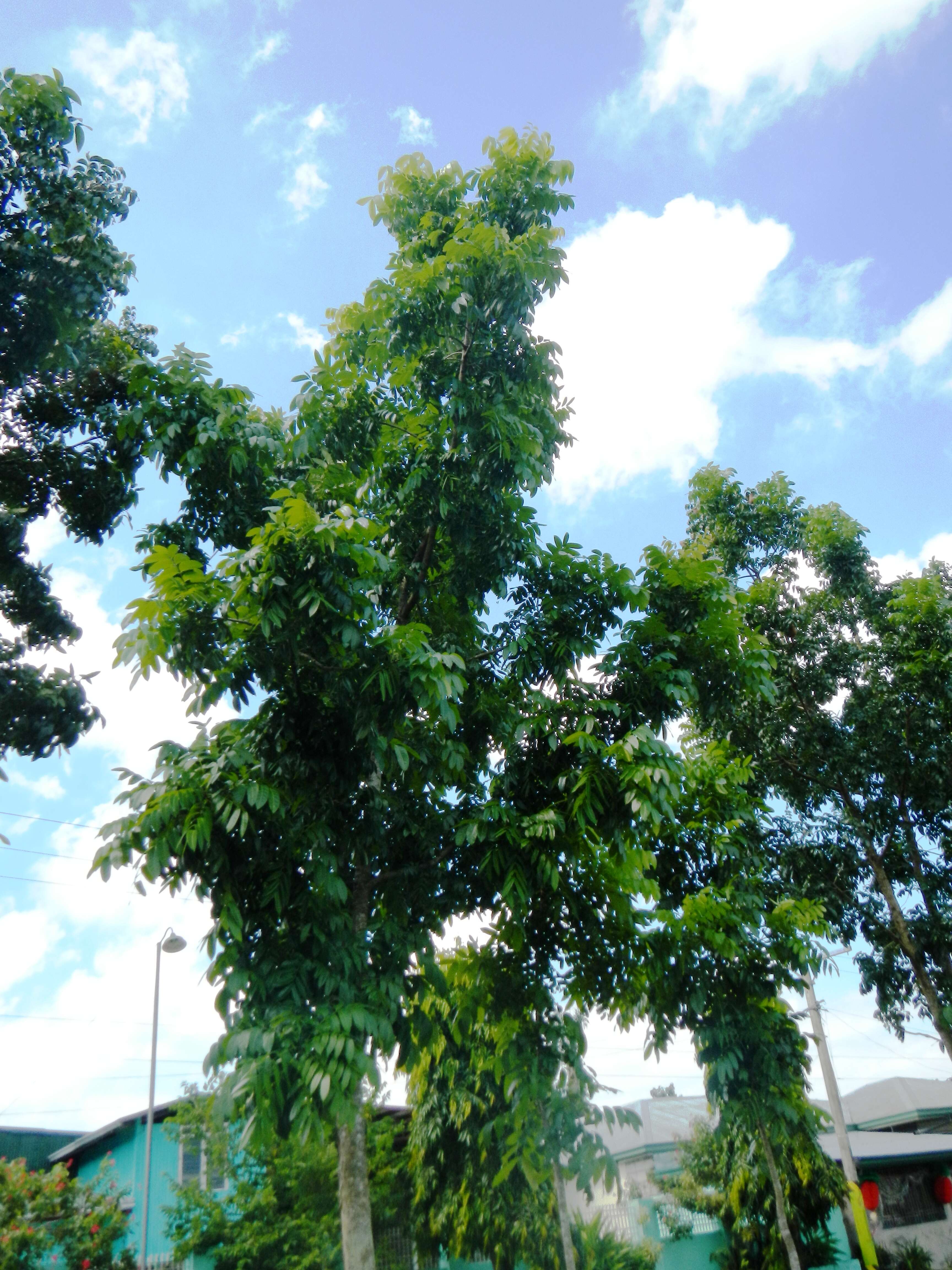
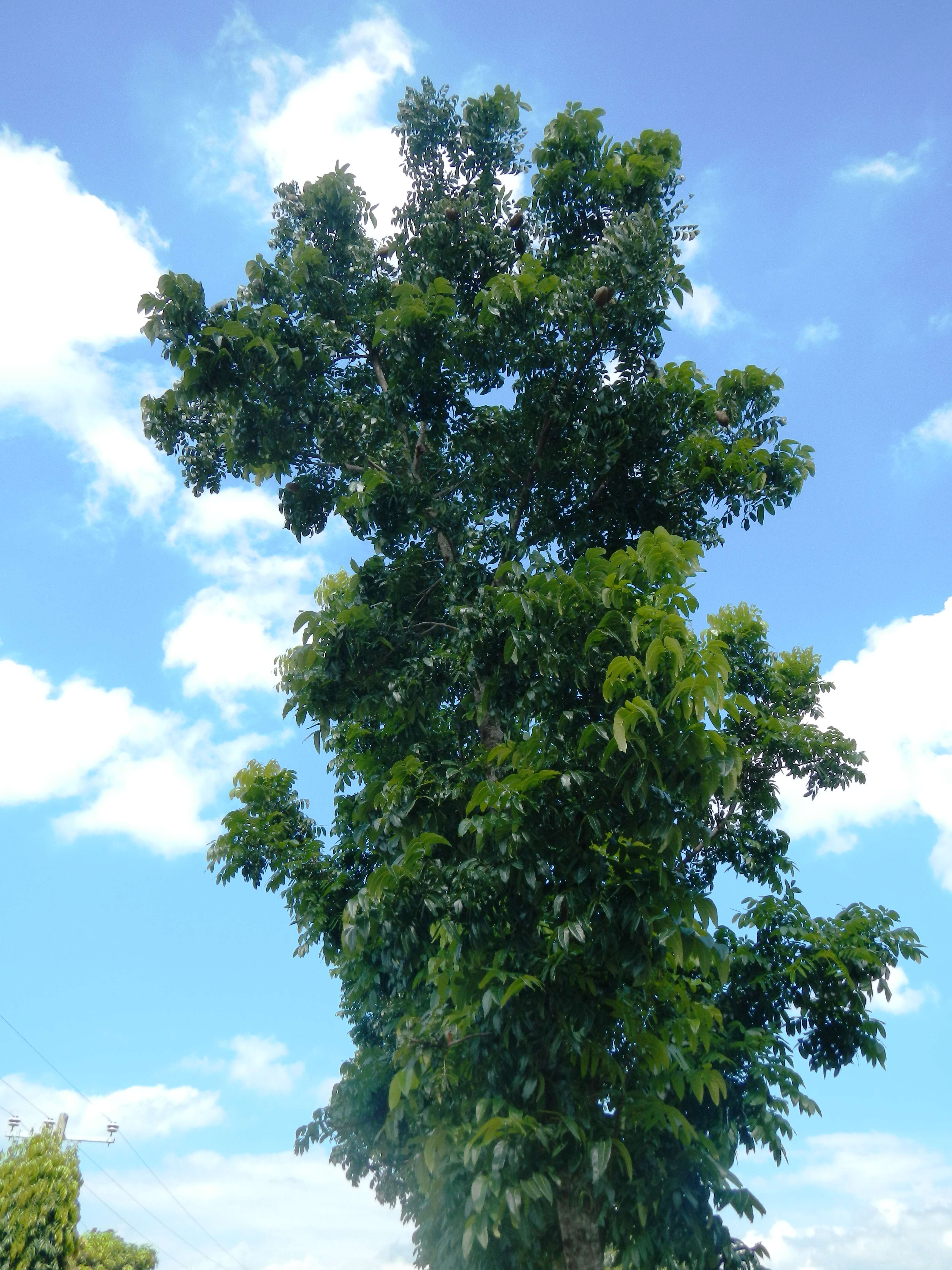
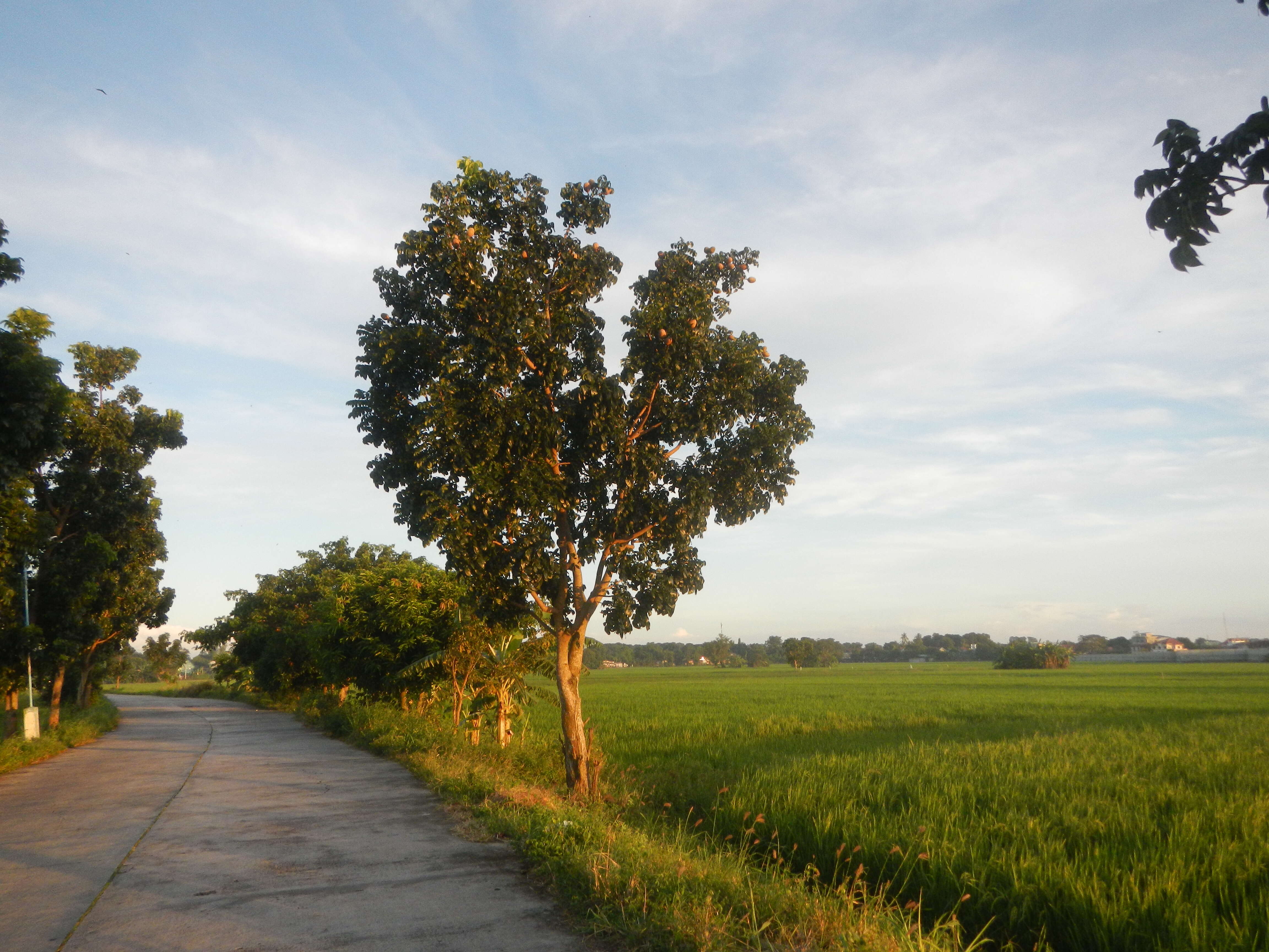
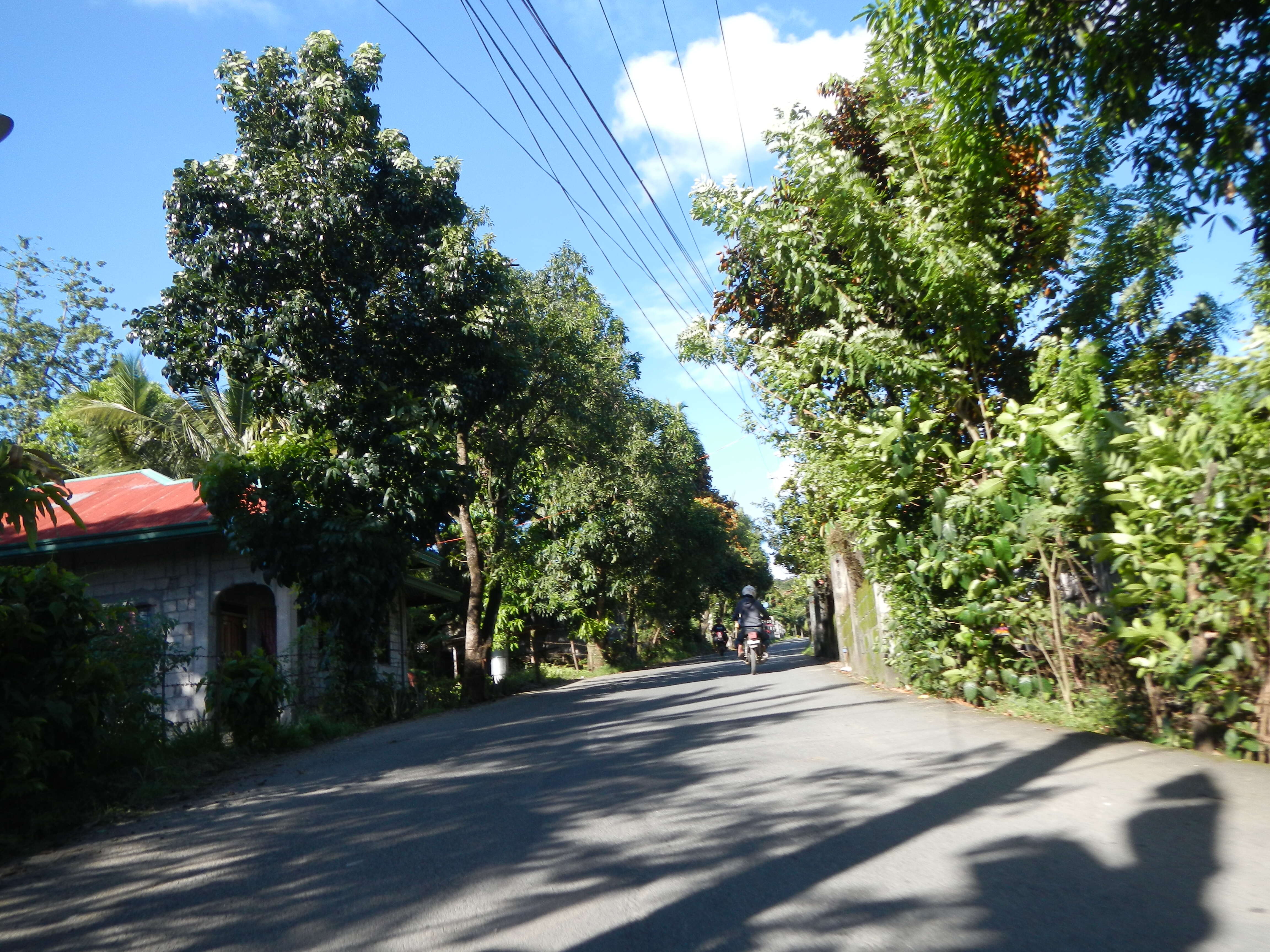
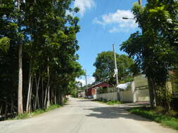
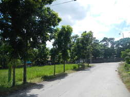
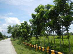
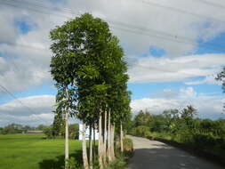
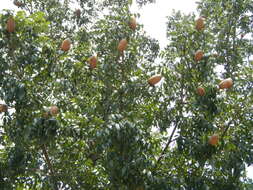
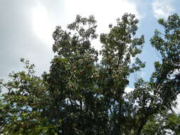
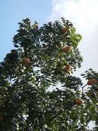
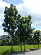
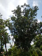
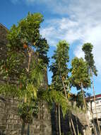
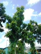
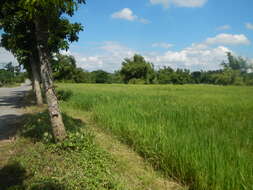
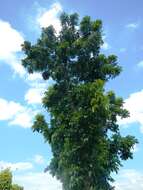
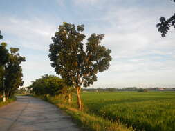
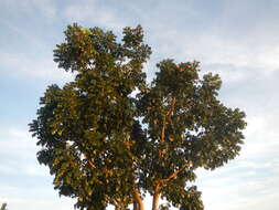
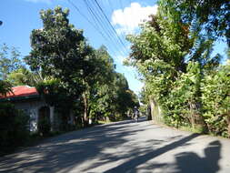
Description: English: Landscape of paddy fields and trees (Navarro Subdivision, Estrella Highway, Makinabang, Baliuag, Bulacan)
Barangays Makinabang 14°55'11"N 120°53'4"E
Tarcan,
Baliuag, Bulacan,
Bulacan, along
DRT Highway or Maharlika Highway (Cagayan Valley Road, Baliuag-Pulilan-Guiguinto, Bulacan)
Pan-Philippine Highway, also known as the Maharlika "Nobility/freeman" Highway or Asian Highway 26, Cagayan Valley Road
Daang Maharlika, Baliuag, Bulacan 14°57'53"N 120°53'56"E
Navarro Subdivision 14°55'9"N 120°53'2"E (Note: Judge Florentino Floro, the owner, to repeat, Donor
Florentino Floro of all these photos hereby donate gratuitously, freely and unconditionally all these photos to and for Wikimedia Commons, exclusively, for public use of the public domain, and again without any condition whatsoever). Date: 28 October 2016, 16:59:43. Source: Own work. Author:
Judgefloro. Camera location
14° 55′ 11″ N, 120° 53′ 04″ E View all coordinates using:
OpenStreetMap 14.919722; 120.884444.
Makinabang 14°55'11"N 120°53'4"E Licensing[
edit] Public domainPublic domainfalsefalse. : I, the copyright holder of this work, release this work into the
public domain. This applies worldwide.In some countries this may not be legally possible; if so:I grant anyone the right to use this work for any purpose, without any conditions, unless such conditions are required by law.