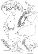
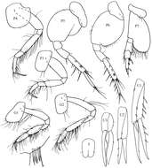
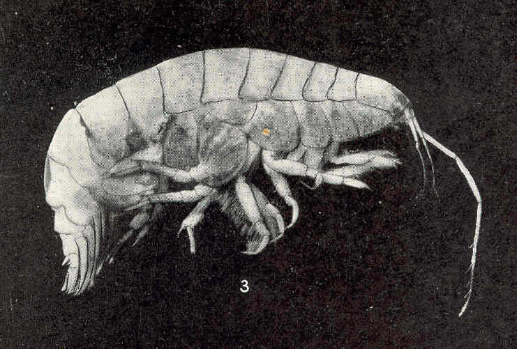
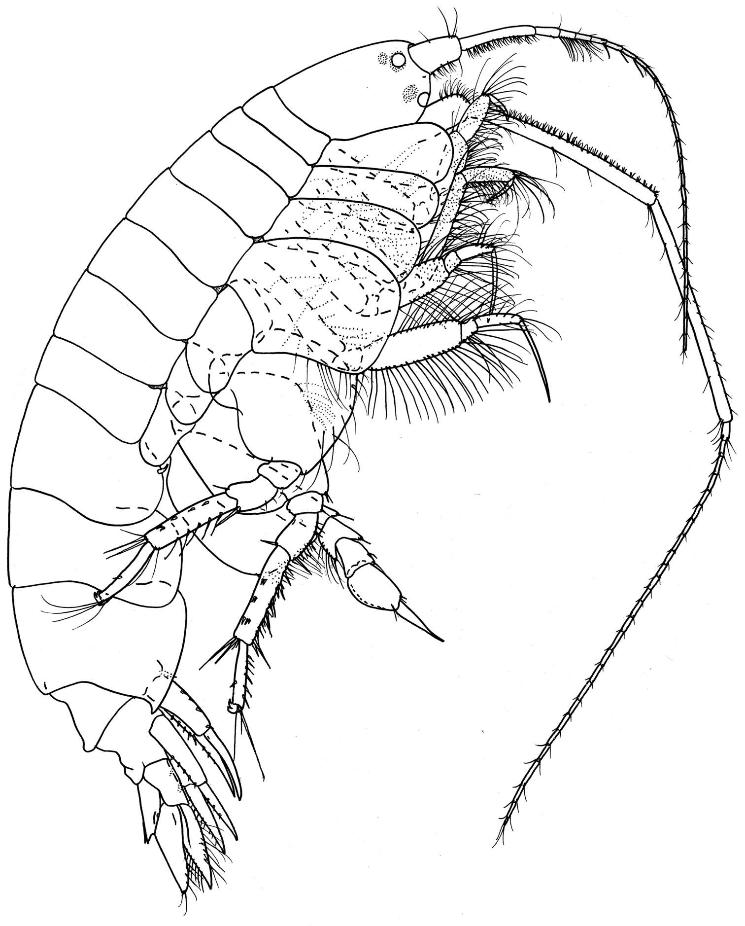
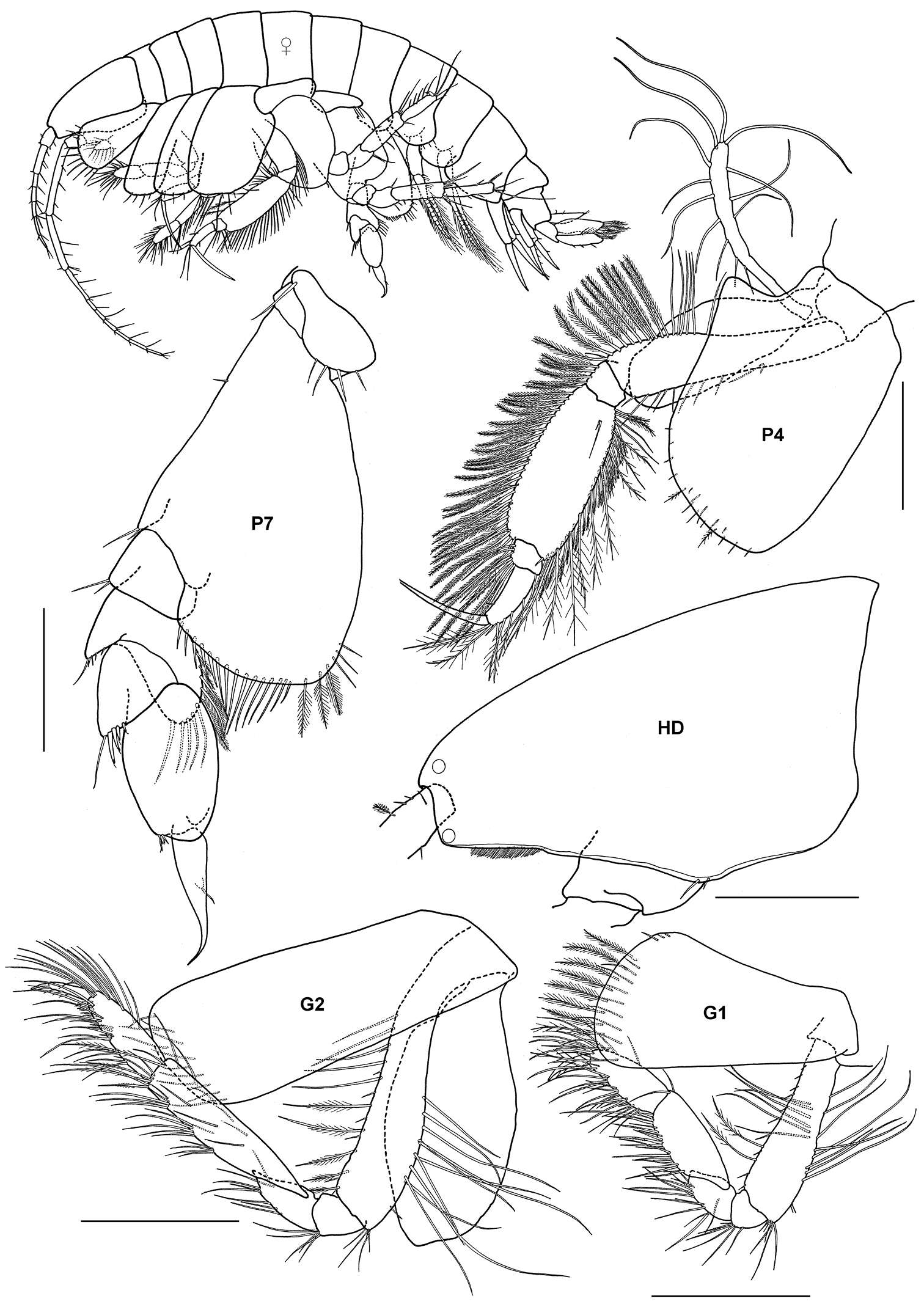
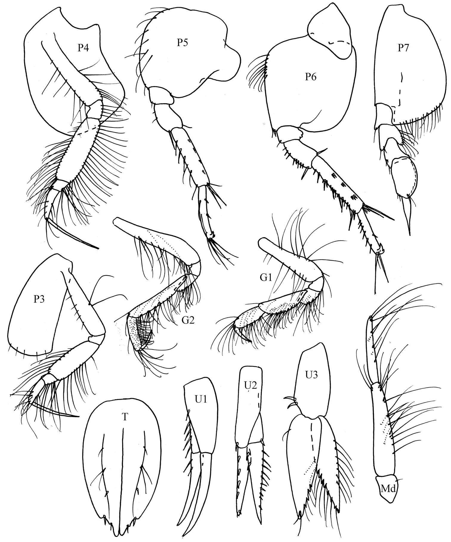
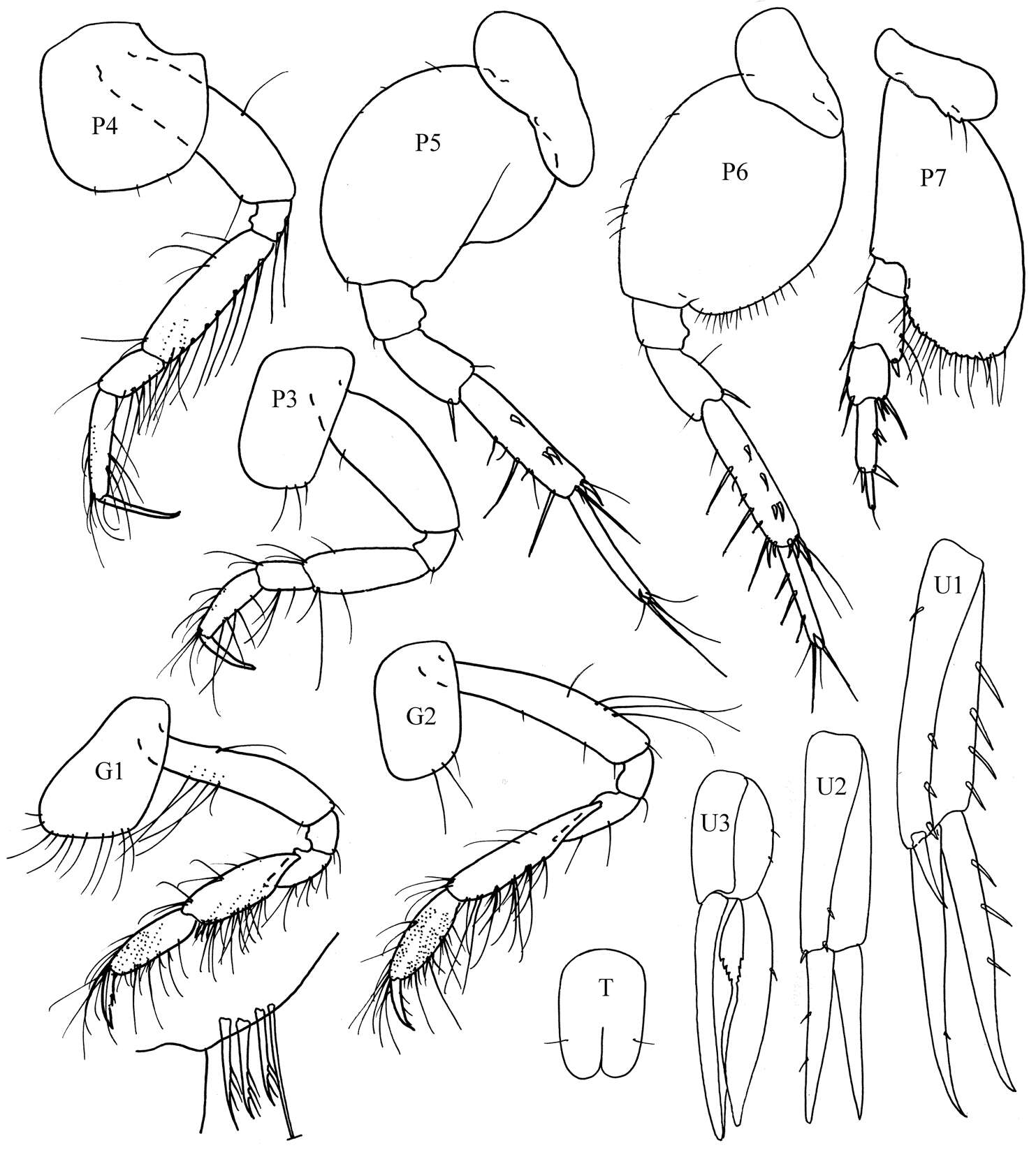
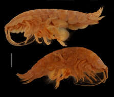
Figure 2.Ampelisca brevicornis (Costa), female (UKMMZ-1454), 4.8 mm. Renggis, Pulau Tioman. Scales for G1, G2, P4, P7 represent 0.5 mm; HD scale = 0.2 mm.
Washington State Department of Ecology
Flickr Group
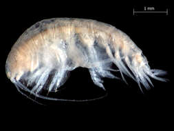
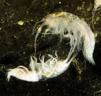
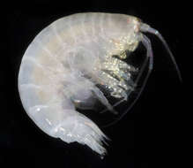
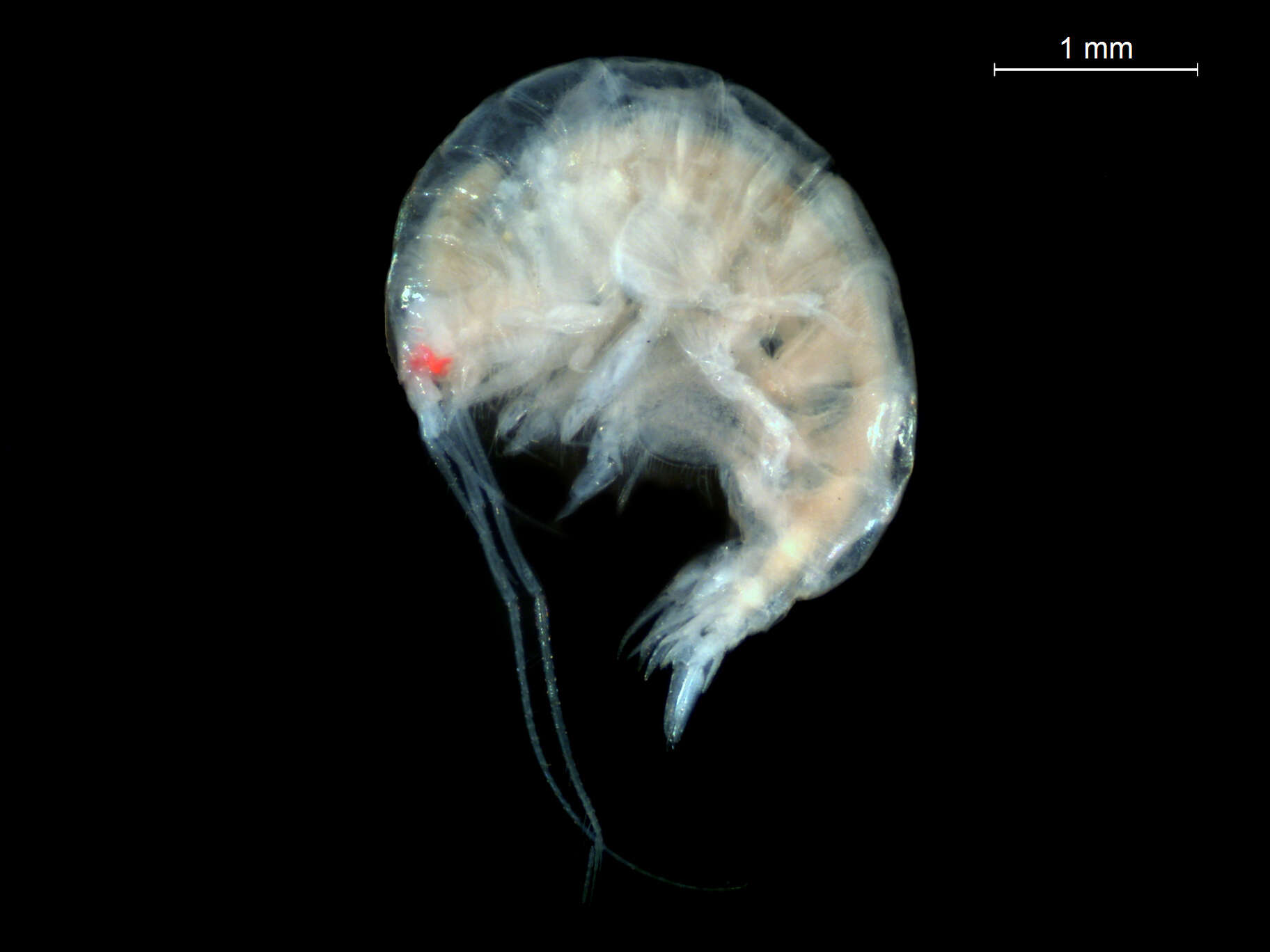
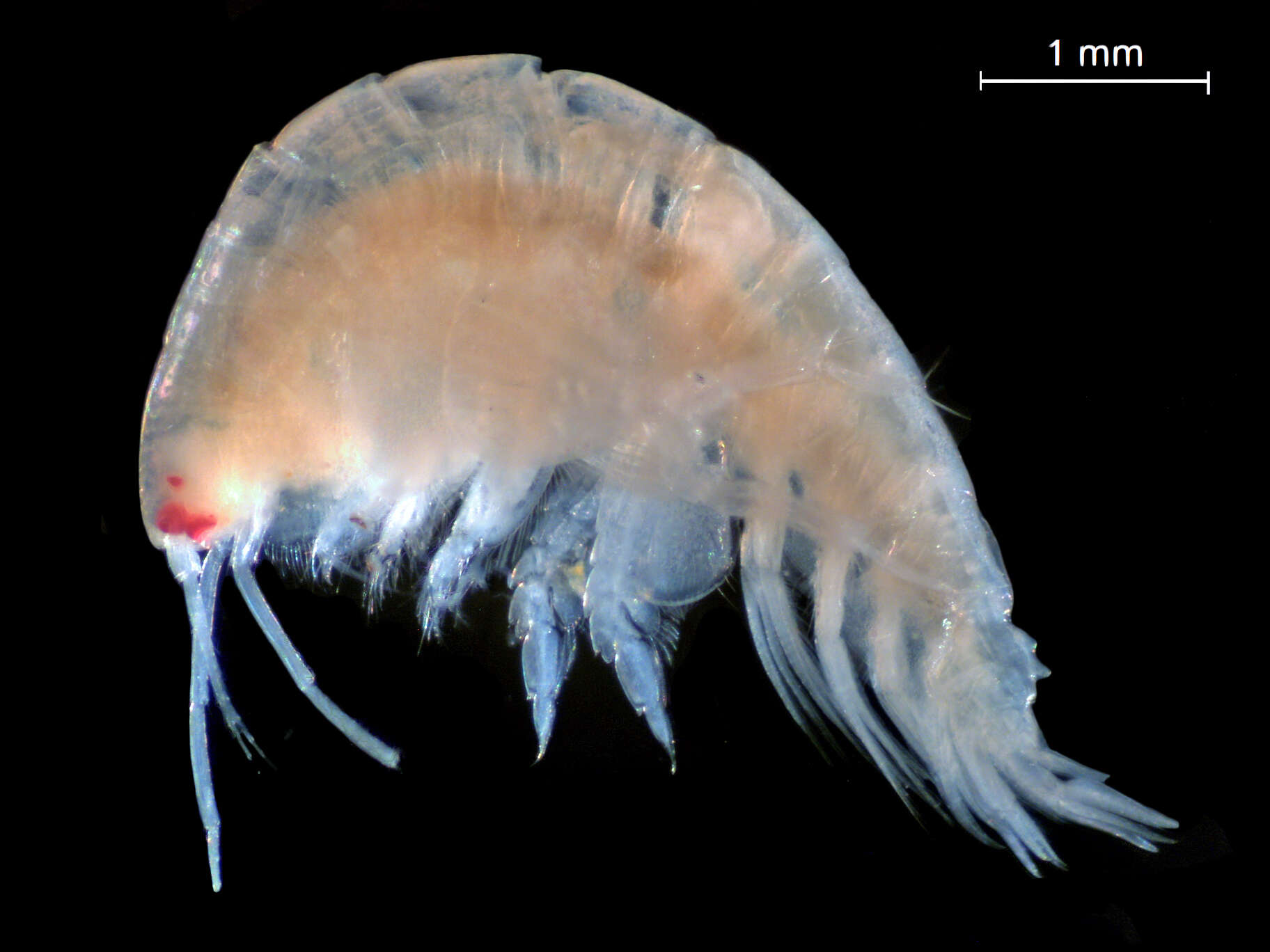
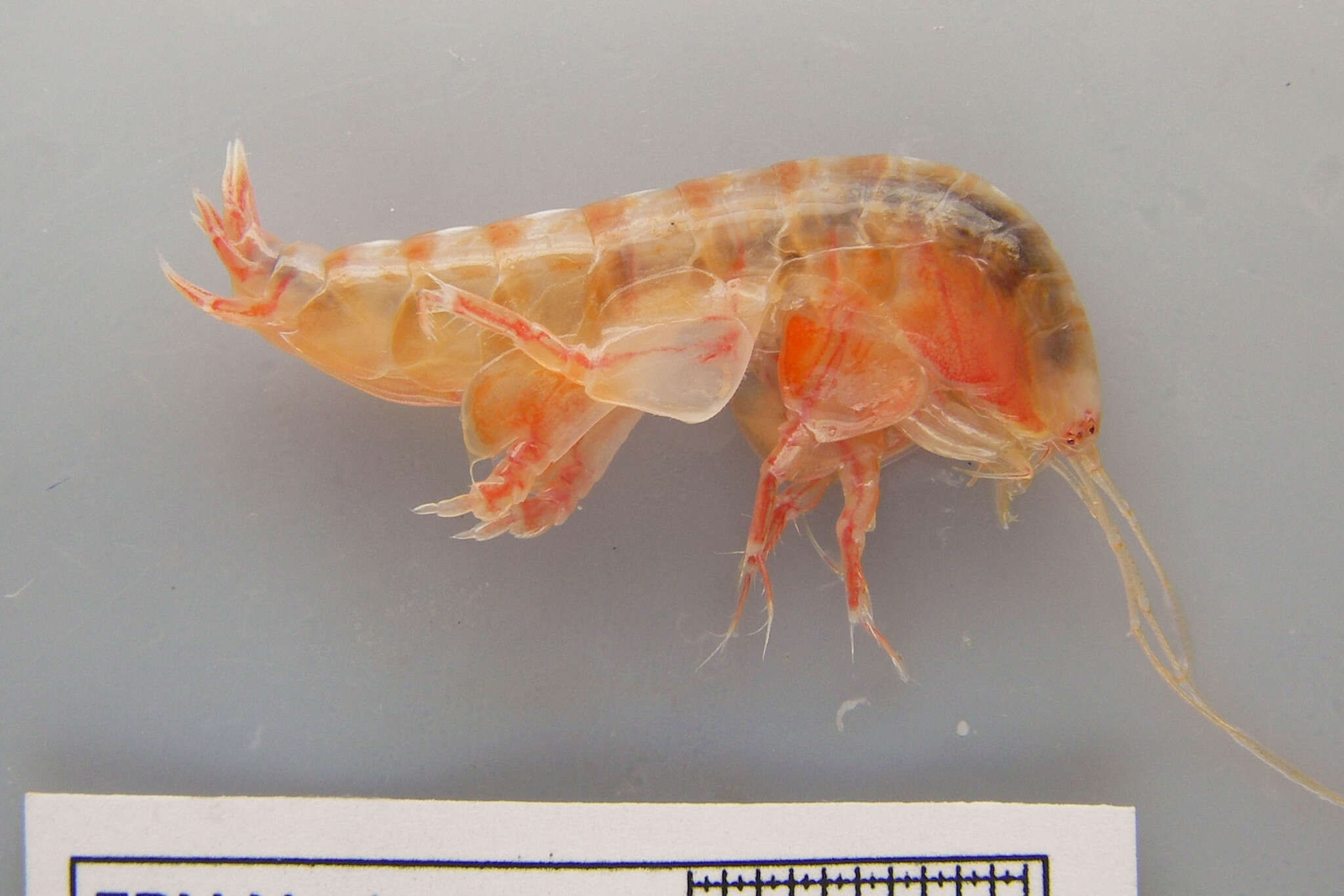
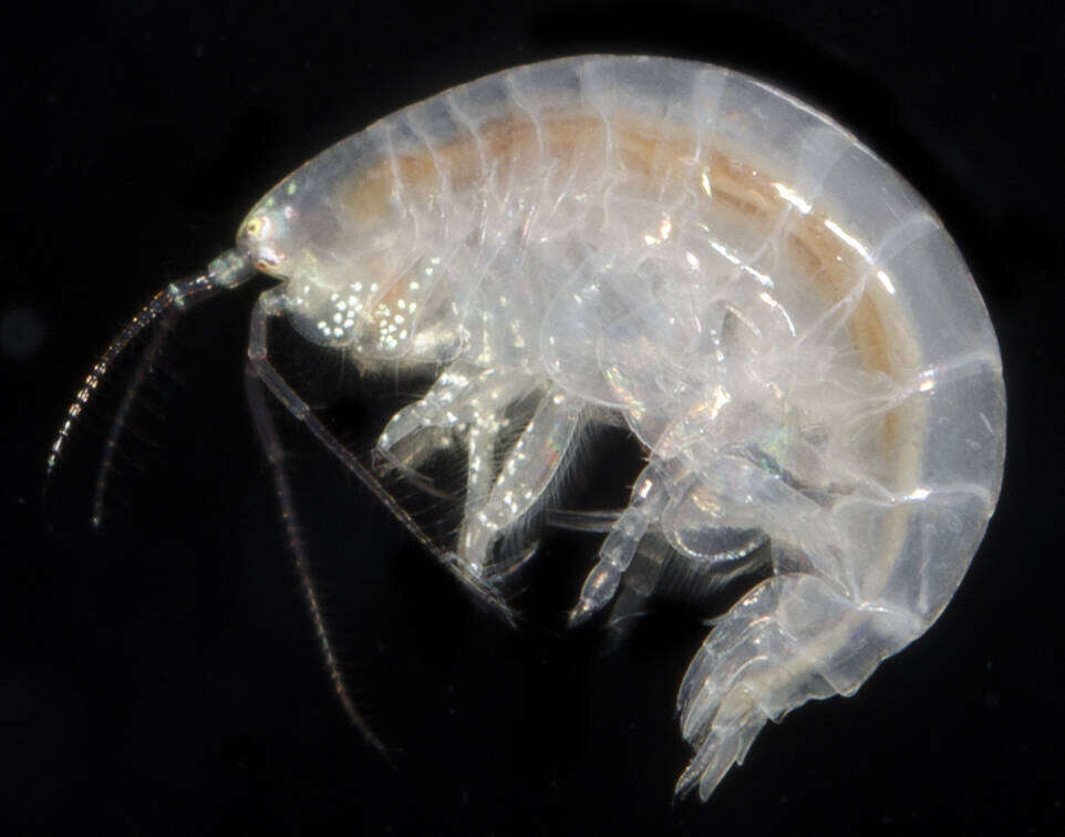
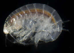
Eyes Under Puget SoundThis species image was collected from Puget Sound sediments and photographed by the Washington State Department of Ecologys Marine Sediment Monitoring Team. For more information about this teams work visit: ecology.wa.gov/Water-Shorelines/Puget-Sound/Sound-science...Cant get enough benthos? Check out our Eyes Under Puget Sound - Critter of the Month blogs at: ecology.wa.gov/Blog/Search?tag=7&category=2
Washington State Department of Ecology
Flickr Group
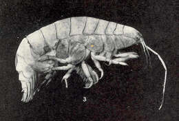
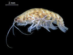
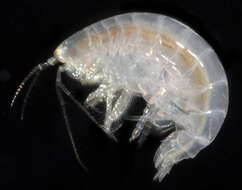
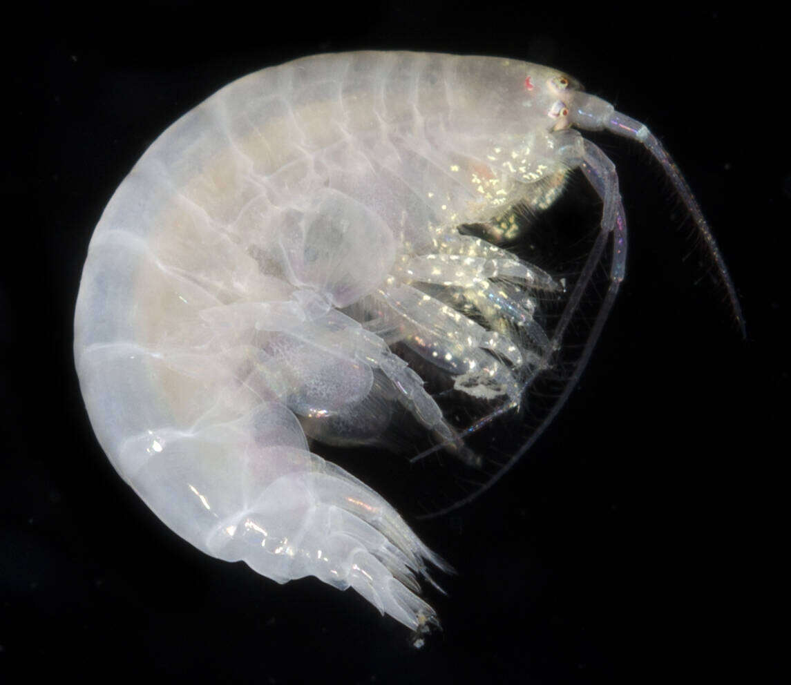
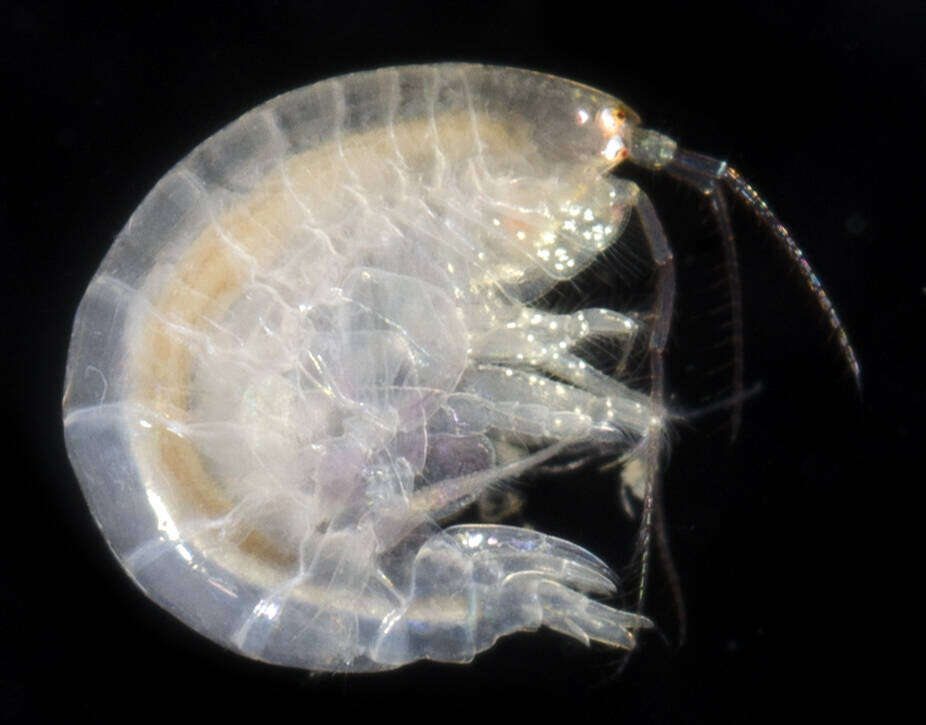
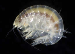
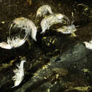
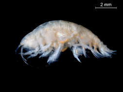
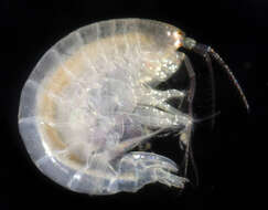
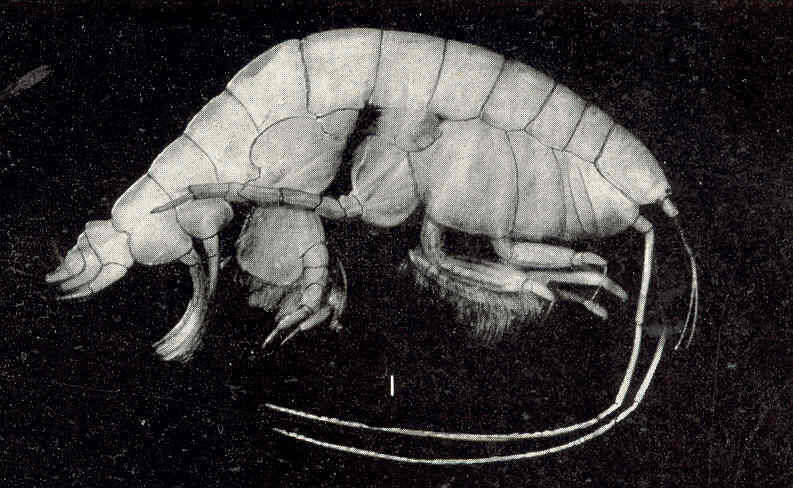
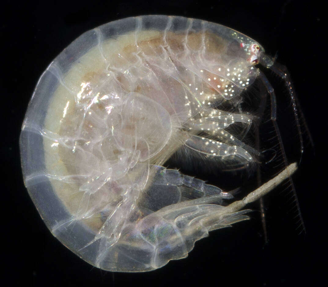
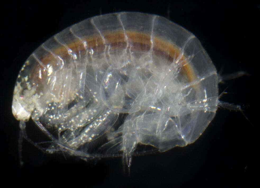
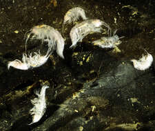
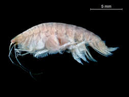
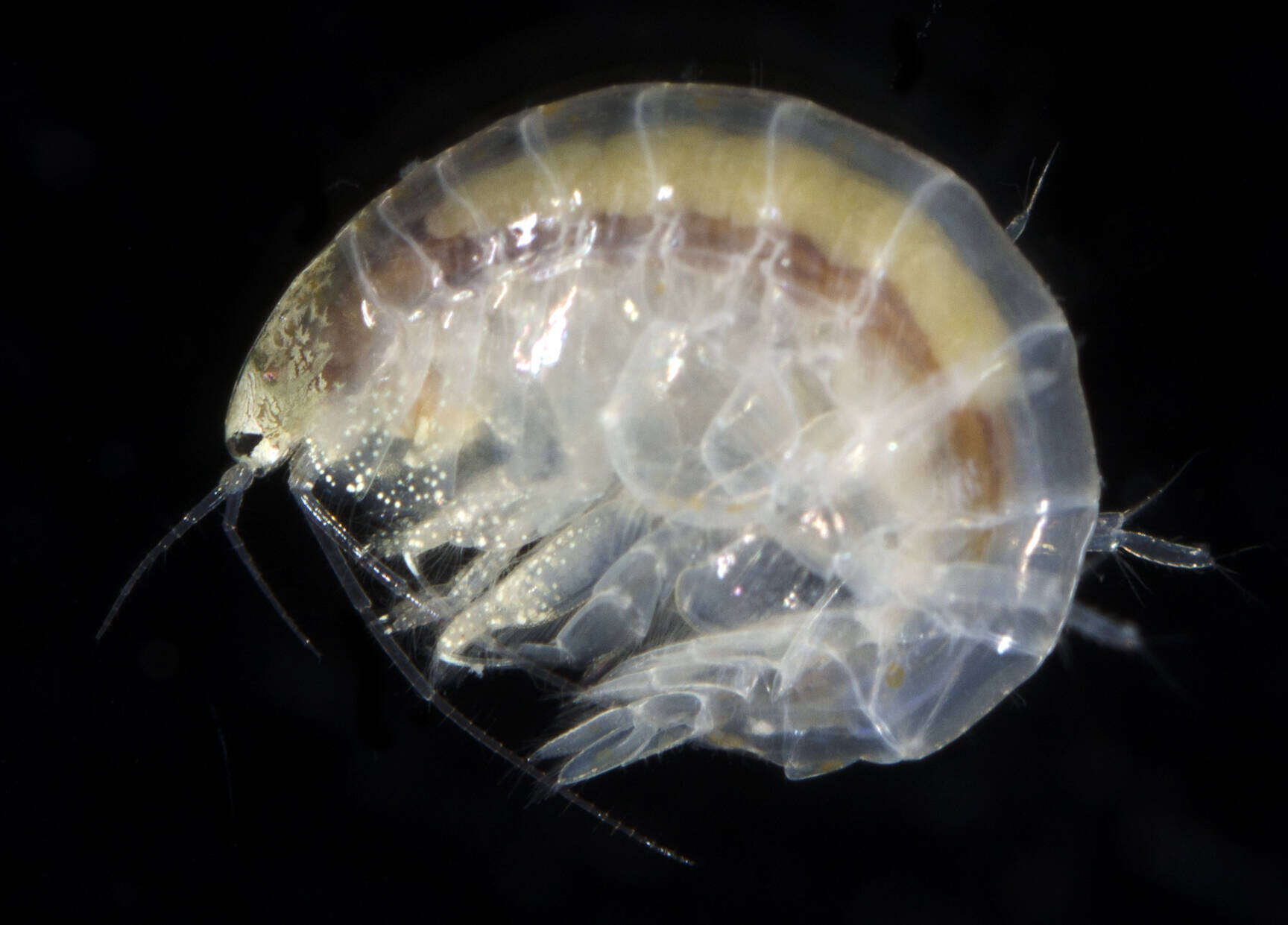
Eyes Under Puget SoundThis species image was collected from Puget Sound sediments and photographed by the Washington State Department of Ecologys Marine Sediment Monitoring Team. For more information about this teams work visit: ecology.wa.gov/Water-Shorelines/Puget-Sound/Sound-science...Cant get enough benthos? Check out our Eyes Under Puget Sound - Critter of the Month blogs at: ecology.wa.gov/Blog/Search?tag=7&category=2
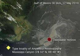
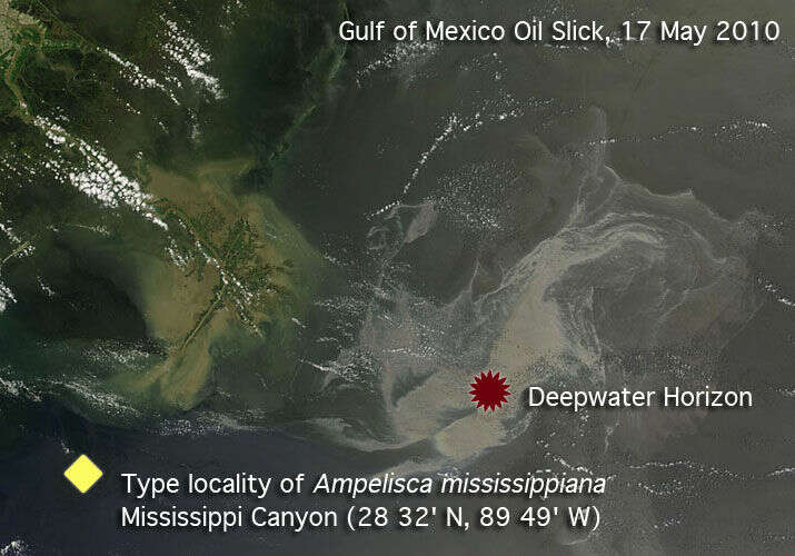
The type locality of Ampelisca mississippiana, near the Deepwater Horizon incident site in the Gulf of MexicoNASA satellite image of the Gulf of Mexico Oil slick acquired May 17, 2010 at 16:40 UTC. Note the location of the type locality of Ampelisca mississippiana in Mississippi Canyon (28 32' N, 89 49' W), near the western edge of the slick.Modified from: Flickr: Oil Slick in the Gulf of Mexico May 17th View [Close Up] (NASA Goddard Space Flight Center)