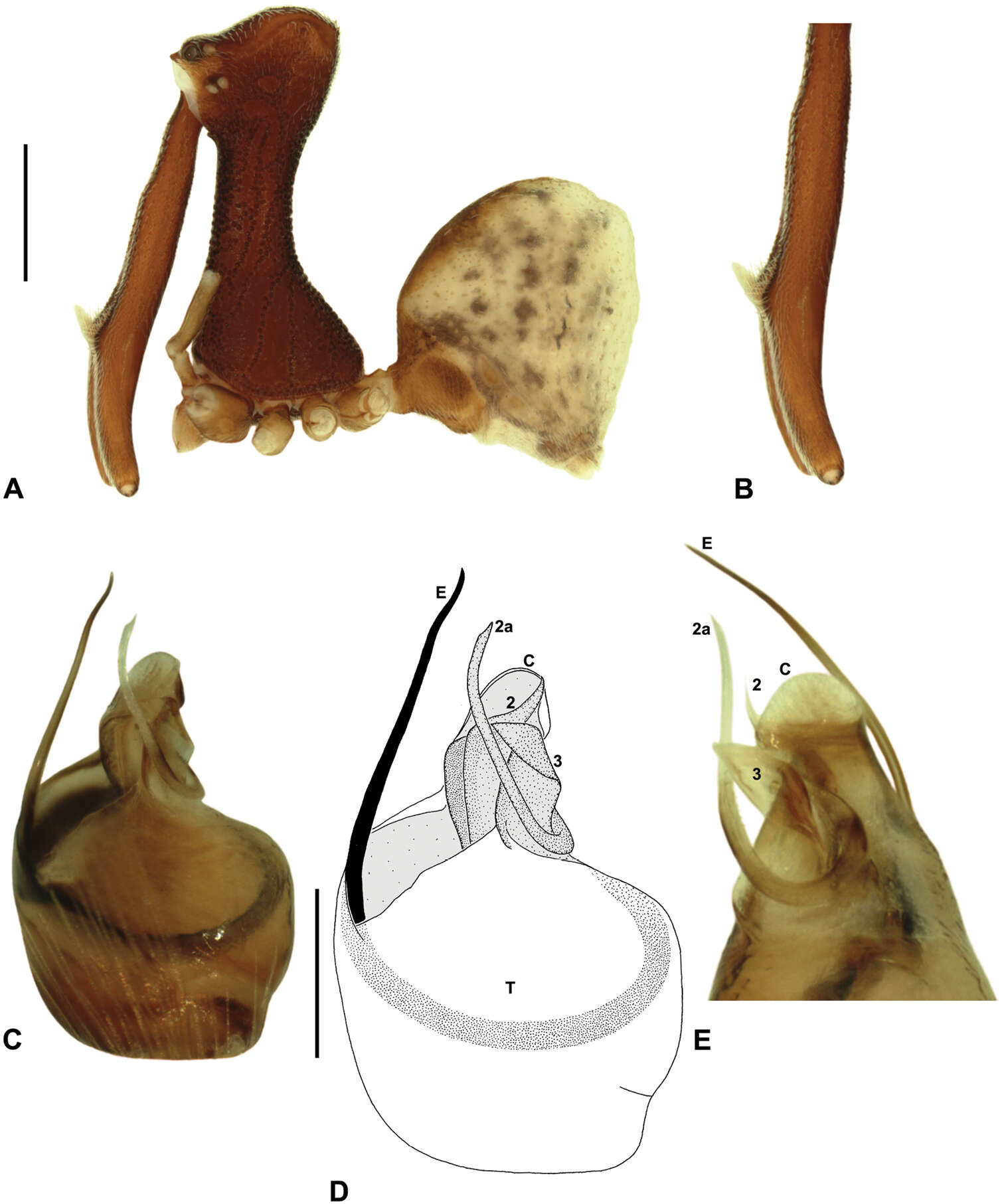
Figure 13.Austrarchaea woodae sp. n. A–E, Holotype male (QMB S72988) from Boulder Caves, Mount Bartle Frere, Wooroonooran National Park, NE. Queensland: A, cephalothorax and abdomen, lateral view; B, chelicerae, lateral view, showing accessory setae; C–D, pedipalpal bulb, ventral view; E, detail of distal tegular sclerites, retrolateral view. C = conductor; E = embolus; T = tegulum; (TS)2-3 = tegular sclerites 2-3. Scale bars: A = 1.0 mm; D = 0.2 mm.
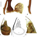
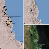
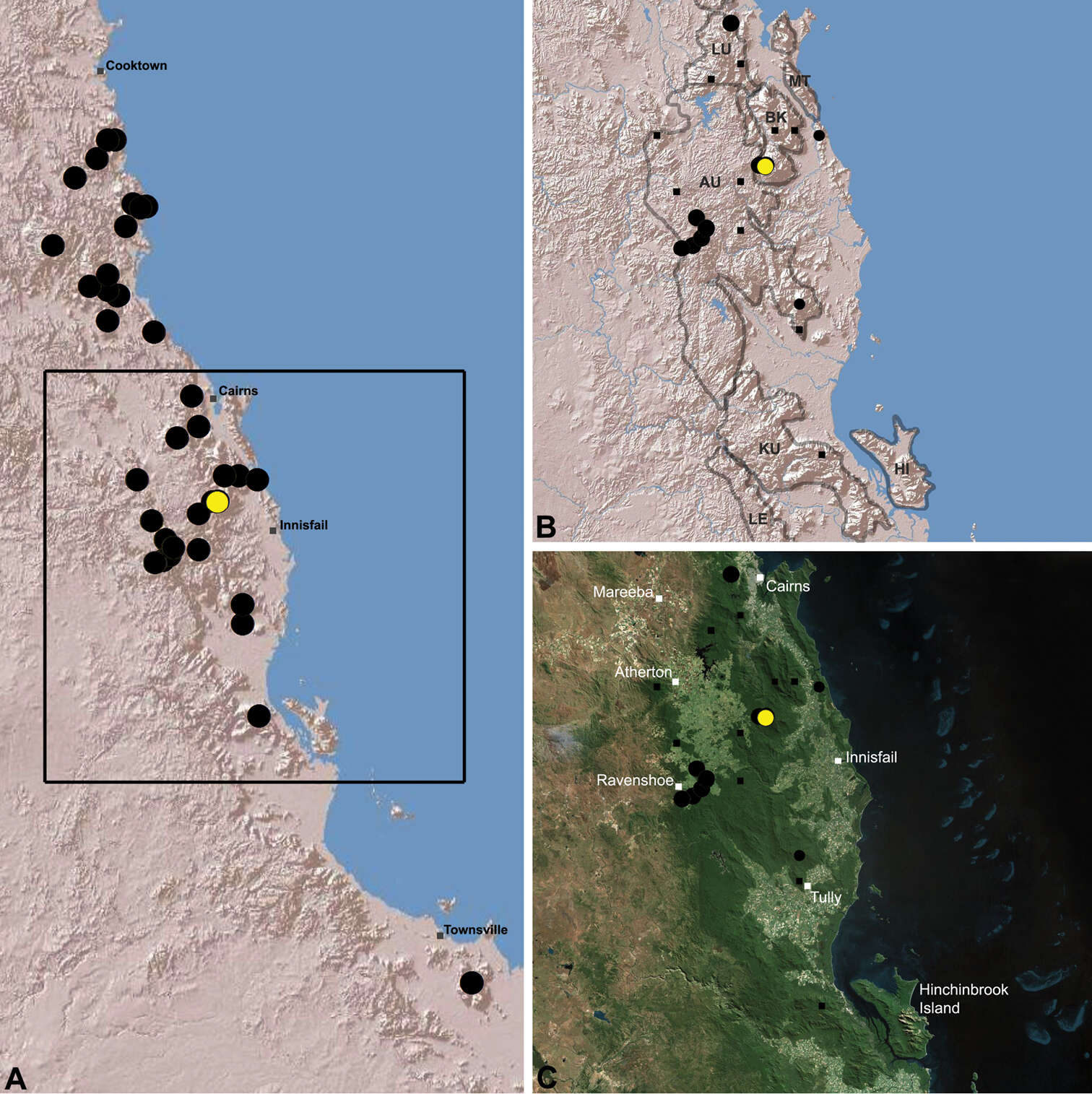
Figure 22.Distribution of Austrarchaea woodae sp. n.: A, topographic map showing the known distribution of Archaeidae in the north-eastern Queensland Wet Tropics bioregion, with collection localities for Austrarchaea woodae highlighted in yellow; B–C, topographic and satellite maps showing detail of inset (A). Labelled boundaries in (B) denote upland subregional zones of faunal endemism identified by Winter et al. (1984), Williams et al. (1996) and other authors for the central Wet Tropics (modified from Edward 2011). Small squares in (B–C) denote unidentified juvenile specimens; small circles denote unidentified female specimens; large circles denote described species of Austrarchaea. AU = Atherton Uplands; BK = Bellenden Ker/Bartle Frere; HI = Hinchinbrook Island; KU = Kirrama Uplands; LE = Lee Uplands; LU = Lamb Uplands; MT = Malbon-Thompson Uplands.
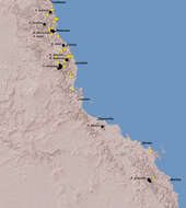
Figure 25. Summary distribution of the Austrarchaea daviesae species-group in tropical north-eastern Queensland, showing collections records for described species (labelled, with black circles) and unidentified juveniles or females (yellow circles) (see Table 1). Note the high proportion of unidentified specimens, especially within the Wet Tropics bioregion between Cooktown and Ingham.