No machine-readable author provided. Pt assumed (based on copyright claims).
Wikimedia Commons
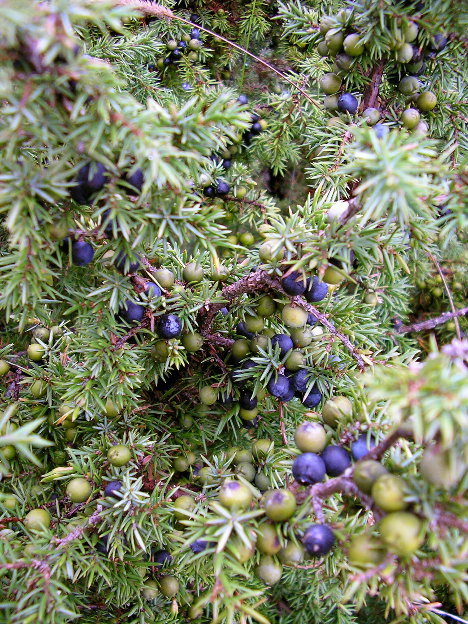
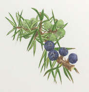
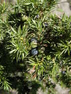
Description: Juniperus communis (see also en:) with both ripe and yet unripe cones at Valjala hill fort, Saaremaa, Estonia on 11 August 2005. Date: 11 August 2005 (according to Exif data). Source: No machine-readable source provided. Own work assumed (based on copyright claims). Author: No machine-readable author provided. Pt assumed (based on copyright claims).
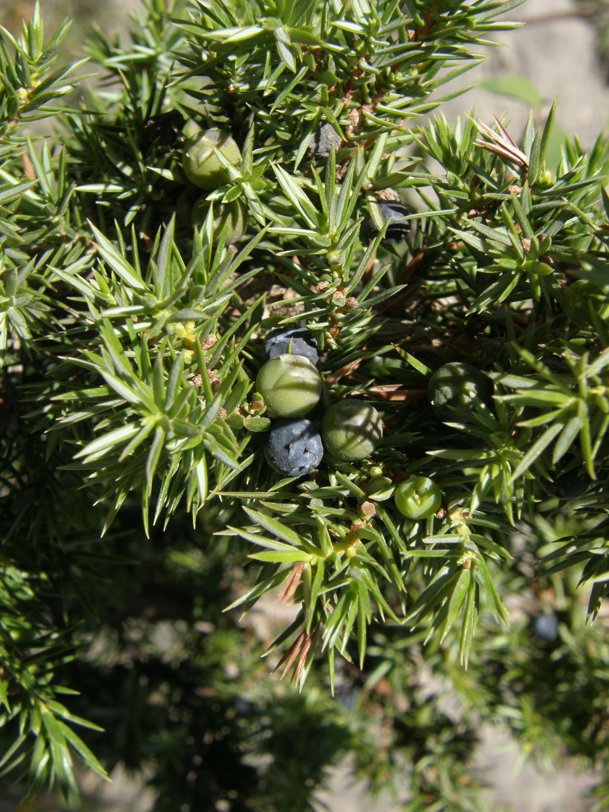
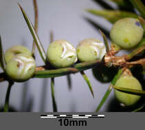
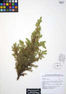
Description: Deutsch: Unreife Beerenzapfen Taxonym: Juniperus communis subsp. communis ss Fischer et al. EfÖLS 2008 ISBN 978-3-85474-187-9 Fundort: Burgstall bei Haslach, Bezirk Hollabrunn, Niederösterreich - ca. 330 m ü. A. Standort: zunehmend verbuschender Halbtrockenrasen English: Unripe female cones Taxonym: Juniperus communis subsp. communis ss Fischer et al. EfÖLS 2008 ISBN 978-3-85474-187-9 Location: Burgstall near Haslach, district Hollabrunn, Lower Austria - ca. 330 m a.s.l. Habitat: semi-dry grassland. Date: 13 February 2022, 20:11:55. Source: Own work. Author: Stefan.lefnaer.
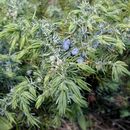
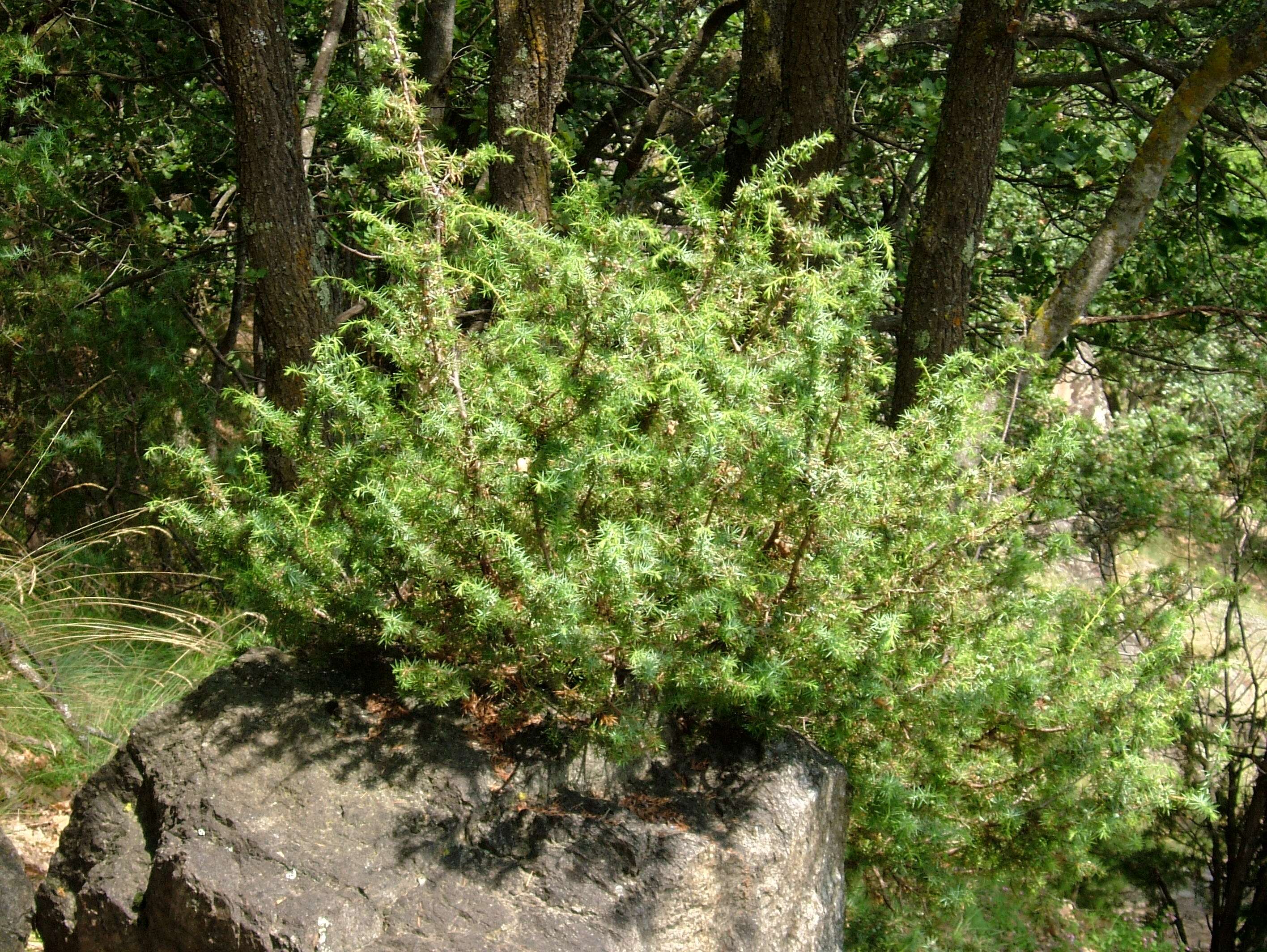
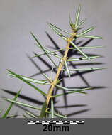
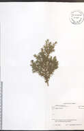
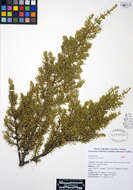
Description: Deutsch: Zweig Taxonym: Juniperus communis subsp. communis ss Fischer et al. EfÖLS 2008 ISBN 978-3-85474-187-9 Fundort: nächst dem Würfelberg bei Bergau, Bezirk Hollabrunn, Niederösterreich - ca. 300 m ü. A. Standort: Waldrand English: Branch Taxonym: Juniperus communis subsp. communis ss Fischer et al. EfÖLS 2008 ISBN 978-3-85474-187-9 Location: nect to Würfelberg near Bergau, district Hollabrunn, Lower Austria - ca. 300 m a.s.l. Habitat: border of a wood. Date: 6 February 2022, 19:57:44. Source: Own work. Author: Stefan.lefnaer.
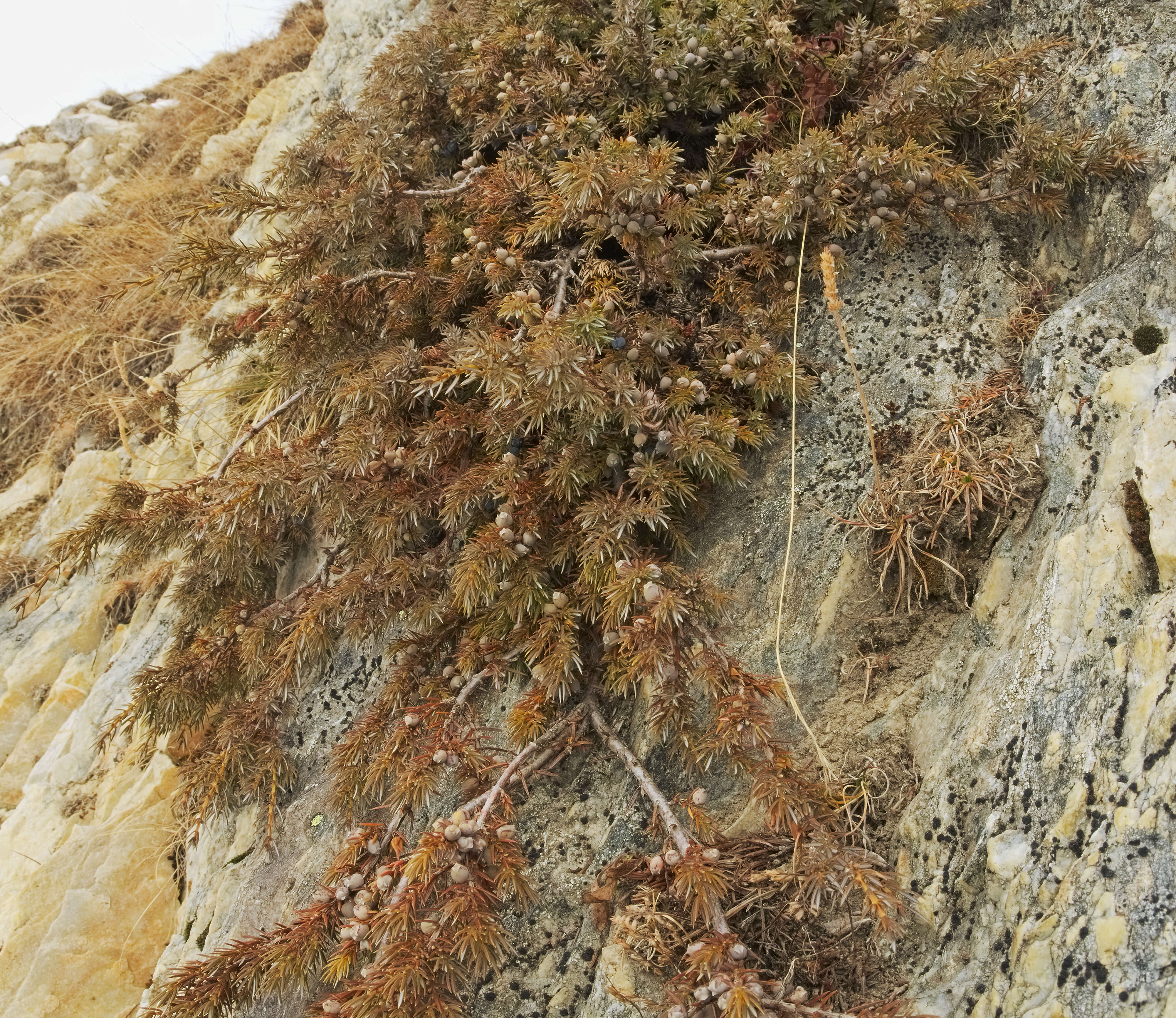
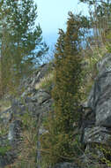
Description: Deutsch: Paradiski, Alpen-Wacholder - Juniperus communis saxatilis. Aufgenommen in La Plagne, Champagny-en-Vanoise, Wanderweg nach Champagny le Haut, Savoie, Frankreich. English: Paradiski, Juniperus communis saxatilis. Taken in La Plagne, Champagny-en-Vanoise, hiking trail to Champagny le Haut, Savoie, France. Date: 27 January 2017. Source: Own work. Author: Andreas Eichler. Other versions: . Camera location45° 28′ 28.65″ N, 6° 42′ 22.91″ EView all coordinates using: OpenStreetMap 45.474624; 6.706365.
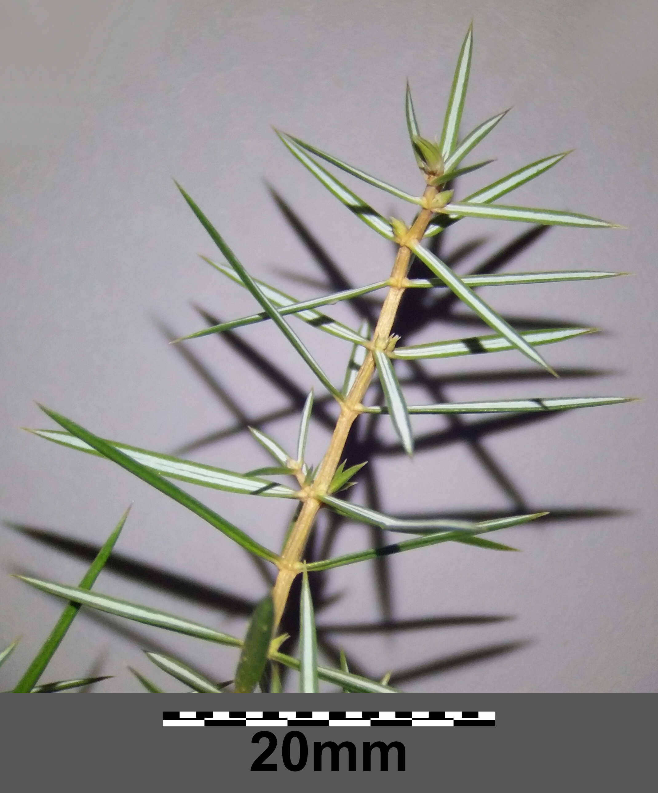
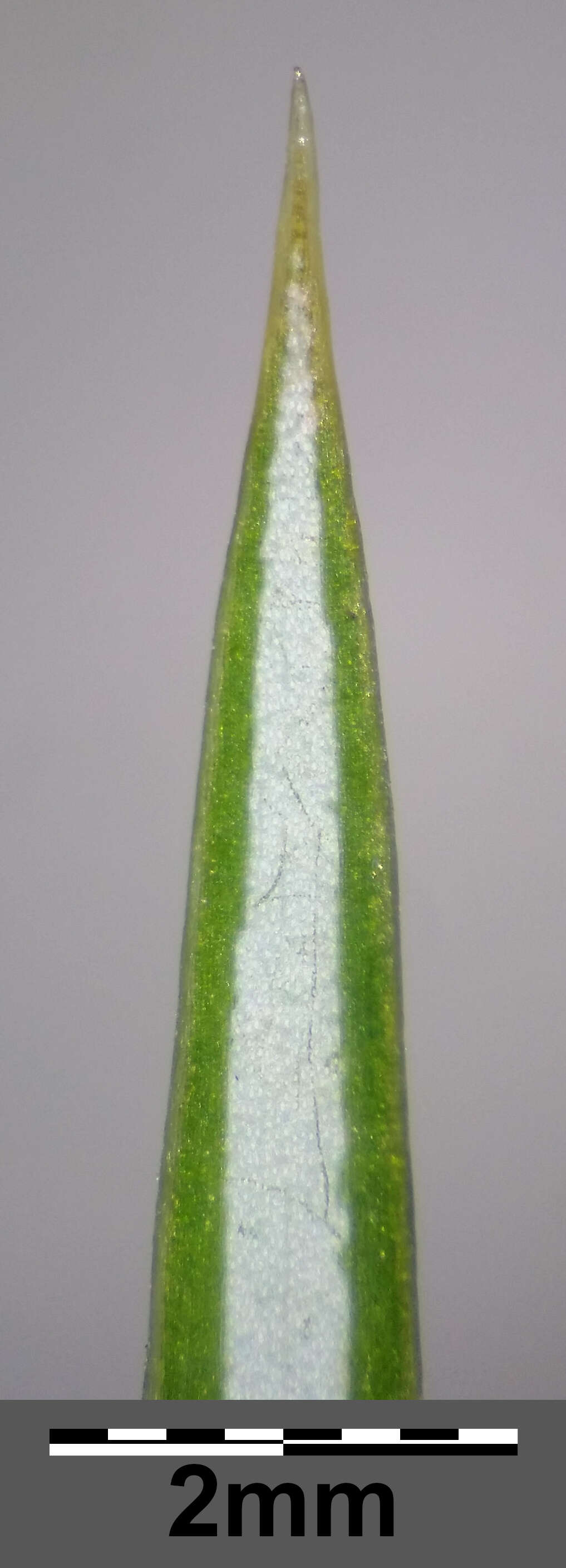
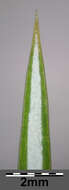
Description: Deutsch: Laubblatt-Spitze (Unterseite) Taxonym: Juniperus communis subsp. communis ss Fischer et al. EfÖLS 2008 ISBN 978-3-85474-187-9 Fundort: nächst dem Würfelberg bei Bergau, Bezirk Hollabrunn, Niederösterreich - ca. 300 m ü. A. Standort: Waldrand English: Apex of leaf (bottom side) Taxonym: Juniperus communis subsp. communis ss Fischer et al. EfÖLS 2008 ISBN 978-3-85474-187-9 Location: nect to Würfelberg near Bergau, district Hollabrunn, Lower Austria - ca. 300 m a.s.l. Habitat: border of a wood. Date: 6 February 2022, 20:11:02. Source: Own work. Author: Stefan.lefnaer.
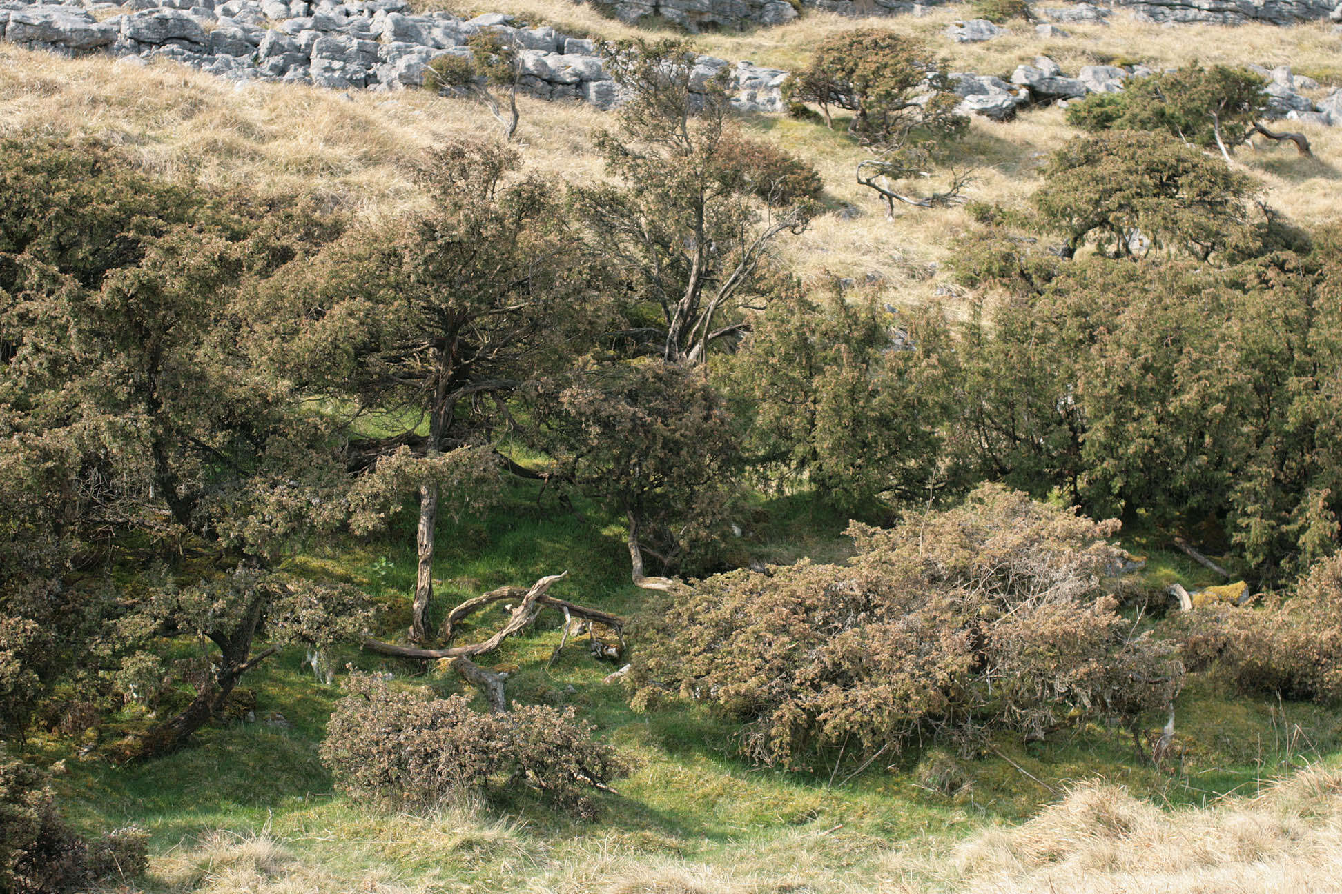
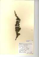
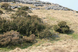
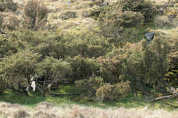
Longitude (deg): -2.3. Latitude (deg): 54.1. Longitude (deg/min): 2° 20' W. Latitude (deg/min): 54° 10' N. Vice county name: Mid-west Yorks. Vice county no.: 64. Country: England. Identified by: Malcolm Storey. Comment: Trees near limestone pavement. Category: standard photograph or close-up. Where photo was taken: In situ. Photographic equipment used: Canon EOS400D dSLR + Sigma 50mm 1:1 macro lens.
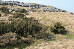
Longitude (deg): -2.3. Latitude (deg): 54.1. Longitude (deg/min): 2° 20' W. Latitude (deg/min): 54° 10' N. Vice county name: Mid-west Yorks. Vice county no.: 64. Country: England. Identified by: Malcolm Storey. Comment: Trees near limestone pavement. Category: standard photograph or close-up. Where photo was taken: In situ. Photographic equipment used: Canon EOS400D dSLR + Sigma 50mm 1:1 macro lens.
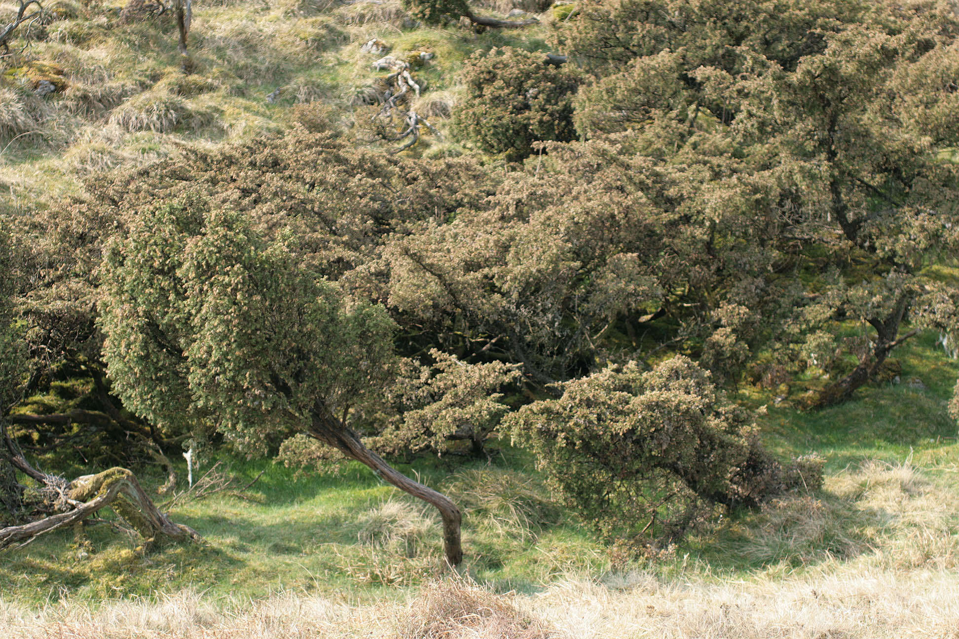
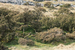
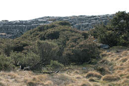
Longitude (deg): -2.3. Latitude (deg): 54.1. Longitude (deg/min): 2° 20' W. Latitude (deg/min): 54° 10' N. Vice county name: Mid-west Yorks. Vice county no.: 64. Country: England. Identified by: Malcolm Storey. Comment: Trees near limestone pavement. Category: standard photograph or close-up. Where photo was taken: In situ. Photographic equipment used: Canon EOS400D dSLR + Sigma 50mm 1:1 macro lens.
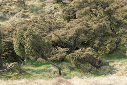
Longitude (deg): -2.3. Latitude (deg): 54.1. Longitude (deg/min): 2° 20' W. Latitude (deg/min): 54° 10' N. Vice county name: Mid-west Yorks. Vice county no.: 64. Country: England. Identified by: Malcolm Storey. Comment: Trees near limestone pavement. Category: standard photograph or close-up. Where photo was taken: In situ. Photographic equipment used: Canon EOS400D dSLR + Sigma 50mm 1:1 macro lens.
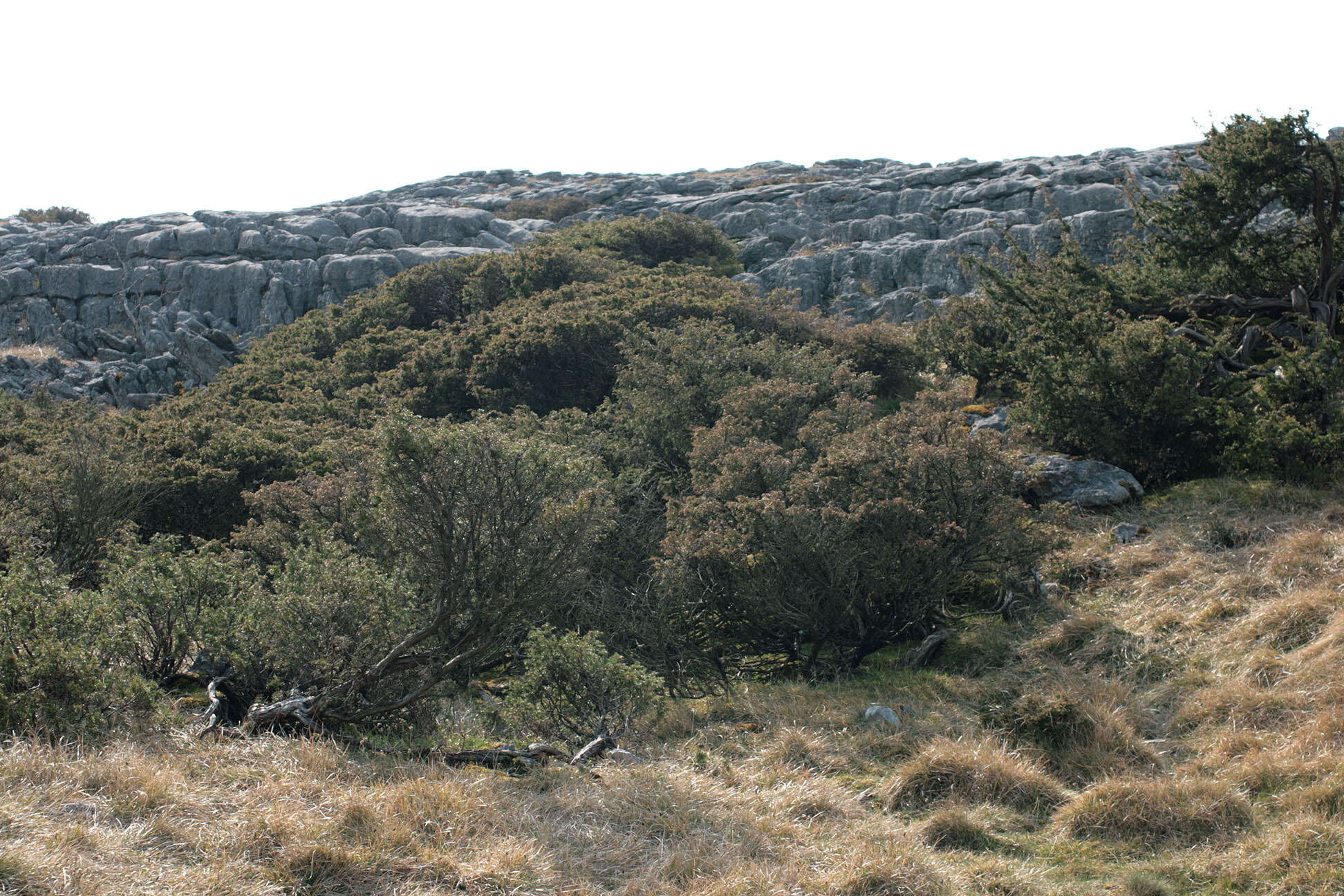
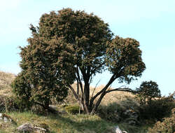
Longitude (deg): -2.3. Latitude (deg): 54.1. Longitude (deg/min): 2° 20' W. Latitude (deg/min): 54° 10' N. Vice county name: Mid-west Yorks. Vice county no.: 64. Country: England. Identified by: Malcolm Storey. Comment: Trees near limestone pavement. Category: standard photograph or close-up. Where photo was taken: In situ. Photographic equipment used: Canon EOS400D dSLR + Sigma 50mm 1:1 macro lens.
Longitude (deg): -2.3. Latitude (deg): 54.1. Longitude (deg/min): 2° 20' W. Latitude (deg/min): 54° 10' N. Vice county name: Mid-west Yorks. Vice county no.: 64. Country: England. Identified by: Malcolm Storey. Comment: Trees near limestone pavement. Category: standard photograph or close-up. Where photo was taken: In situ. Photographic equipment used: Canon EOS400D dSLR + Sigma 50mm 1:1 macro lens.
Longitude (deg): -2.3. Latitude (deg): 54.1. Longitude (deg/min): 2° 20' W. Latitude (deg/min): 54° 10' N. Vice county name: Mid-west Yorks. Vice county no.: 64. Country: England. Identified by: Malcolm Storey. Comment: Trees near limestone pavement. Category: standard photograph or close-up. Where photo was taken: In situ. Photographic equipment used: Canon EOS400D dSLR + Sigma 50mm 1:1 macro lens.


