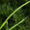
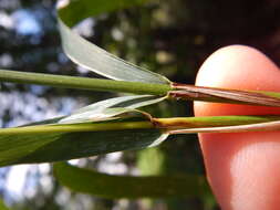
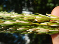
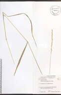
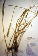
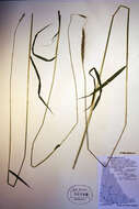
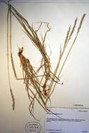
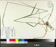
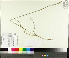
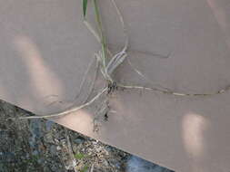
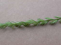
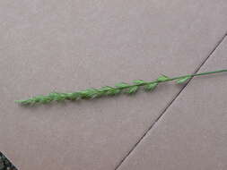
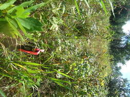
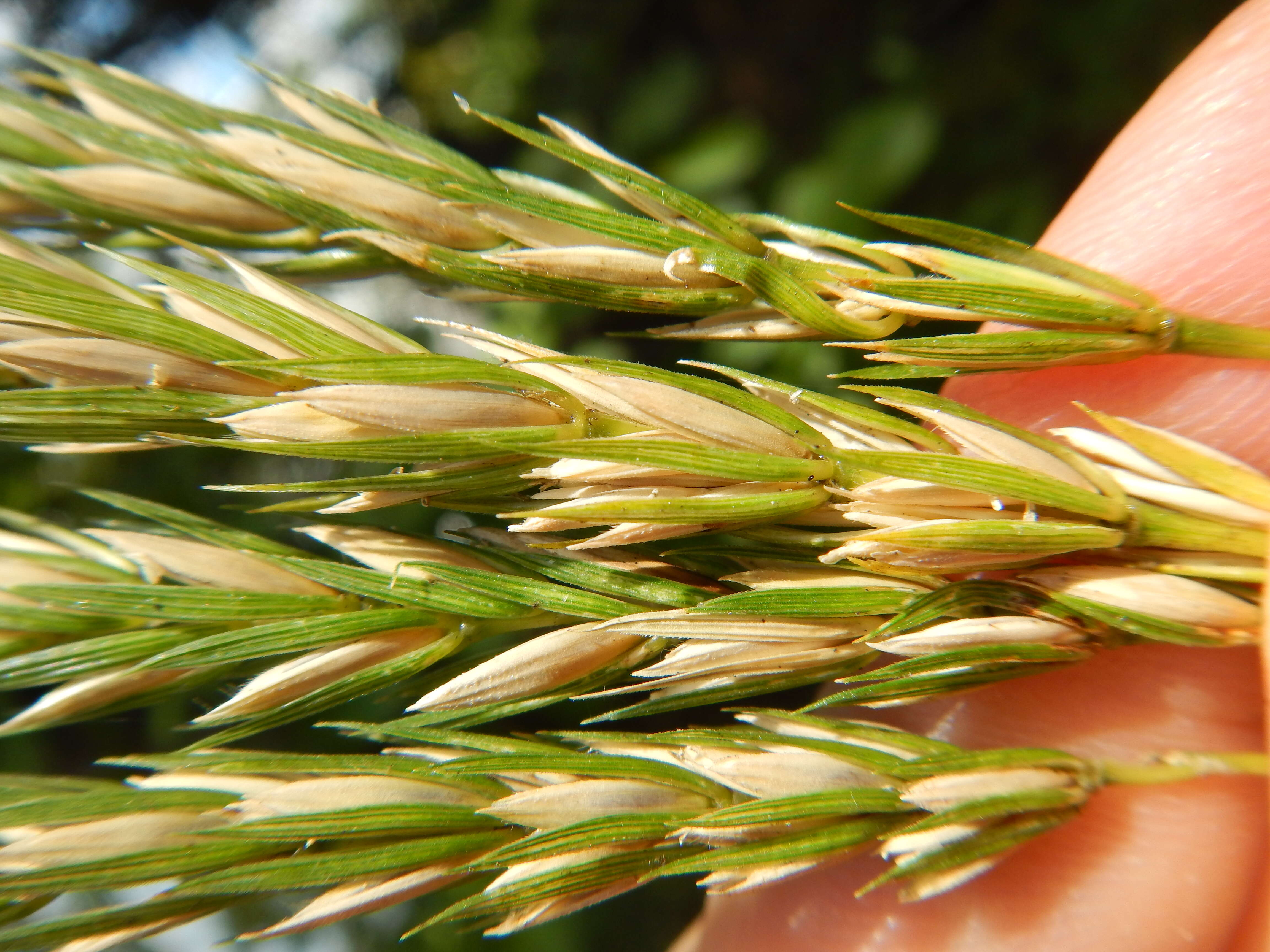
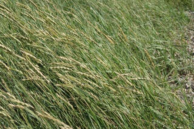
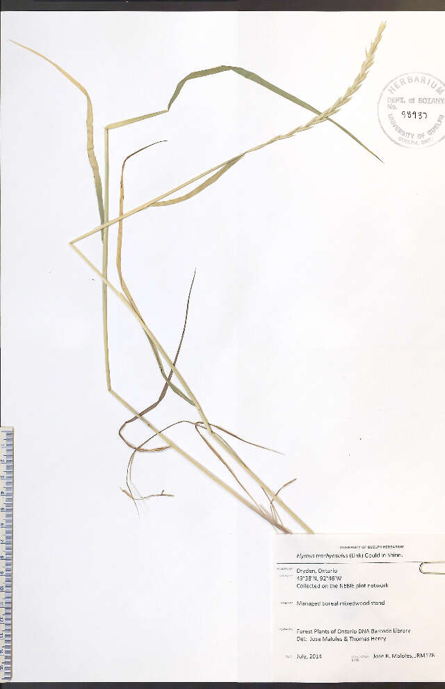
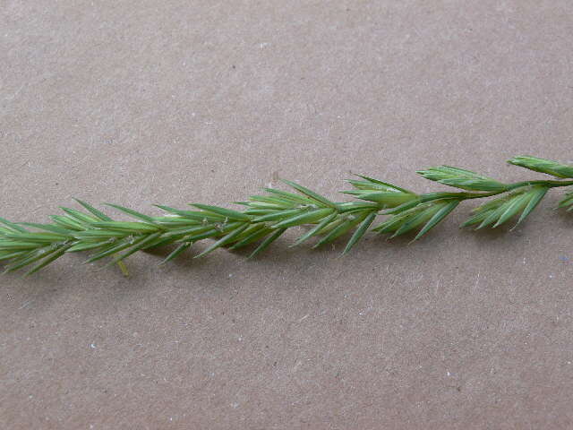
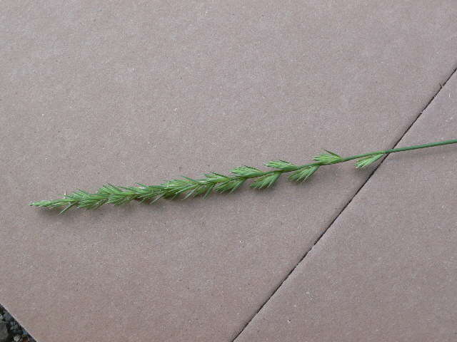
Description: More common in lower elevations of Montana, this is the only known occurrence of this grass in Gallatin County. Virginia wildrye is very similar to Elymus glaucus. However, Virginia wildrye occurs in disturbed areas of low elevations (such as this trail side population occuring in the town of Bozeman and coexisting with Solanum dulcamara and other weedy species) and has glumes with basal portions that are widely diverging, lighter in color, and boney-tectured. Blue wildrye (Elymus glaucus) occurs in montane meadows and grassy understory and has glumes with bases that are not divergent and green like the rest of the distal portion of the glumes. The leaves are also sufficiently broad such that they tear longitudinally over the full length. Date: 30 August 2015, 13:12. Source: Elymus virginicus. Author: Matt Lavin from Bozeman, Montana, USA. Camera location45° 38′ 51.71″ N, 111° 02′ 19.24″ WView all coordinates using: OpenStreetMap - Google Earth 45.647697; -111.038678.
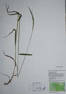
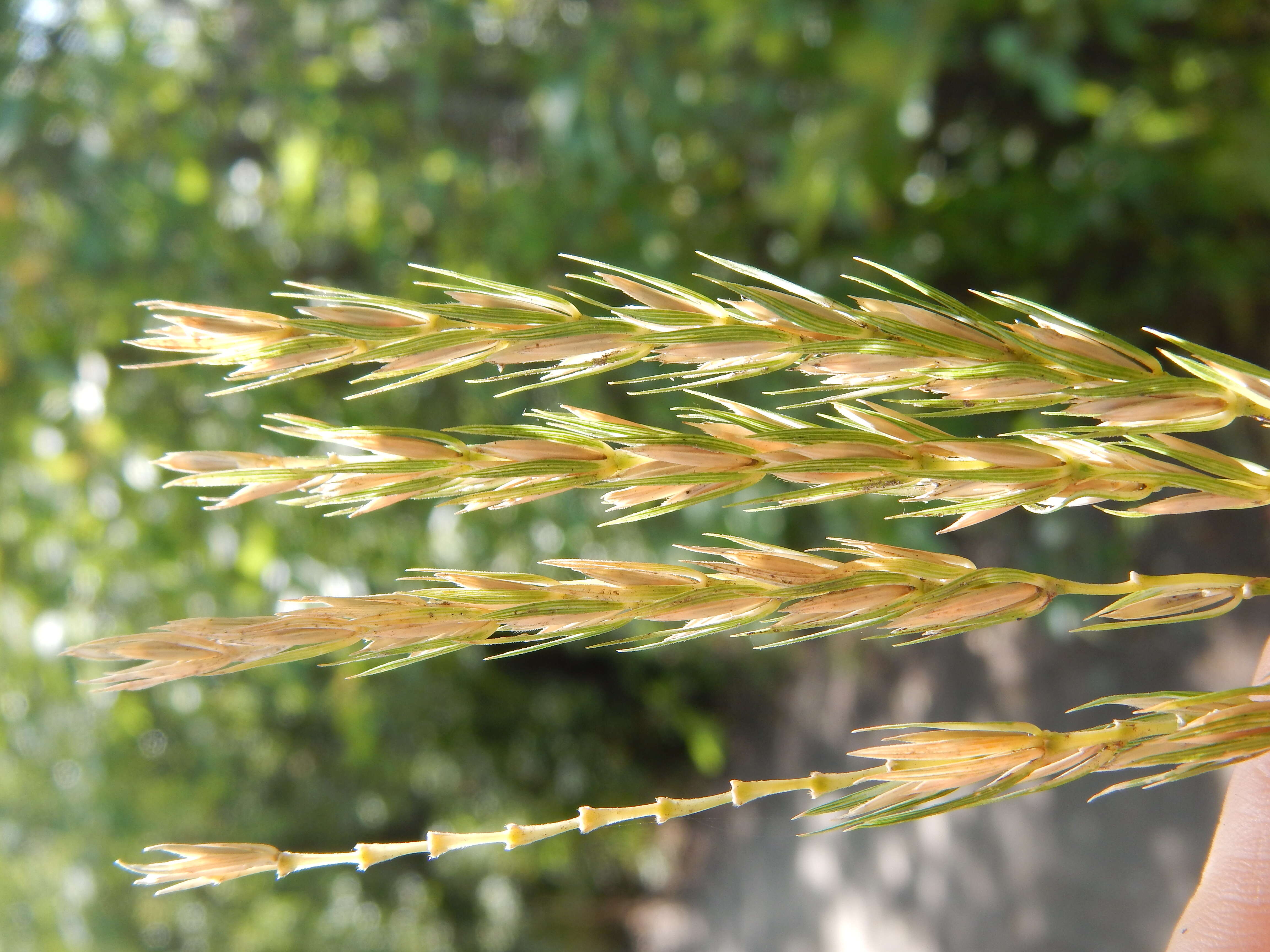
Description: More common in lower elevations of Montana, this is the only known occurrence of this grass in Gallatin County. Virginia wildrye is very similar to Elymus glaucus. However, Virginia wildrye occurs in disturbed areas of low elevations (such as this trail side population occuring in the town of Bozeman and coexisting with Solanum dulcamara and other weedy species) and has glumes with basal portions that are widely diverging, lighter in color, and boney-tectured. Blue wildrye (Elymus glaucus) occurs in montane meadows and grassy understory and has glumes with bases that are not divergent and green like the rest of the distal portion of the glumes. The leaves are also sufficiently broad such that they tear longitudinally over the full length. Date: 30 August 2015, 13:10. Source: Elymus virginicus. Author: Matt Lavin from Bozeman, Montana, USA. Camera location45° 38′ 51.71″ N, 111° 02′ 19.24″ WView all coordinates using: OpenStreetMap - Google Earth 45.647697; -111.038678.
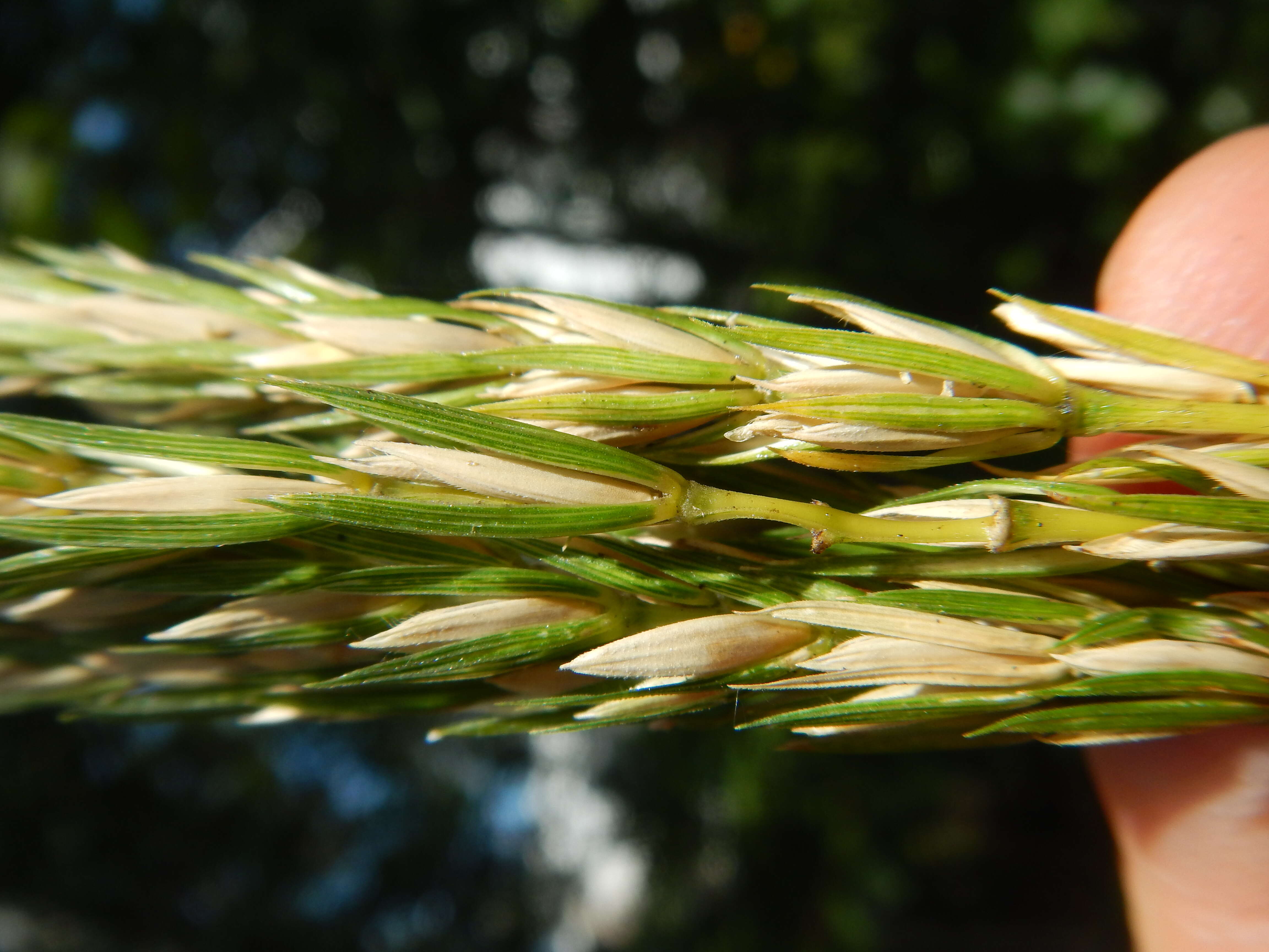
Description: More common in lower elevations of Montana, this is the only known occurrence of this grass in Gallatin County. Virginia wildrye is very similar to Elymus glaucus. However, Virginia wildrye occurs in disturbed areas of low elevations (such as this trail side population occuring in the town of Bozeman and coexisting with Solanum dulcamara and other weedy species) and has glumes with basal portions that are widely diverging, lighter in color, and boney-tectured. Blue wildrye (Elymus glaucus) occurs in montane meadows and grassy understory and has glumes with bases that are not divergent and green like the rest of the distal portion of the glumes. The leaves are also sufficiently broad such that they tear longitudinally over the full length. Date: 30 August 2015, 13:22. Source: Elymus virginicus. Author: Matt Lavin from Bozeman, Montana, USA. Camera location45° 38′ 53.52″ N, 111° 02′ 19.64″ WView all coordinates using: OpenStreetMap 45.648200; -111.038789.
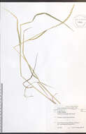
Description: More common in lower elevations of Montana, this is the only known occurrence of this grass in Gallatin County. Virginia wildrye is very similar to Elymus glaucus. However, Virginia wildrye occurs in disturbed areas of low elevations (such as this trail side population occuring in the town of Bozeman and coexisting with Solanum dulcamara and other weedy species) and has glumes with basal portions that are widely diverging, lighter in color, and boney-tectured. Blue wildrye (Elymus glaucus) occurs in montane meadows and grassy understory and has glumes with bases that are not divergent and green like the rest of the distal portion of the glumes. The leaves are also sufficiently broad such that they tear longitudinally over the full length. Date: 30 August 2015, 13:14. Source: Elymus virginicus. Author: Matt Lavin from Bozeman, Montana, USA. Camera location45° 38′ 51.47″ N, 111° 02′ 19.46″ WView all coordinates using: OpenStreetMap - Google Earth 45.647630; -111.038739.
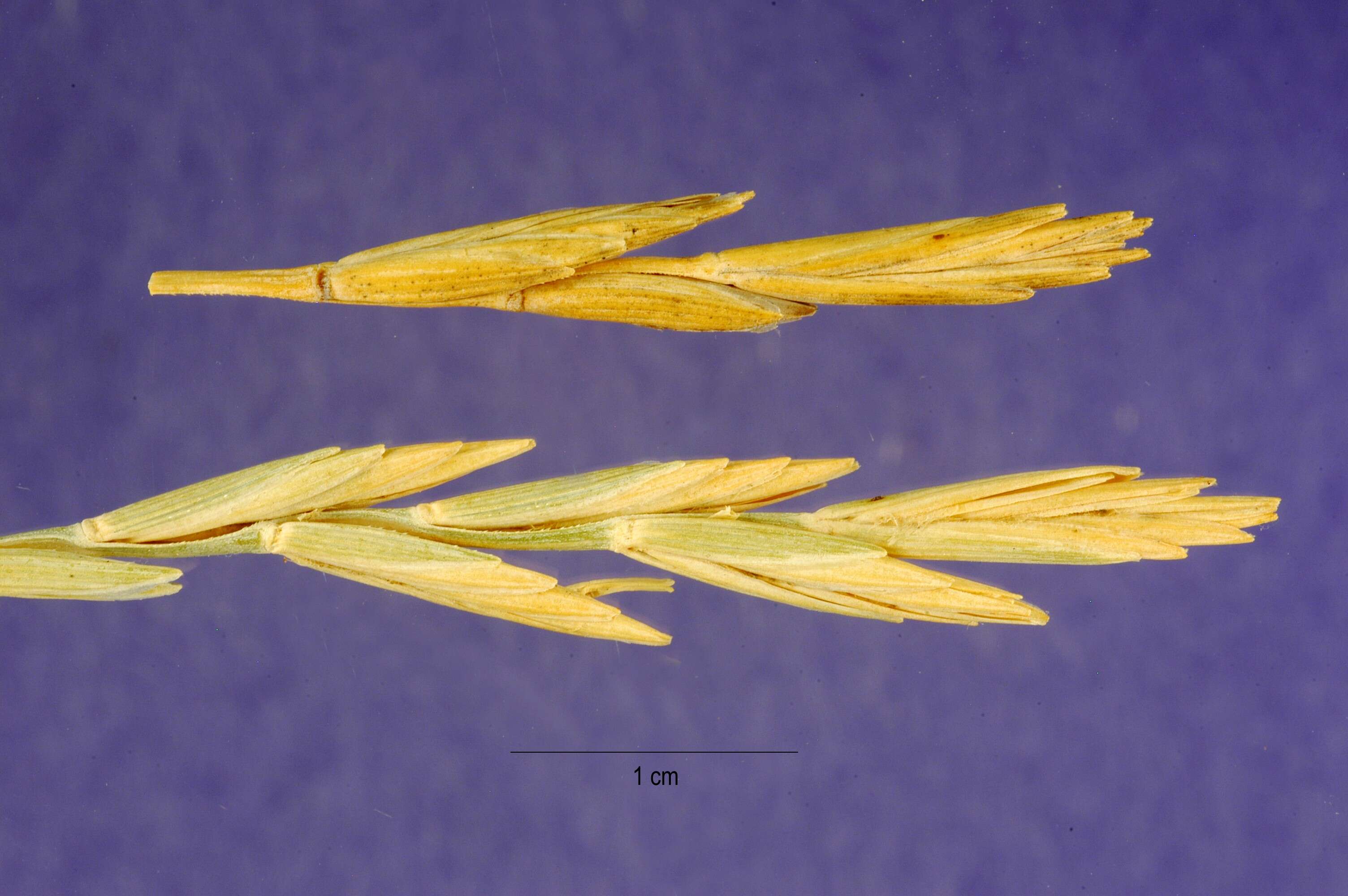
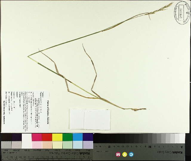
Description: Elytrigia atherica. Source: https://plants.usda.gov/java/largeImage?imageID=agli81_002_ahp.tif. Author: Jose Hernandez, hosted by the USDA-NRCS PLANTS Database.mw-parser-output.license-review-passed{width:100%;margin:0.5em auto;background:#eeffee;padding:5px;border:1px solid #aaaa88}.mw-parser-output.license-review-failed{width:100%;margin:0.5em auto;background:#fee7e5;padding:5px;border:1px solid #aaaa88}.mw-parser-output.license-review-needed{width:100%;margin:0.5em auto;background:#fffff0;padding:5px;border:1px solid #aaaa88} : This file, which was originally posted to https://plants.usda.gov/java/largeImage?imageID=agli81_002_ahp.tif, was reviewed on 28 February 2018 by reviewerLeoboudv, who confirmed that it was available there under the stated license on that date.
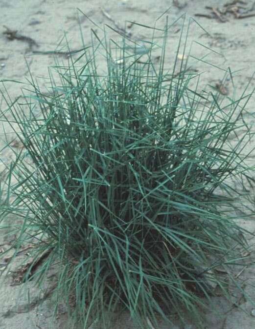
Description: English: A picture of A. pungens. Date: November 0002. Source: https://www.geograph.org.uk/photo/2515883. Author: Robin Stott. Permission(Reusing this file): : This file is licensed under the Creative CommonsAttribution-Share Alike 2.0 Generic license. :. You are free: to share – to copy, distribute and transmit the work to remix – to adapt the work Under the following conditions: attribution – You must give appropriate credit, provide a link to the license, and indicate if changes were made. You may do so in any reasonable manner, but not in any way that suggests the licensor endorses you or your use. share alike – If you remix, transform, or build upon the material, you must distribute your contributions under the same or compatible license as the original. https://creativecommons.org/licenses/by-sa/2.0 CC BY-SA 2.0 Creative Commons Attribution-Share Alike 2.0 truetrue. Attribution(required by the license)Robin Stott / Sea Couch (Agropyron pungens) / CC BY-SA 2.0. Robin Stott / Sea Couch (Agropyron pungens). Camera location51° 33′ 29.21″ N, 2° 40′ 01.52″ WView all coordinates using: OpenStreetMap 51.558113; -2.667089.
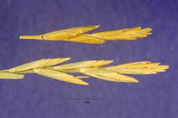
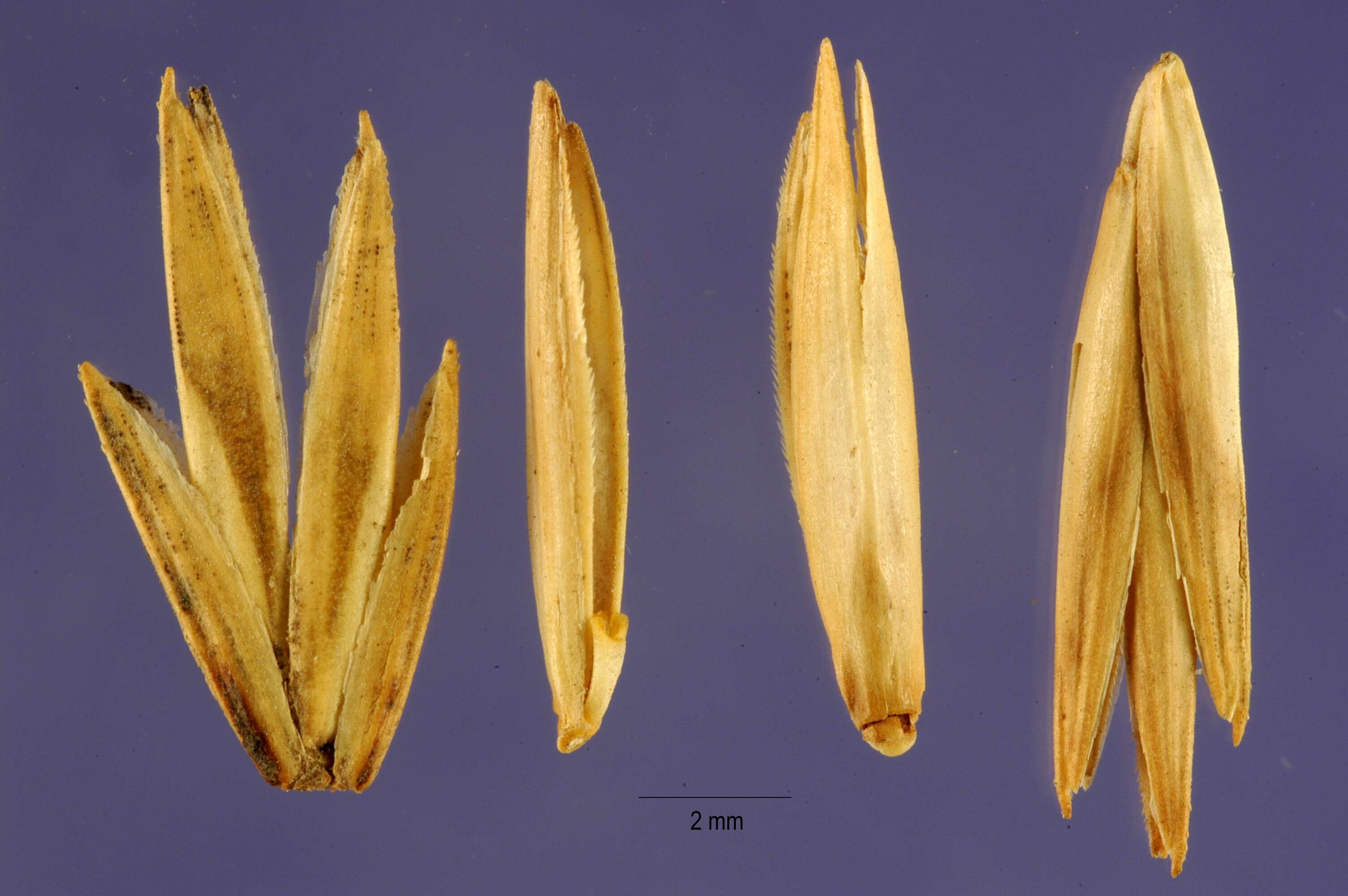
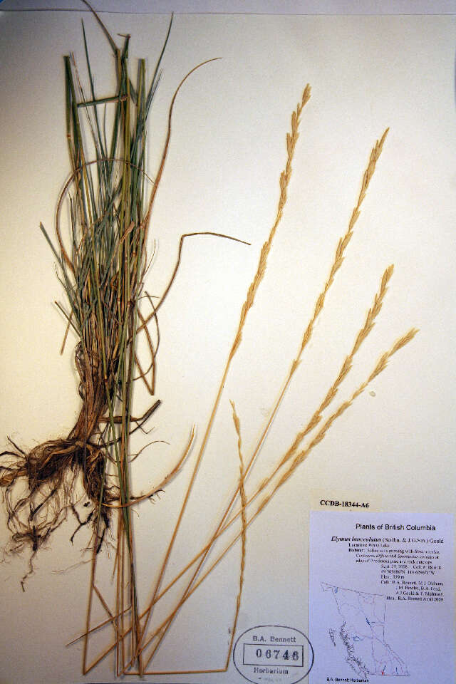
Description: Elytrigia atherica. Source: https://plants.usda.gov/java/largeImage?imageID=agli81_001_ahp.tif. Author: Jose Hernandez, hosted by the USDA-NRCS PLANTS Database.mw-parser-output.license-review-passed{width:100%;margin:0.5em auto;background:#eeffee;padding:5px;border:1px solid #aaaa88}.mw-parser-output.license-review-failed{width:100%;margin:0.5em auto;background:#fee7e5;padding:5px;border:1px solid #aaaa88}.mw-parser-output.license-review-needed{width:100%;margin:0.5em auto;background:#fffff0;padding:5px;border:1px solid #aaaa88} : This file, which was originally posted to https://plants.usda.gov/java/largeImage?imageID=agli81_001_ahp.tif, was reviewed on 28 February 2018 by reviewerLeoboudv, who confirmed that it was available there under the stated license on that date.