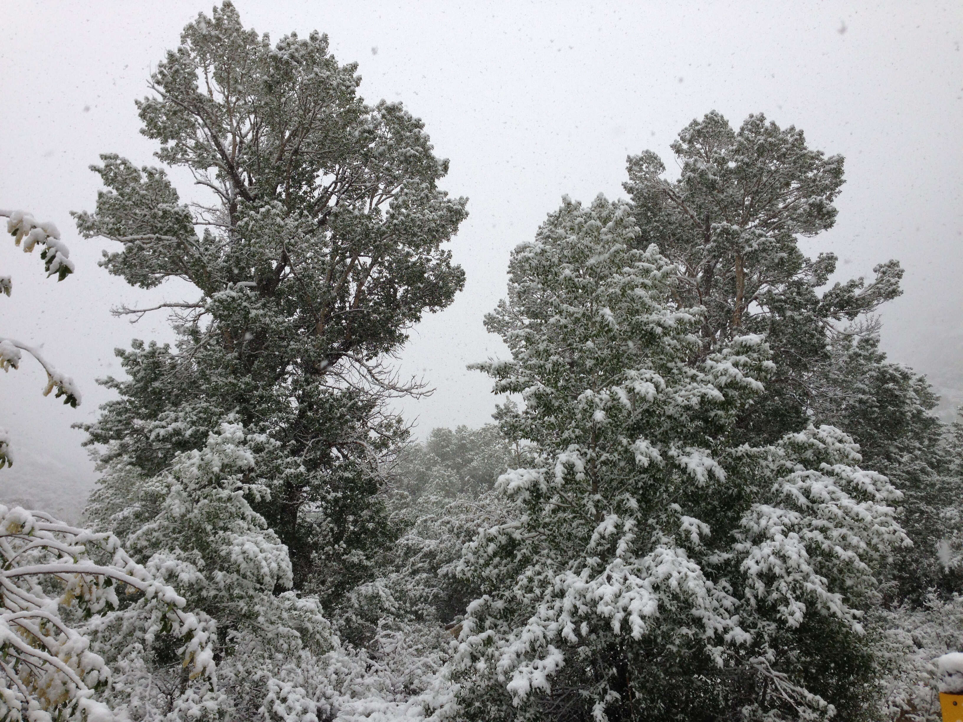
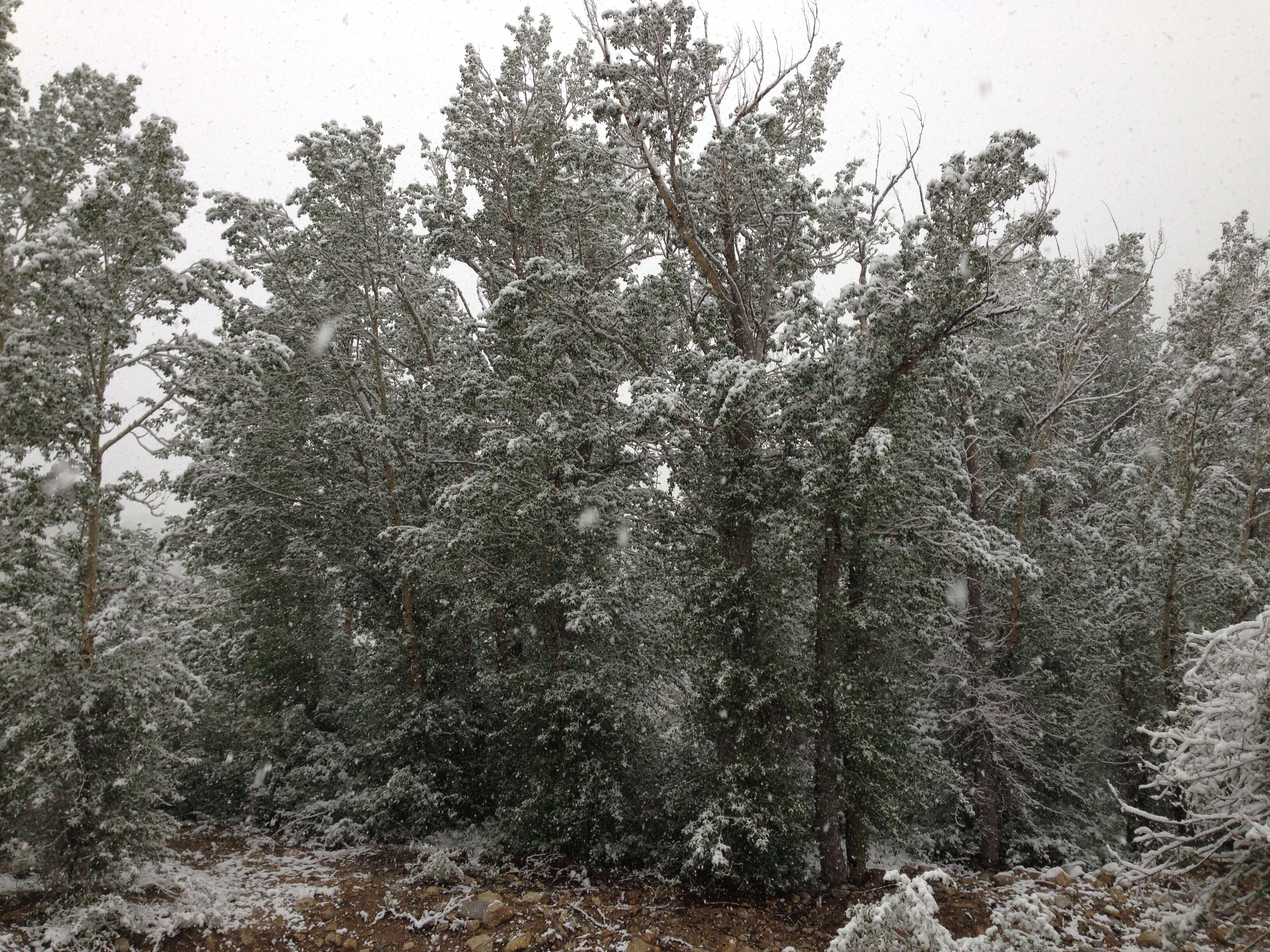
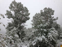
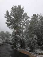
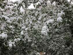
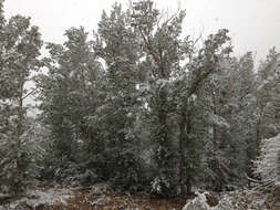
Description: English: Snow in June on Poplars with summer foliage at the Thomas Canyon Campground in Lamoille Canyon, Nevada. Date: 17 June 2014, 08:35:51. Source: Own work. Author: Famartin. Camera location 40° 39′ 01.2″ N, 115° 24′ 20.4″ W: View all coordinates using: OpenStreetMap - Google Earth: 40.650333; -115.405667.
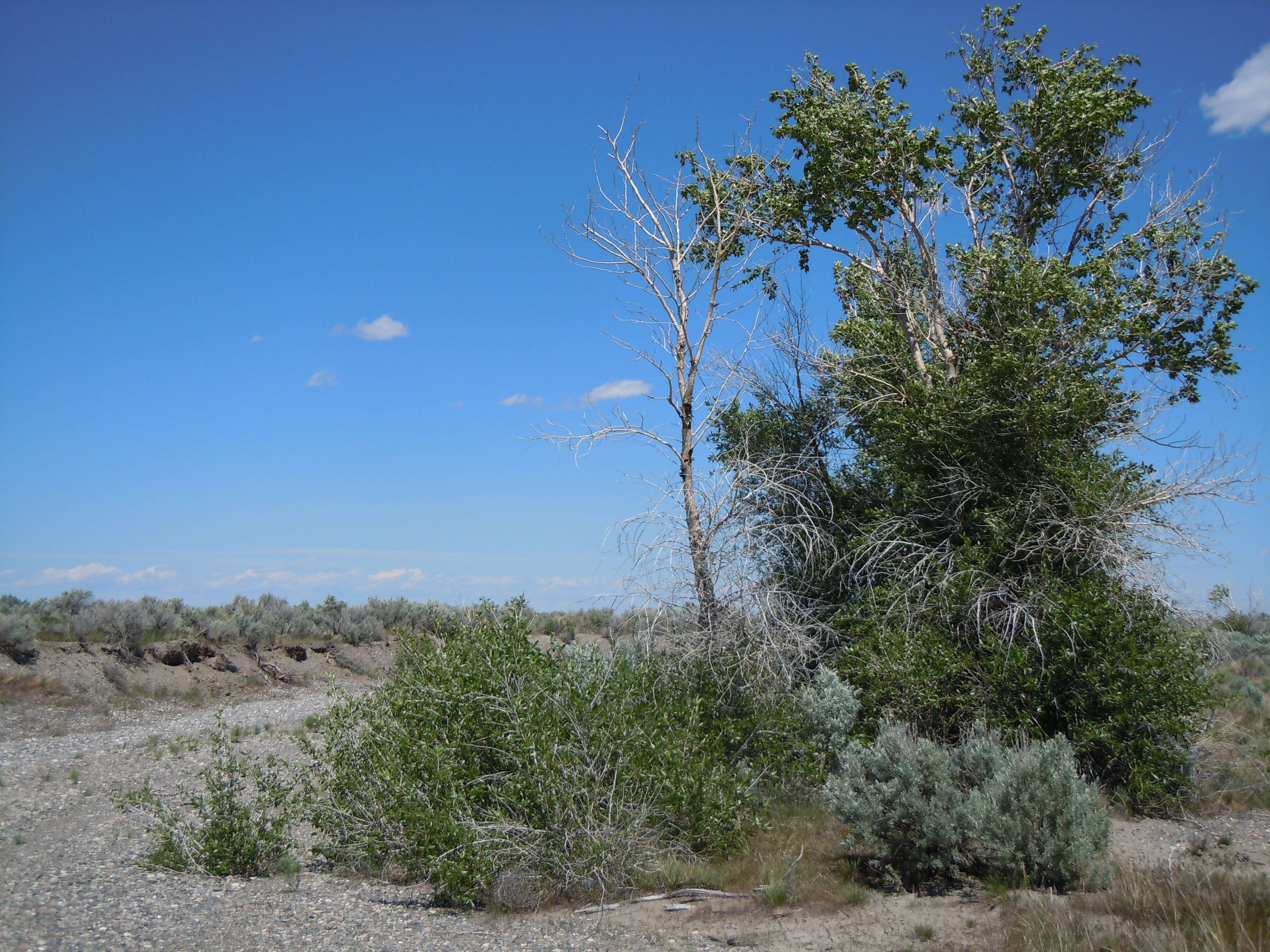
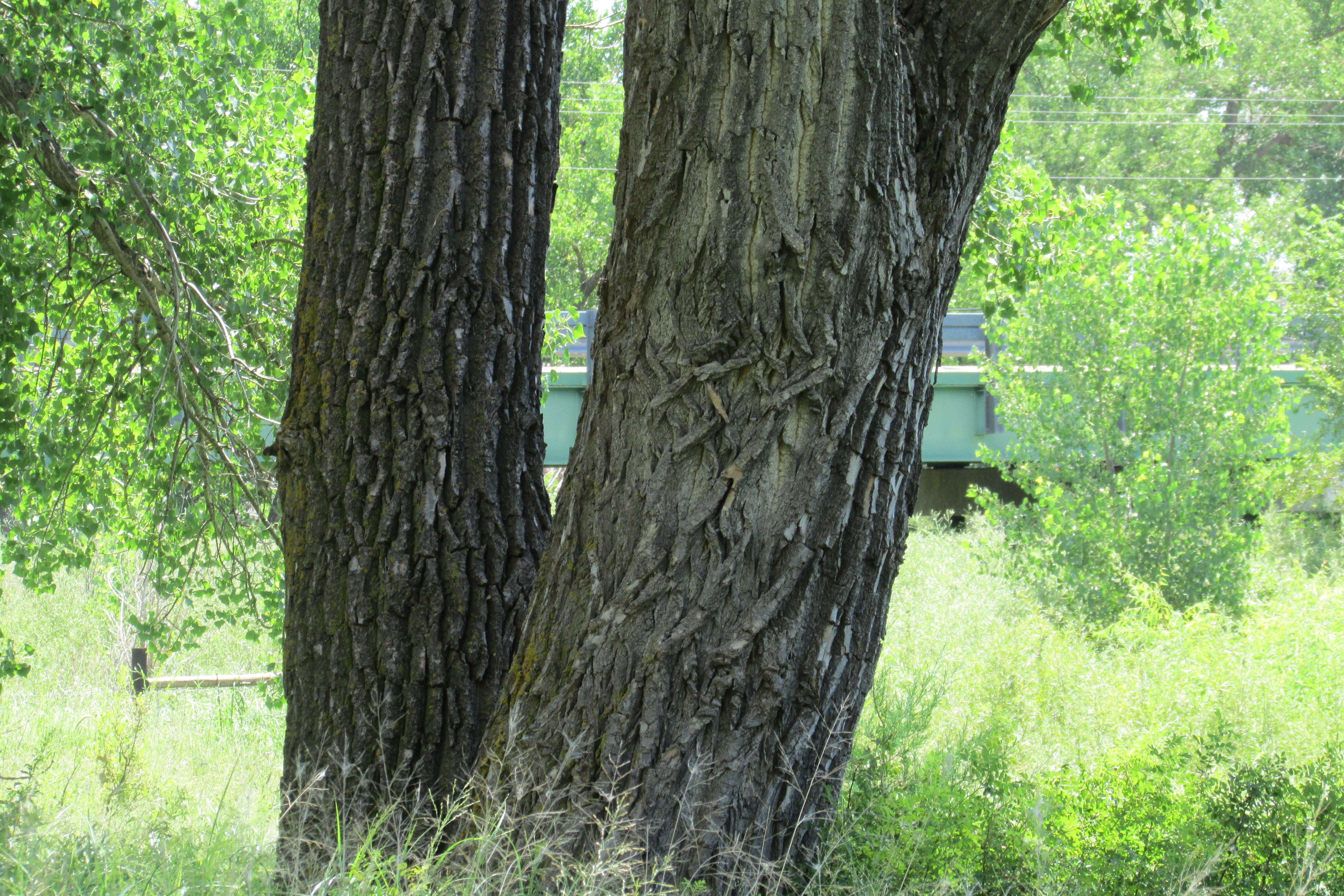
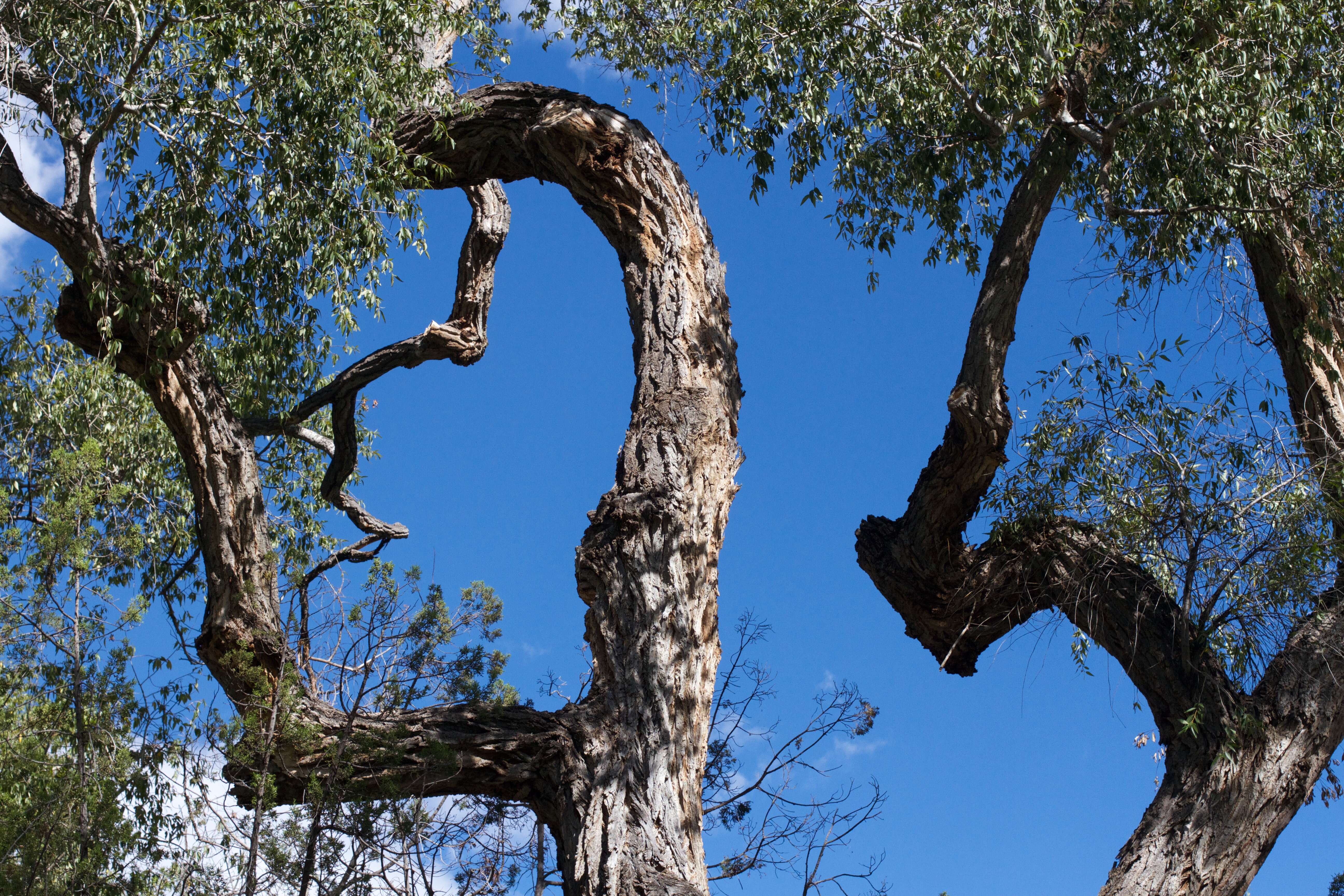
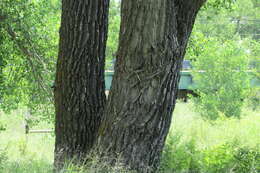
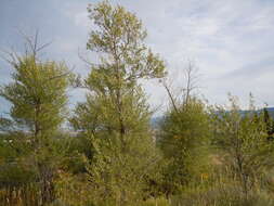
Description: The Big Lost River in the INL area is not really characterized by riparian species but more by plant species with a predilection to disturbance-prone settings. This popular is one of the relatively few in the area. Date: 14 June 2011, 13:47. Source: Populus angustifolia Uploaded by Tim1357. Author: Matt Lavin from Bozeman, Montana, USA. Camera location43° 35′ 01.94″ N, 112° 55′ 46.19″ WView all coordinates using: OpenStreetMap 43.583872; -112.929498.
Description: English: Snow in June on Poplars with summer foliage at the Thomas Canyon Campground in Lamoille Canyon, Nevada. Date: 17 June 2014, 08:35:59. Source: Own work. Author: Famartin. Camera location 40° 39′ 01.2″ N, 115° 24′ 20.4″ W: View all coordinates using: OpenStreetMap - Google Earth: 40.650333; -115.405667.
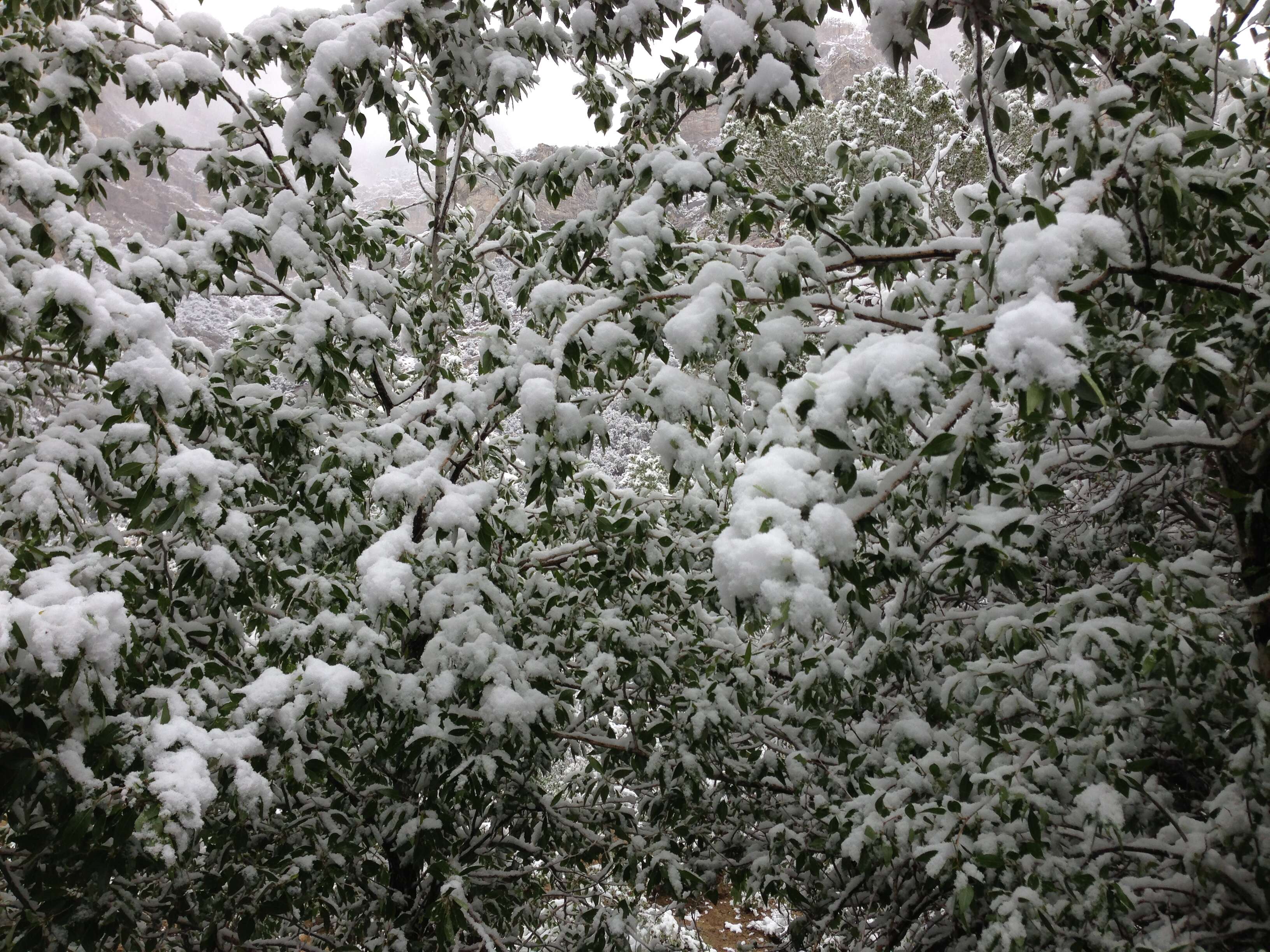
Description: English: Snow in June on Poplar summer foliage at the Thomas Canyon Campground in Lamoille Canyon, Nevada. Date: 17 June 2014, 09:34:53. Source: Own work. Author: Famartin. Camera location 40° 39′ 00.6″ N, 115° 24′ 20.4″ W: View all coordinates using: OpenStreetMap - Google Earth: 40.650167; -115.405667.
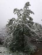
Description: English: Snow in June on Poplars with summer foliage at the Thomas Canyon Campground in Lamoille Canyon, Nevada. Date: 17 June 2014, 08:26:57. Source: Own work. Author: Famartin. Camera location 40° 39′ 01.8″ N, 115° 24′ 23.4″ W: View all coordinates using: OpenStreetMap - Google Earth: 40.650500; -115.406500.
Description: English: Arickaree bluffs overlooking the Battle of Beecher Island Battlefield site in eastern Colorado. Date: 23 July 2016, 19:47:38. Source: Own work. Author: Chris Light.
Description: English: View of Beecher Island near Wray, Colorado. Date: 23 July 2016, 19:53:06. Source: Own work. Author: Chris Light. Camera location39° 52′ 17.94″ N, 102° 11′ 07.8″ WView all coordinates using: OpenStreetMap 39.871650; -102.185500.
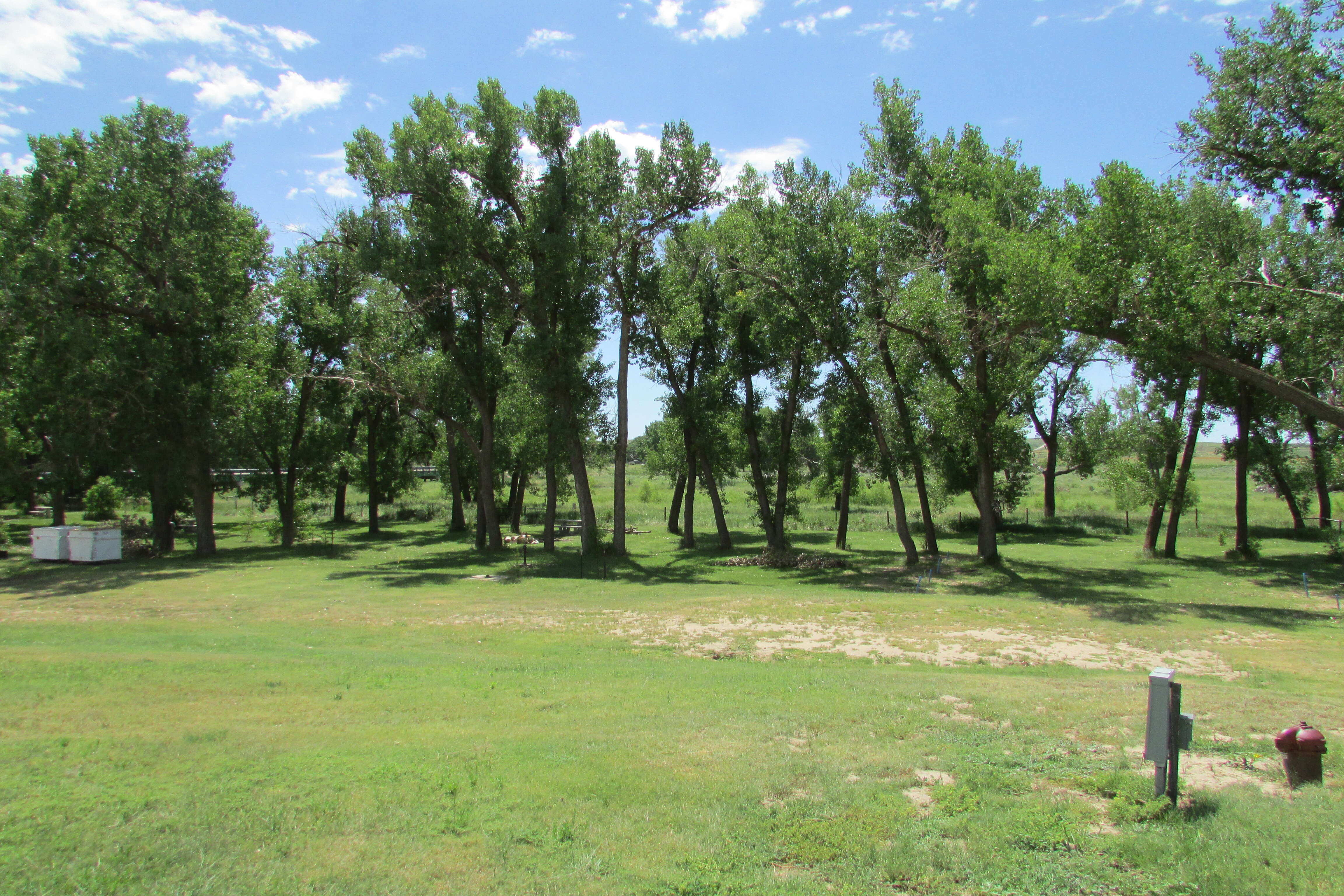
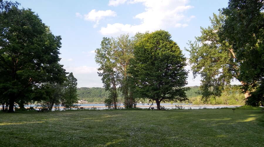
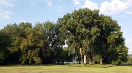
Description: English: The cottonwood grove features 100' cottonwood trees mixed with maples and other species. Date: 3 June 2016, 18:49:45. Source: Own work. Author: Mw13068.
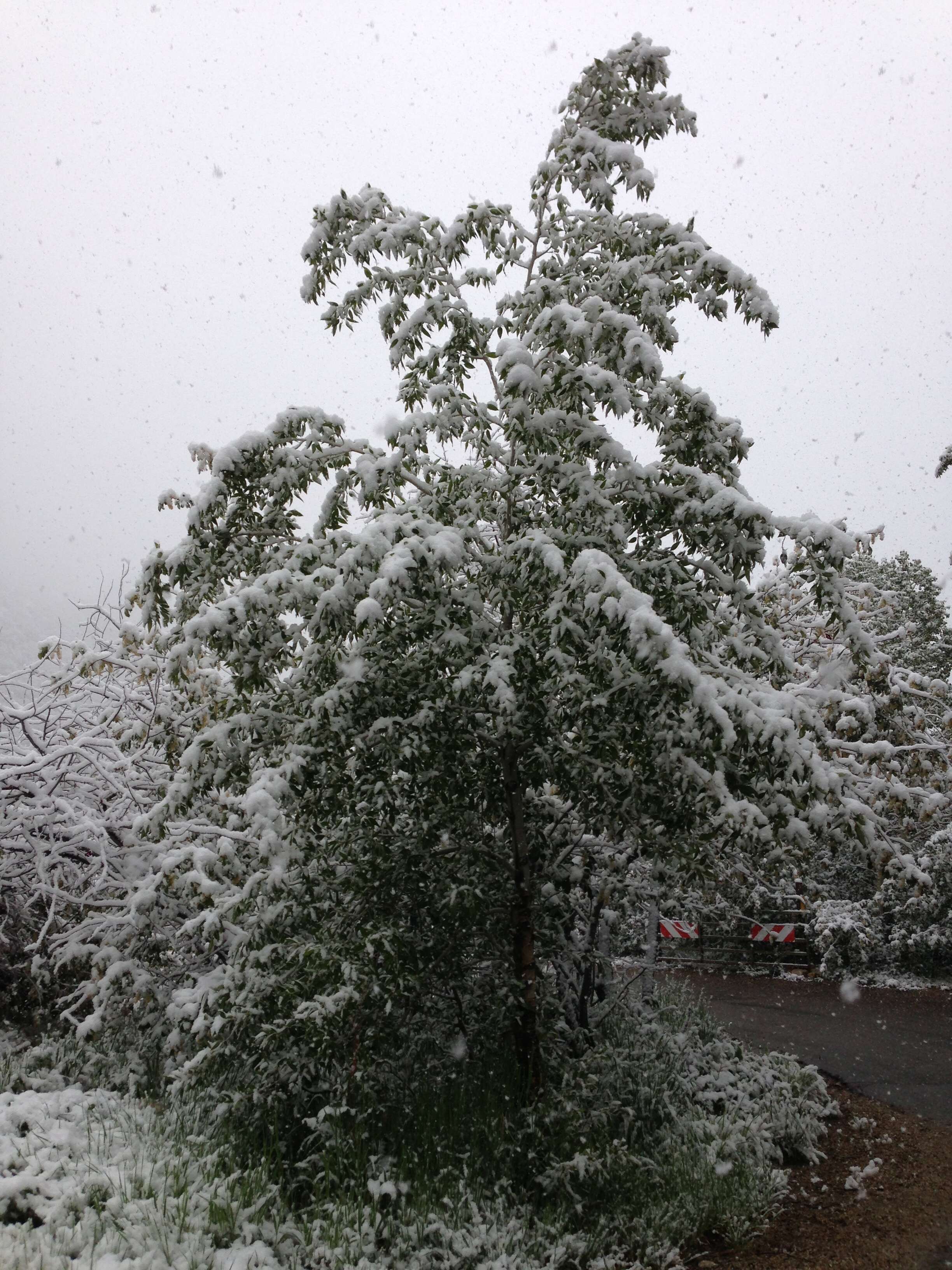
Description: English: Snow in June on Poplars with summer foliage at the Thomas Canyon Campground in Lamoille Canyon, Nevada. Date: 17 June 2014, 08:35:20. Source: Own work. Author: Famartin. Camera location 40° 39′ 01.2″ N, 115° 24′ 21″ W: View all coordinates using: OpenStreetMap - Google Earth: 40.650333; -115.405833.
Description: English: Upper Scorpion Camp, Gila Cliff Dwellings National Monument. Date: 28 August 2014, 16:50:47. Source: https://www.flickr.com/photos/cogdog/14903008737/. Author: cogdogblog. Permission(Reusing this file): At the time of upload, the image license was automatically confirmed using the Flickr API. For more information see Flickr API detail. Flickr sets Around Four Corners Road Trip.