-
2005 The Regents of the University of California
CalPhotos
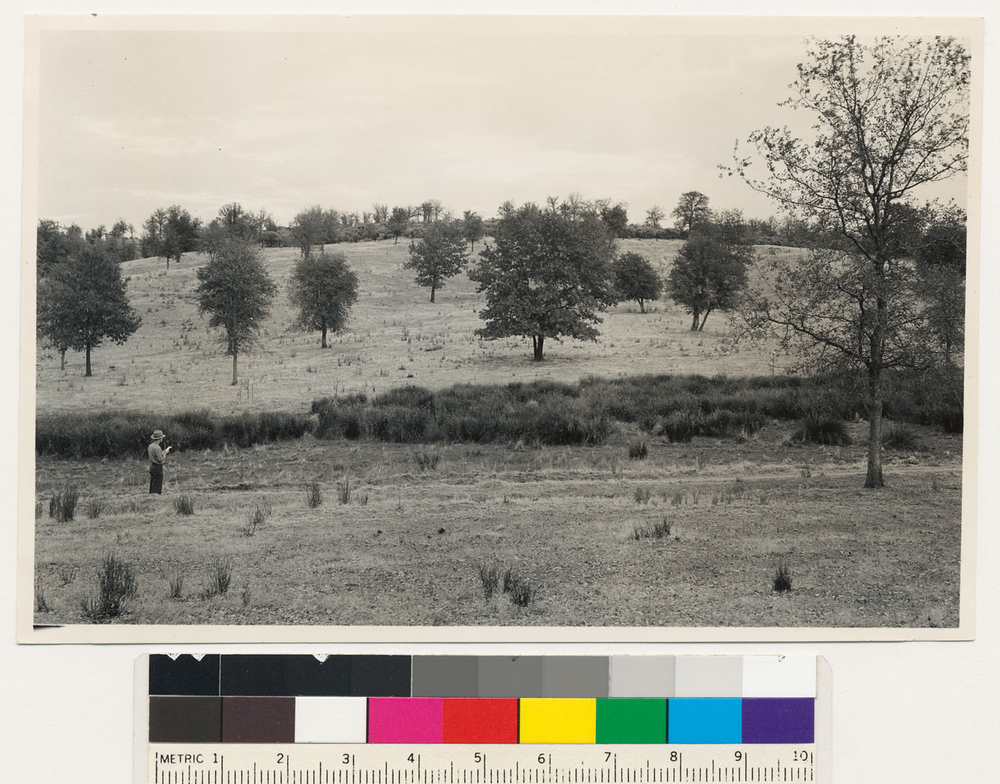
2.5 miles west of Redding. Very open tree type of interior live oak-black oak- blue oak. Shasta County., T 32 N R 5 W Sec 33 Quad name: Redding. Quad number: 23. Reference to map: 34.
-
2005 The Regents of the University of California
CalPhotos
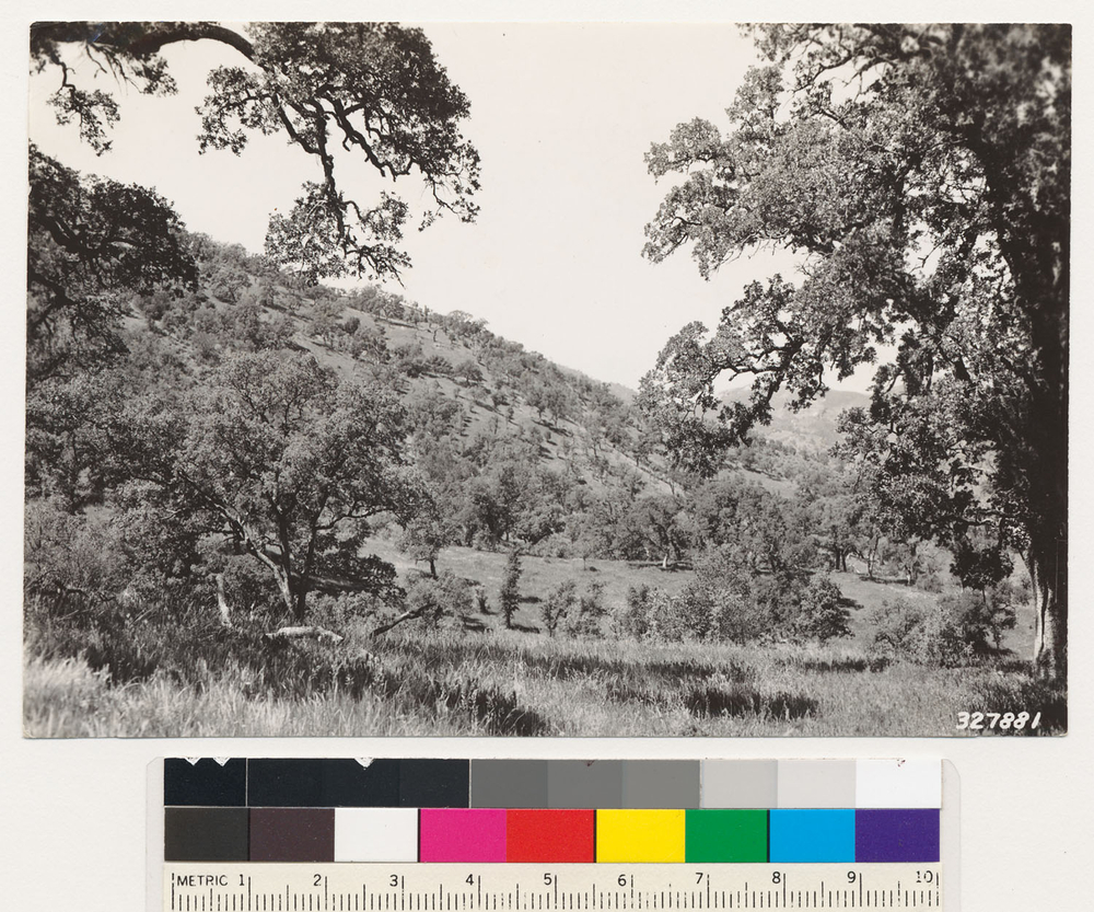
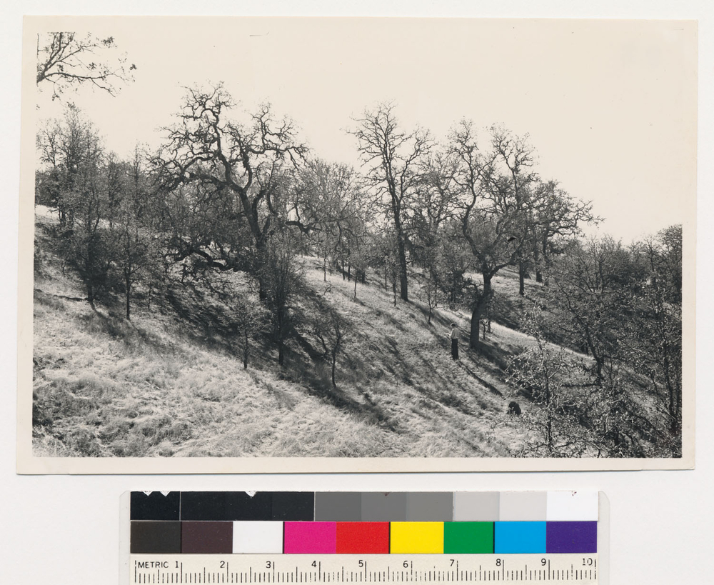
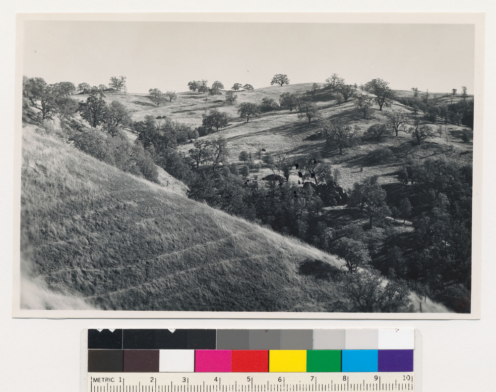
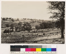
From point on ridge at west boundary of Rancho Cuyama. One mile west of Cuyama Bridge. Looking west shows woodland grass type of Douglas oak., T 32 S R 17 E Sec 36 Quad name: Avenal. Quad number: 133D. Reference to map: 2.
-
2005 The Regents of the University of California
CalPhotos
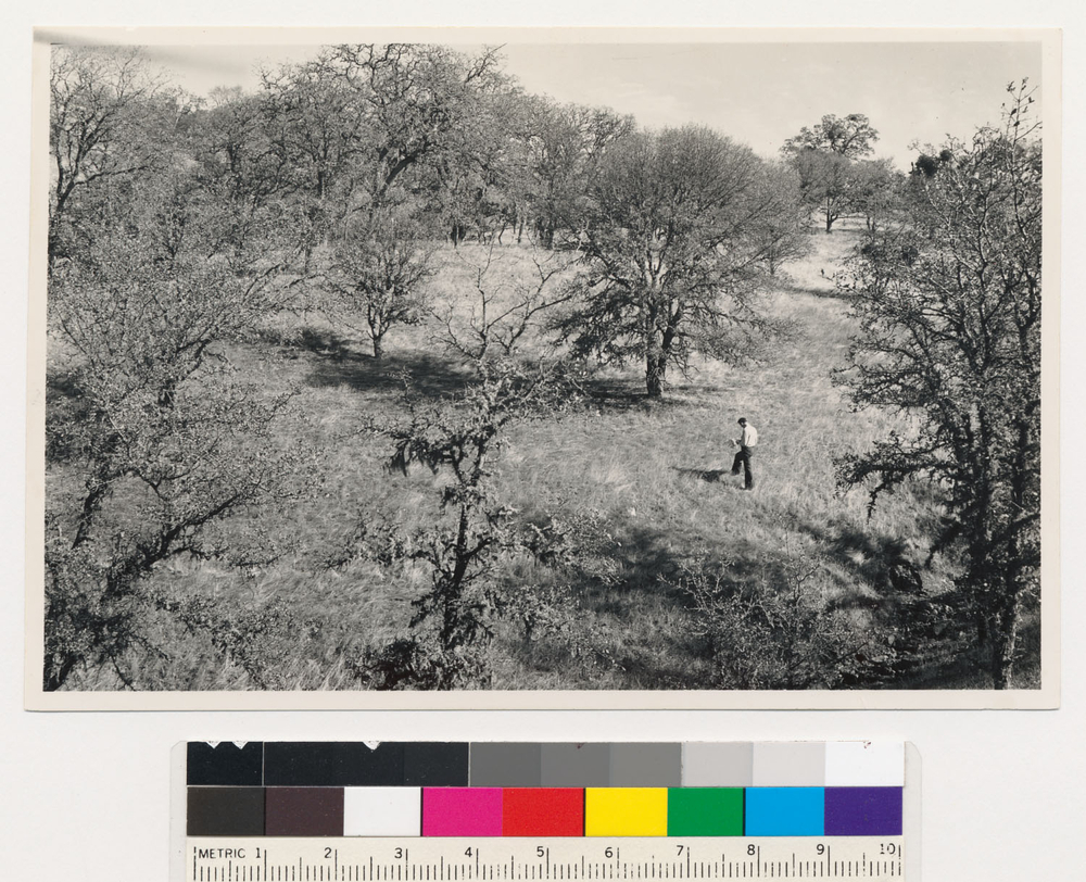
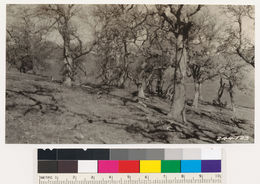
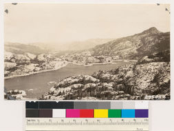
At west boundary of Rancho Cuyama. Looking south at north slope of Cuyama Creek. Shows woodland grass type of Douglas oak., T 32 S R 17 E Sec 36 Quad name: Avenal. Quad number: 133D. Reference to map: 3.
-
2005 The Regents of the University of California
CalPhotos
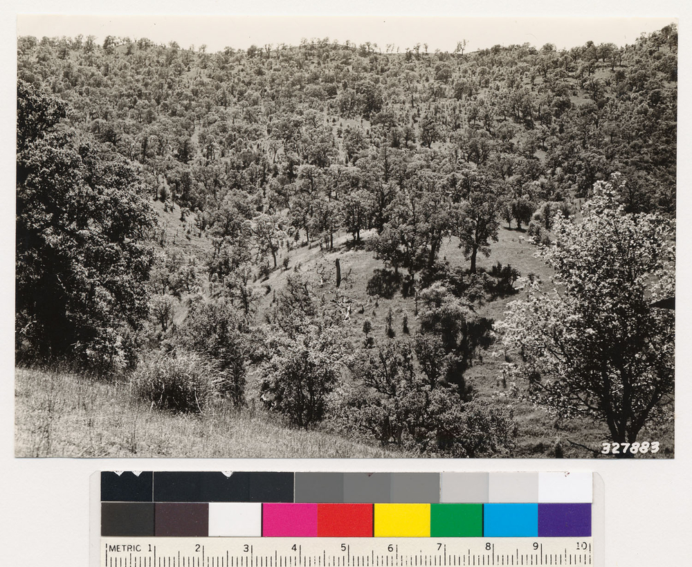
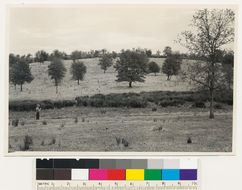
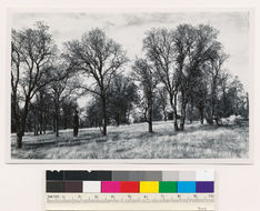
Looking NE from a point on Humboldt Road, Butte County. Elevation 300 feet, showing semibarren grass and woodland types. Trees are Quercus douglasii., Elevation 300 Quad name: Chico. Quad number: 40. Reference to map: 1.
-
2005 The Regents of the University of California
CalPhotos
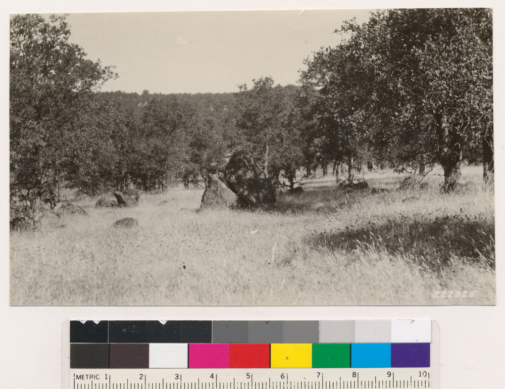
Rock formation in a pure Douglas oak type. Brown's Valley Ridge. Quad name: Smartsville. Quad number: 50.
-
2005 The Regents of the University of California
CalPhotos
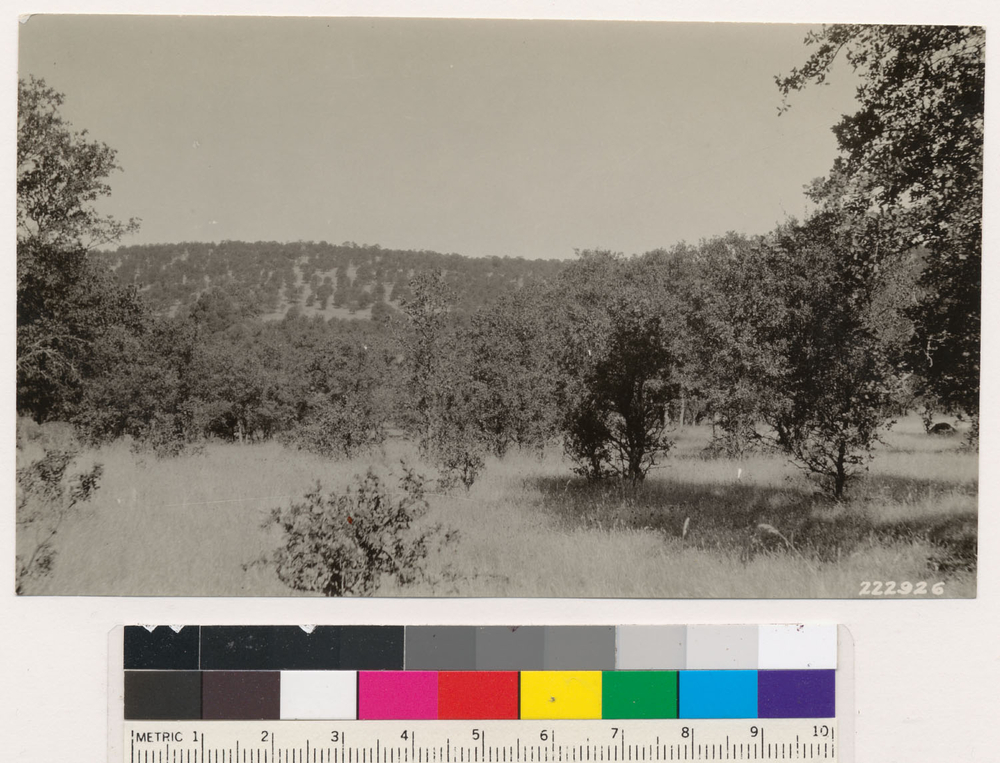
Brown's Valley Ridge. Pure blue or Douglas oak type. Quad name: Smartsville. Quad number: 50.
-
2005 The Regents of the University of California
CalPhotos
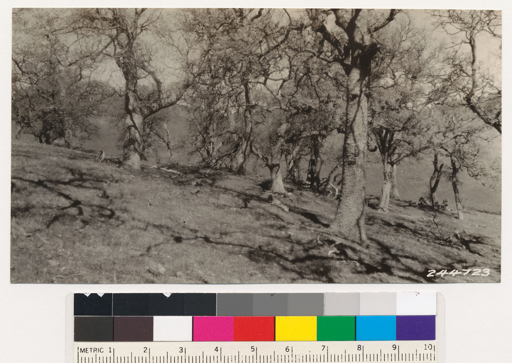
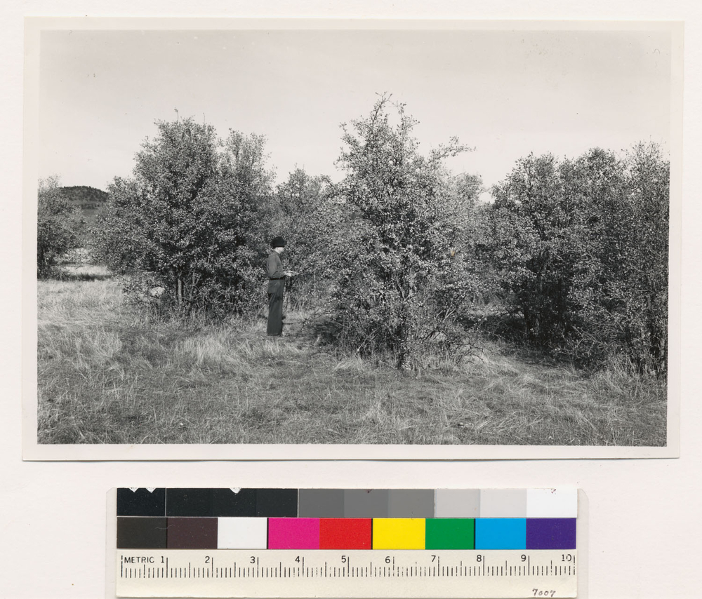
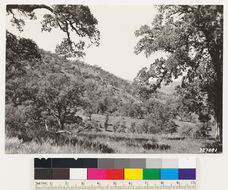
Inside blue oak stand near Figueroa Station, Santa Barbara National Forest. Quad name: Santa Ynez. Quad number: 156.
-
2005 The Regents of the University of California
CalPhotos
Looking southwest. Open woodland type of valley and Douglas oak. Quad name: Caliente. Quad number: 136. Reference to map: 18.
-
2005 The Regents of the University of California
CalPhotos
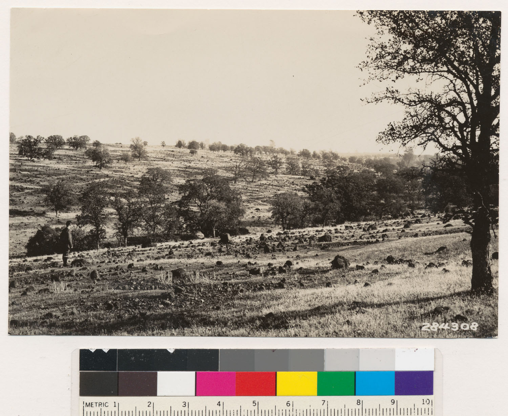
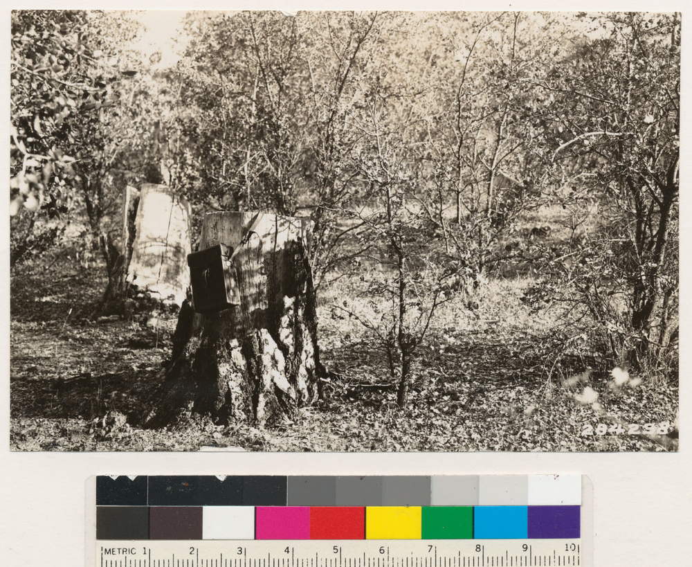
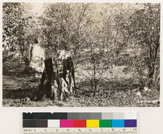
View near divide between Negro and Squirrel Creeks. Anthony- House-Penn Valley Road. Shows Quercus douglasii replacing former ponderosa pine second growth stands as indicated by stumps. (also No. 284287) Quad name: Smartsville. Quad number: 50. Reference to map: 17.
-
2005 The Regents of the University of California
CalPhotos
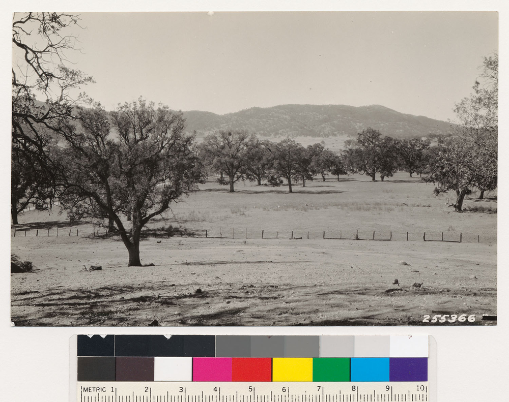
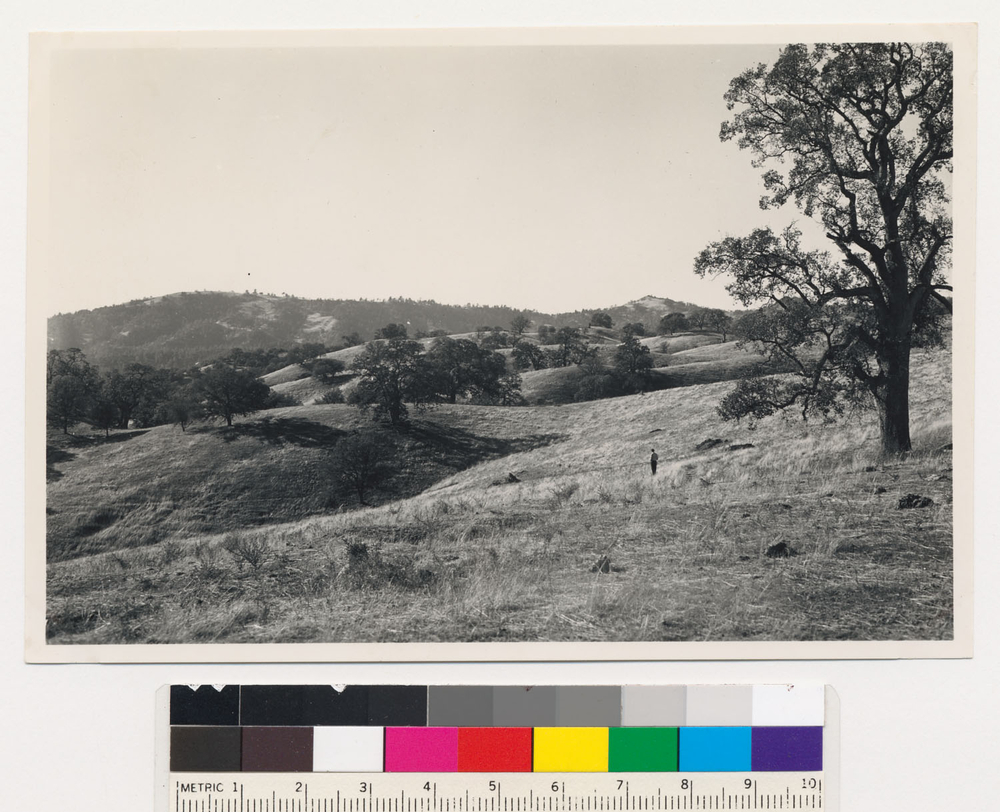
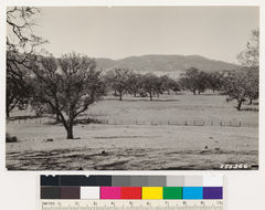
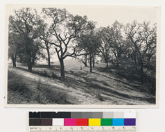
2.25 miles W of Mt. Hamilton. Old growth blue oak. Assoc. sp.: valley oak. Santa Clara Co. Quad name: Mt. Hamilton. Quad number: 85A. Reference to map: 1.
-
2005 The Regents of the University of California
CalPhotos
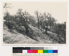
1.5 miles SW of Mt. Hamilton. Open young growth-old growth stand of blue oak. Santa Clara Co. Quad name: Mt. Hamilton. Quad number: 85A. Reference to map: 2.
-
2005 The Regents of the University of California
CalPhotos
1.5 miles SW of Mt. Hamilton. Open young growth-old growth stand of blue oak. Santa Clara Co. Quad name: Mt. Hamilton. Quad number: 85A. Reference to map: 2.
-
2005 The Regents of the University of California
CalPhotos
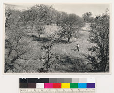
.75 miles NE of Rattlesnake Butte. Very open old growth stand of blue oak. Santa Clara Co. Quad name: Mt. Hamilton. Quad number: 85A. Reference to map: 4.
-
2005 The Regents of the University of California
CalPhotos
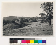
.5 miles E of Rattlesnake Butte. Very open old growth stand of blue oak. Santa Clara Co. Quad name: Mt. Hamilton. Quad number: 85A. Reference to map: 5.
-
2005 The Regents of the University of California
CalPhotos
1 and 1/2 miles W of Sicard Flat. Open young growth stand of blue oak. Yuba Co. Quad name: Smartsville. Quad number: 50. Reference to map: 100.
-
2005 The Regents of the University of California
CalPhotos
1 and 1/4 miles SE of Browns Valley. Hardwood trees below the size distinguishable as trees on the aerial photos (blue oaks). Yuba Co. Quad name: Smartsville. Quad number: 50. Reference to map: 101.
-
2005 The Regents of the University of California
CalPhotos
French Lake and English Mt. Looking north, 45 degrees west. Large area of barren and semi-barren Quercus vacciniifolia., T 12 N R 13 E Sec 7, 17, 20 Quad name: Colfax. Quad number: 51. Reference to map: 18.
-
2005 The Regents of the University of California
CalPhotos
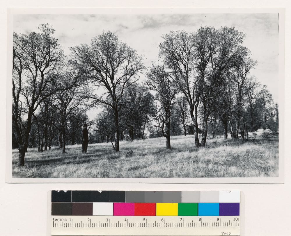
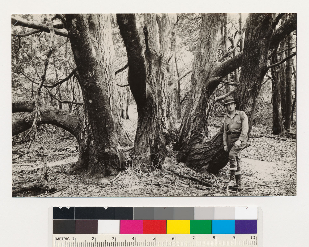
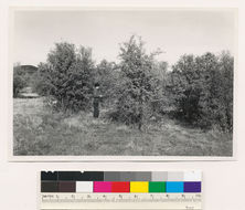
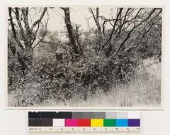
Head of Cataract Gulch. Clump of well developed tanbark oak sprouts. Quad name: Tamalpais. Quad number: 83A. Reference to map: 5.
-
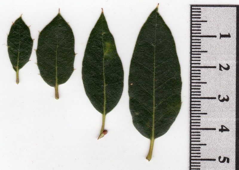
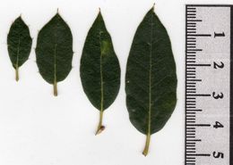
Scanned image of Q. wislizeni leaves showing leaf variety of size, shape, and margin on a single branch.
-
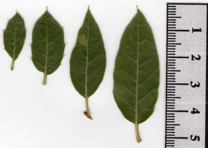
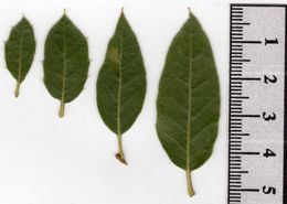
Scanned image of Q. wislizeni leaves showing leaf variety of size, shape, and margin on a single branch. Lower leaf surface.
-
2005 The Regents of the University of California
CalPhotos
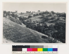
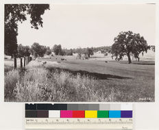
Between Cool and Pilot Hill. Irrigated pasture. Note interior live oak encroachment on slope grassland area (former ponderosa pine site) in the background. El Dorado County., T 12 N R 9 E Sec 30 Quad name: Sacramento. Quad number: 57. Reference to map: 43.
-
2005 The Regents of the University of California
CalPhotos
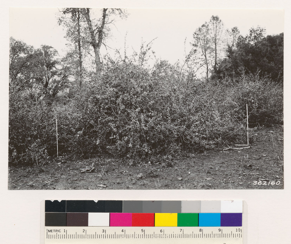
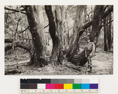
Eight miles southwest of Grass Valley. Note remarkable sprouting capacity of Quercus wislizeni following cutting for cordwood. Sprouts from a single stump in space between the two 3 ft. rules. Nevada Co., T 15 N R 7 E Sec 13 Quad name: Smartsville. Quad number: 50. Reference to map: 69.
-
2005 The Regents of the University of California
CalPhotos
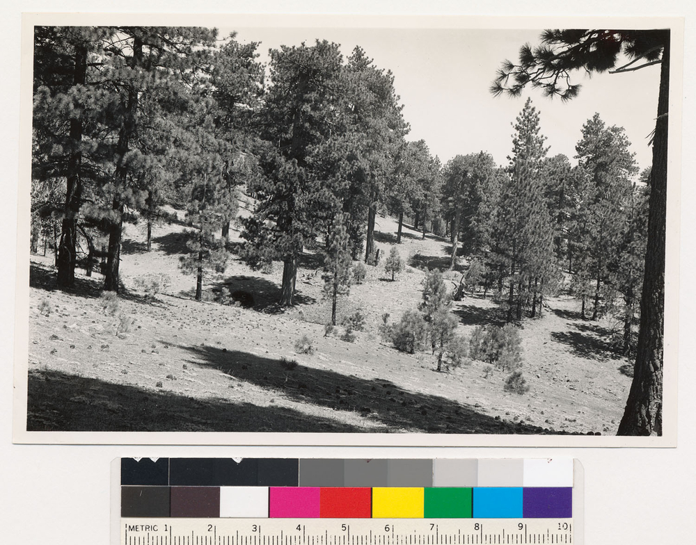
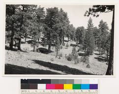
Head of Frazier Creek on Alamo Mountain. Old growth ponderosa pine-Jeffrey pine stand, with reproduction coming up in the opening. Ventura County., T 7 N R 19 W Sec 31 Quad name: Tejon. Quad number: 154. Reference to map: 43.
-
2005 The Regents of the University of California
CalPhotos
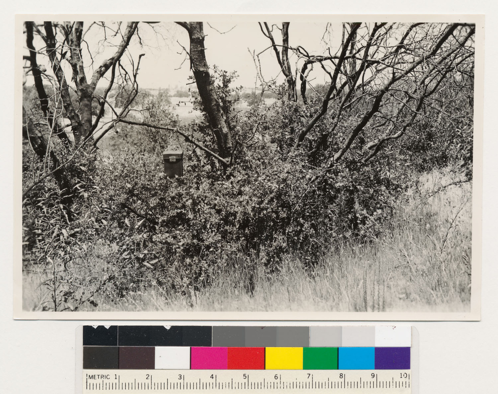
2 miles west of Plymouth. Live oak sprout regrowth following burning to clear brush. Amador County. Quad name: Jackson. Quad number: 68.