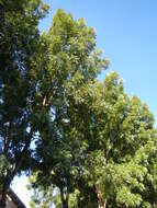
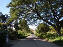
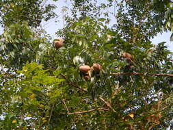
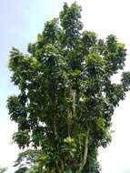
Description: English:
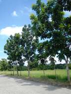
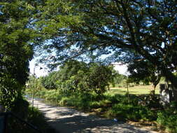
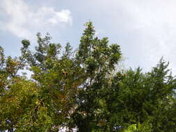
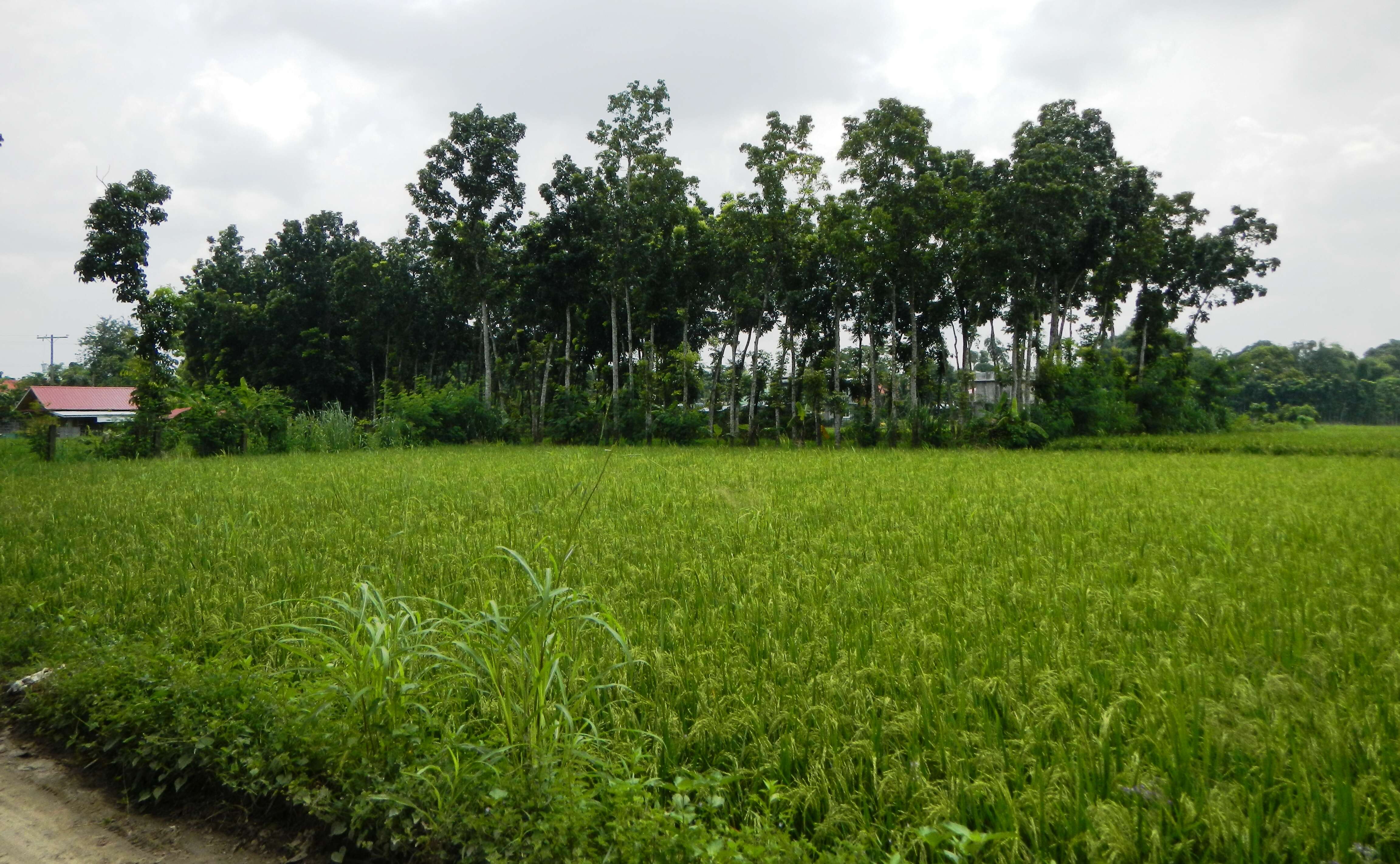
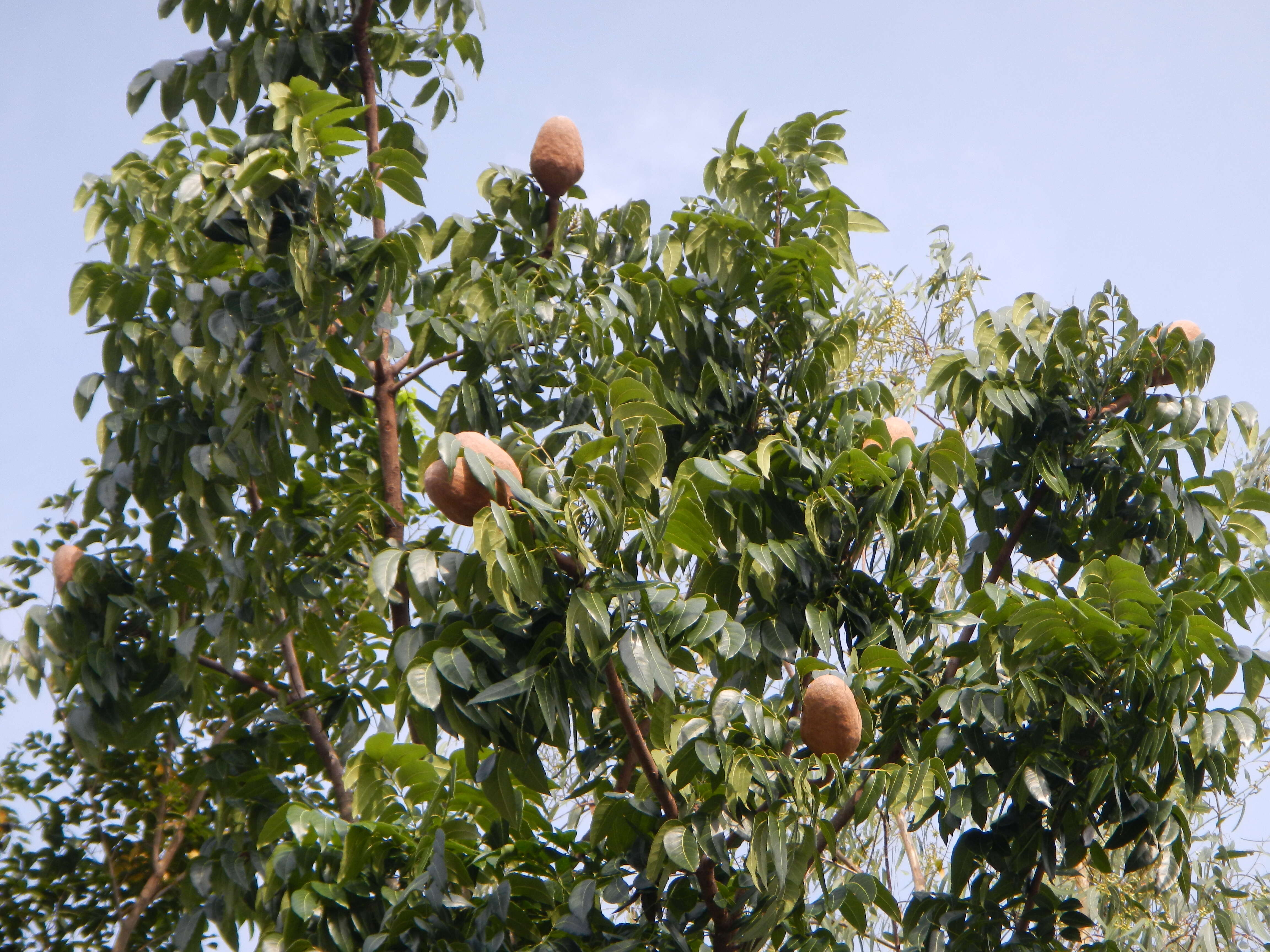
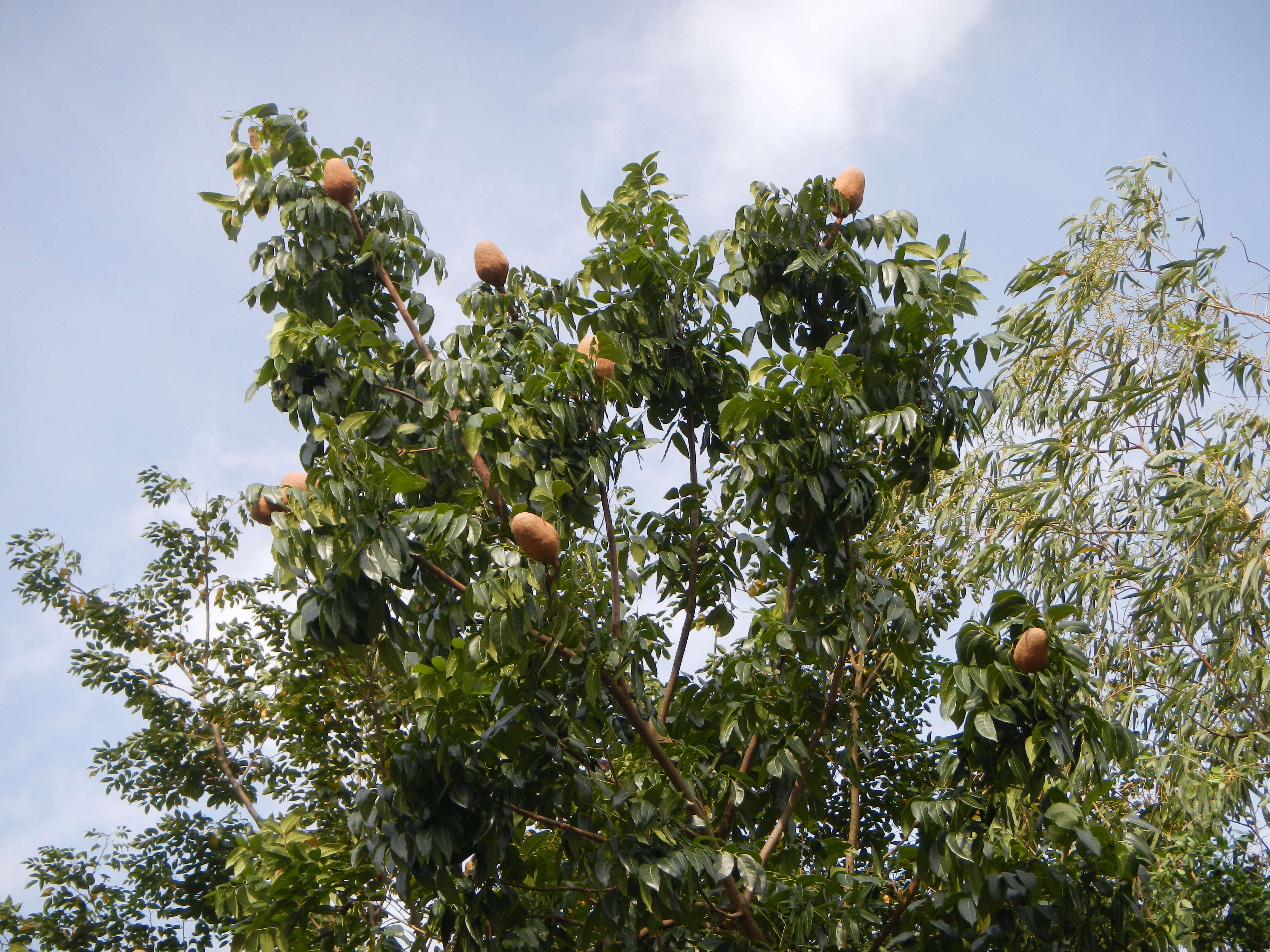
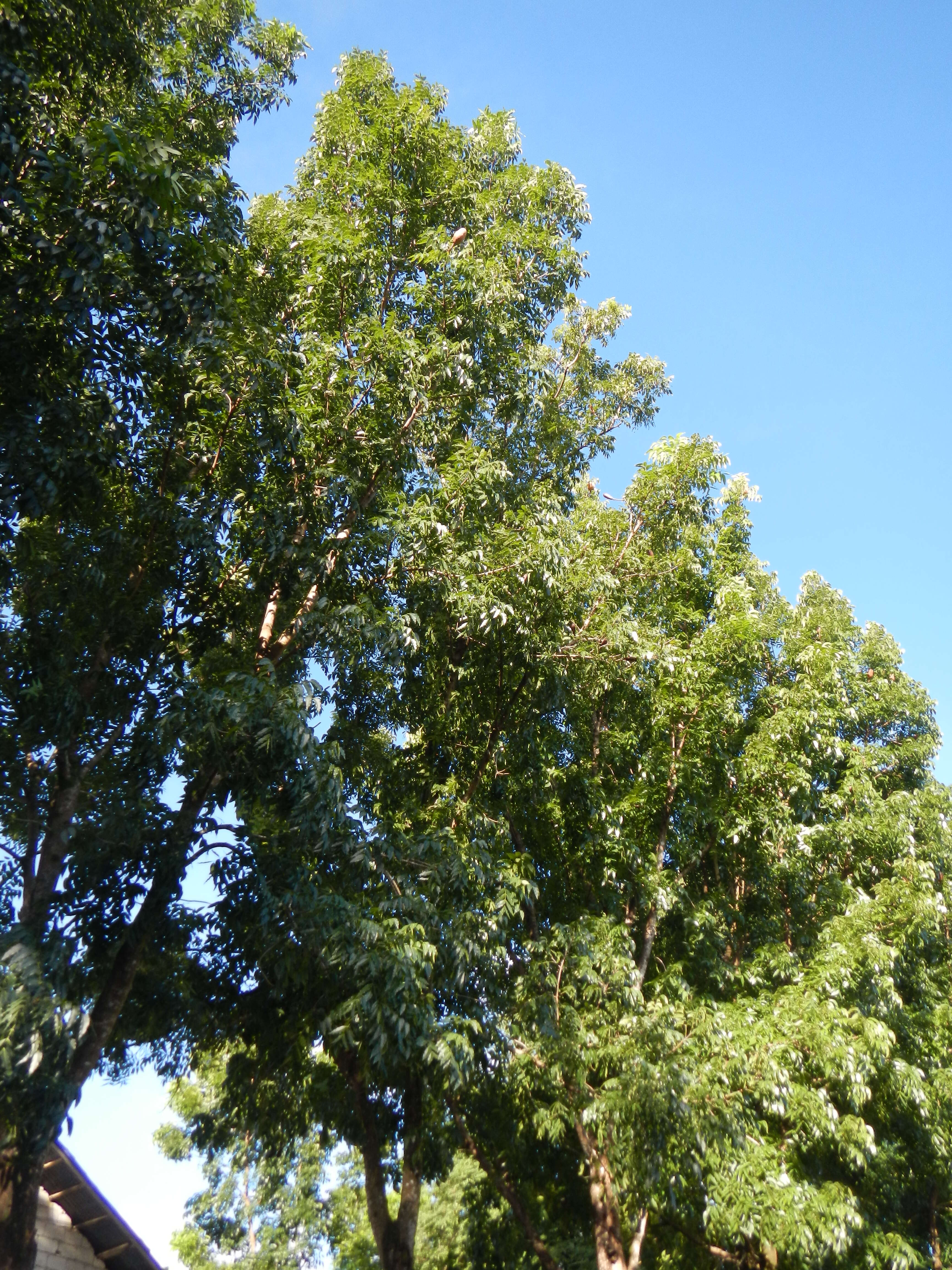
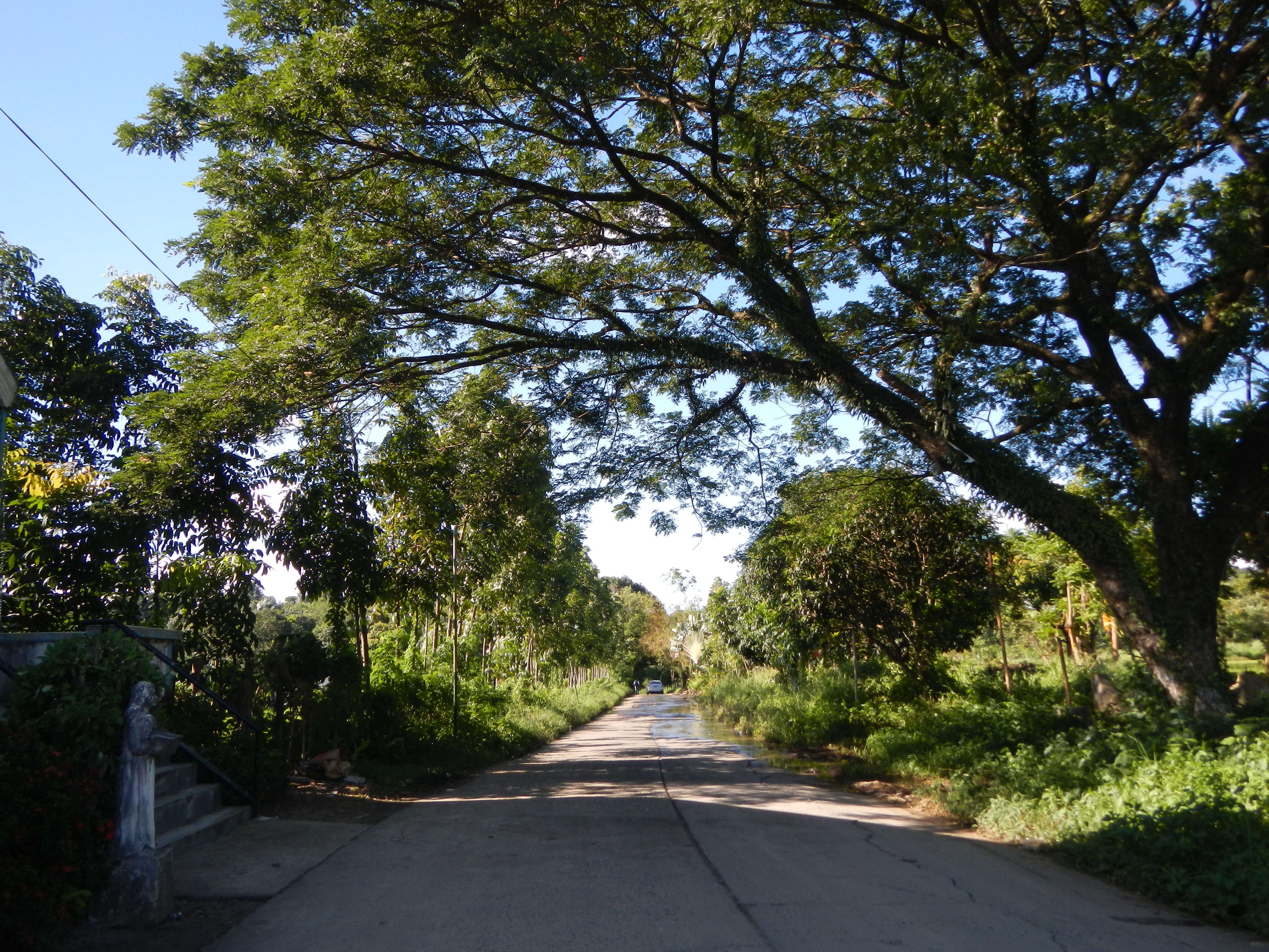
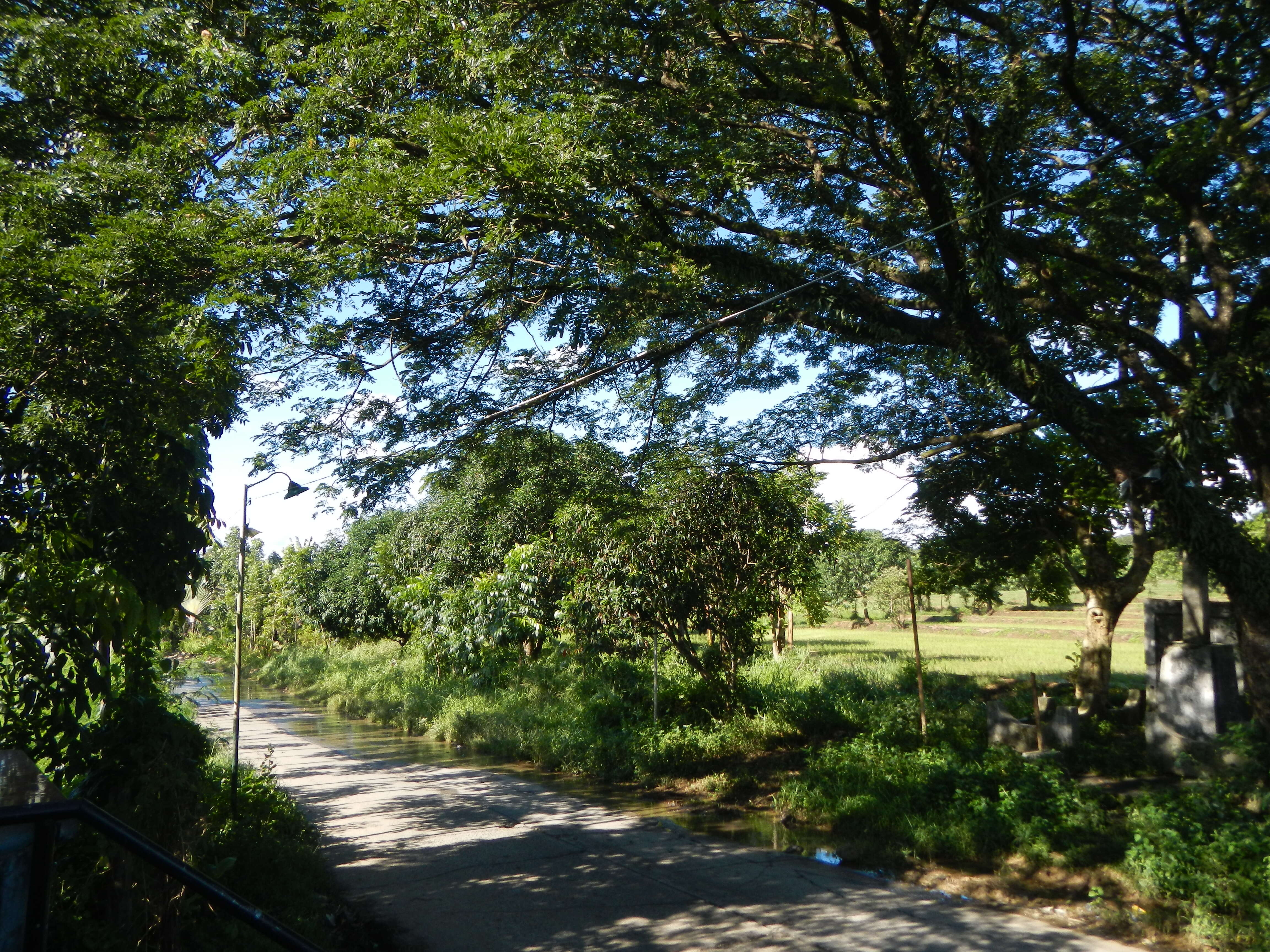
Barangay Bagong Silang 15°10'57"N 120°56'32"E
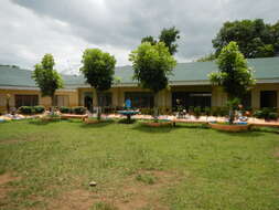
Chapel 15°10'14"N 120°55'50"E
School 15°10'12"N 120°55'49"E beside
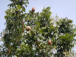
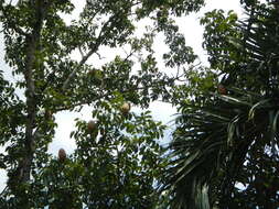
Ilog-Bulo 15°11'34"N 120°56'36"E
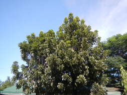
Salacot 15°11'8"N 120°56'8"E
Cambio 15°12'33"N 120°58'12"E
Sacdalan 15°12'11"N 120°56'38"E
Bagong Pag-asa 15°11'46"N 120°56'34"E
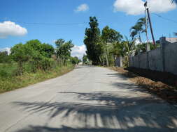
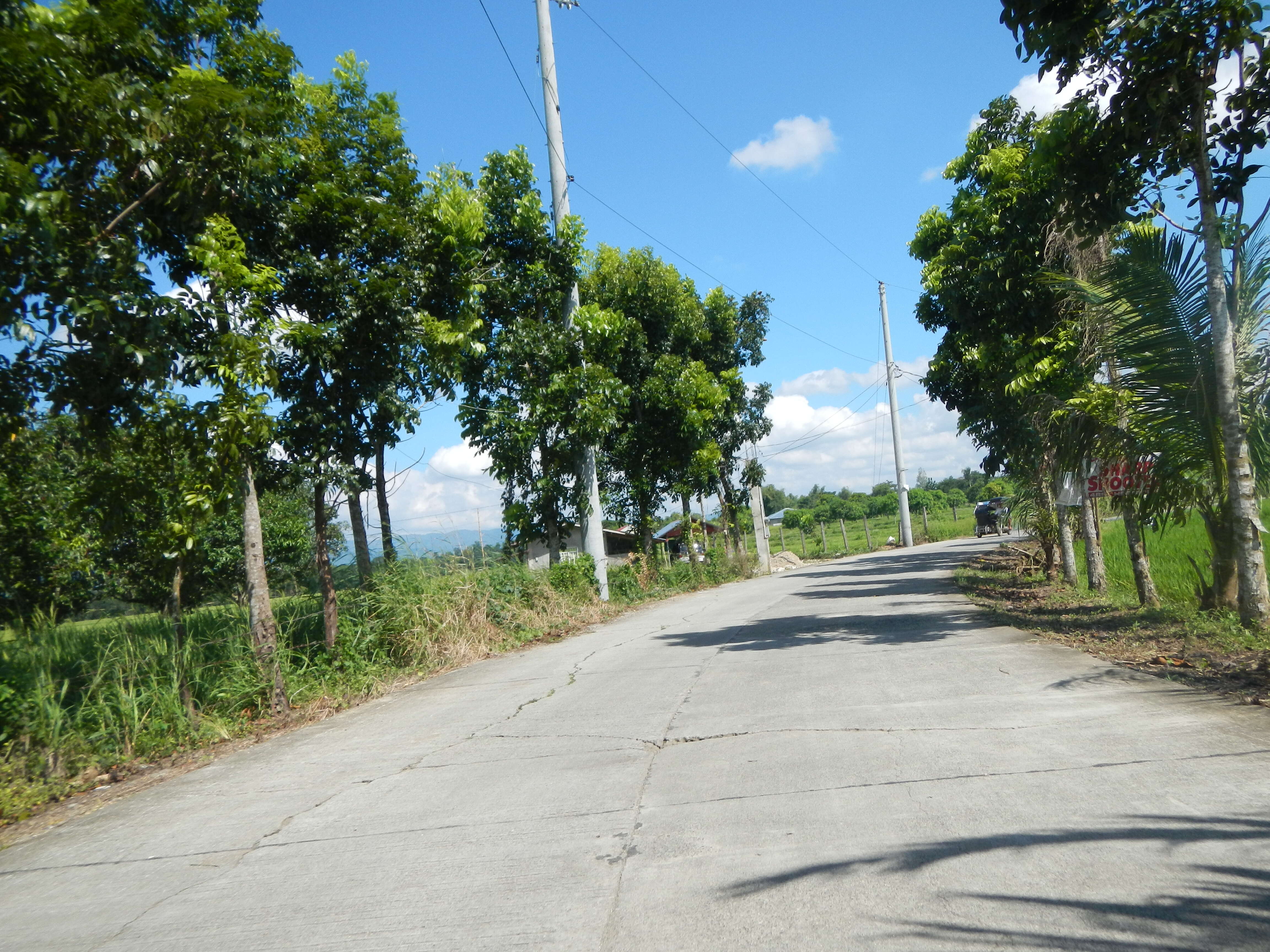
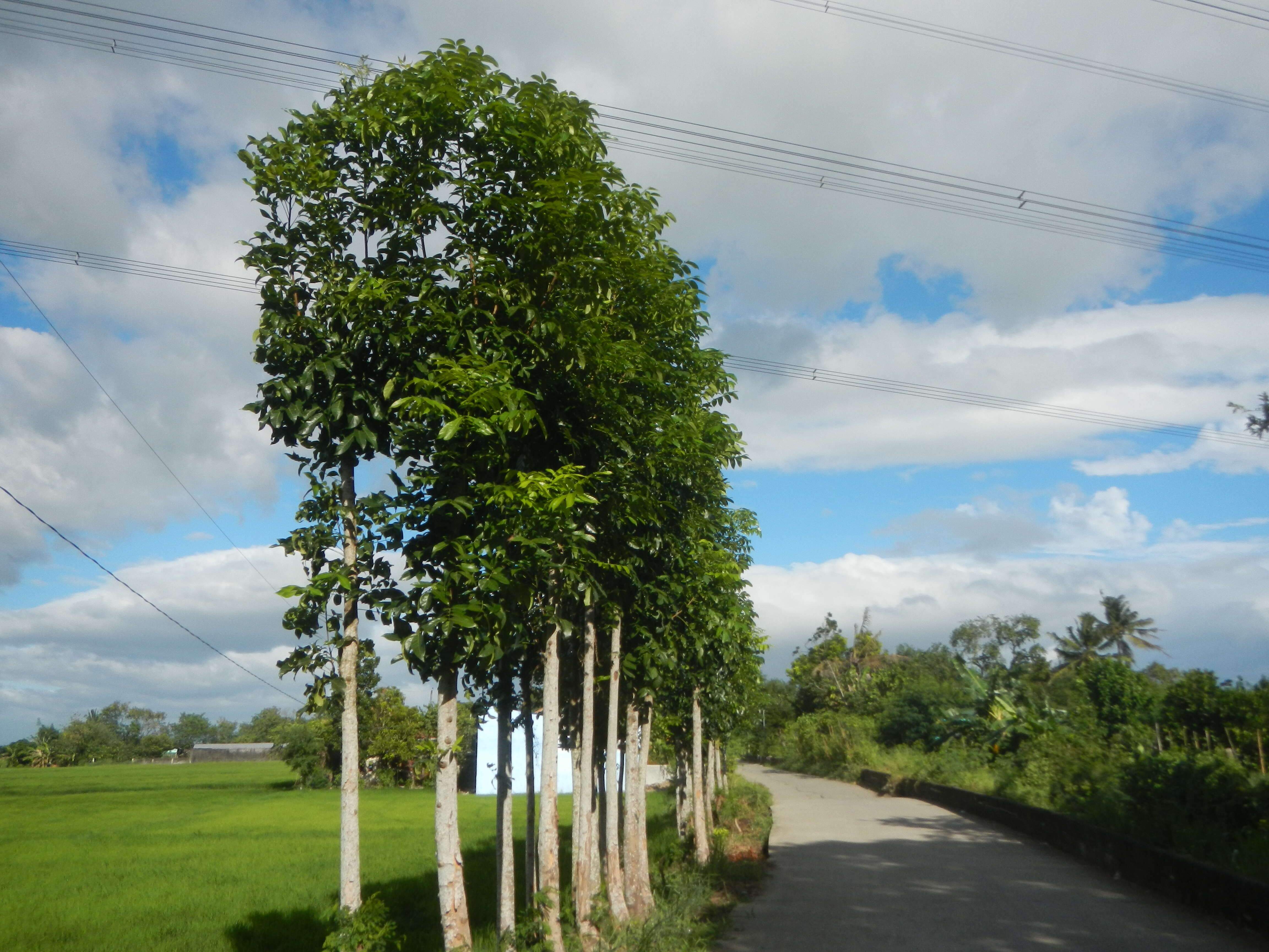
San Miguel, Bulacan (accessed along and from the
Maharlika Highway (Cagayan Valley Road, San Miguel, Bulacan section) of
Pan-Philippine Highway, also known as the Maharlika "Nobility/freeman" Highway or Asian Highway 26, Cagayan Valley Road Note: Judge Florentino Floro, the owner, to repeat, Donor
Florentino Floro of all these photos hereby donate gratuitously, freely and unconditionally all these photos to and for Wikimedia Commons, exclusively, for public use of the public domain, and again without any condition whatsoever). Date: 4 January 2017, 14:54:55. Source: Own work. Author:
Judgefloro. Camera location
15° 10′ 57″ N, 120° 56′ 32″ E View all coordinates using:
OpenStreetMap 15.182500; 120.942222.
Bagong Silang 15°10'57"N 120°56'32"E Licensing[
edit] : This file is made available under the
Creative Commons CC0 1.0 Universal Public Domain Dedication. The person who associated a work with this deed has dedicated the work to the
public domain by waiving all of their rights to the work worldwide under copyright law, including all related and neighboring rights, to the extent allowed by law. You can copy, modify, distribute and perform the work, even for commercial purposes, all without asking permission. http://creativecommons.org/publicdomain/zero/1.0/deed.enCC0Creative Commons Zero, Public Domain Dedicationfalsefalse.