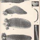
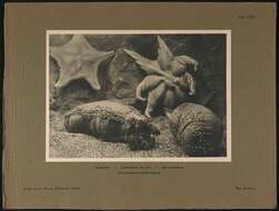
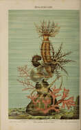
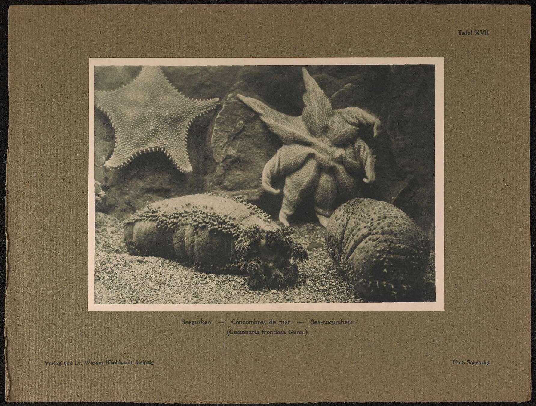
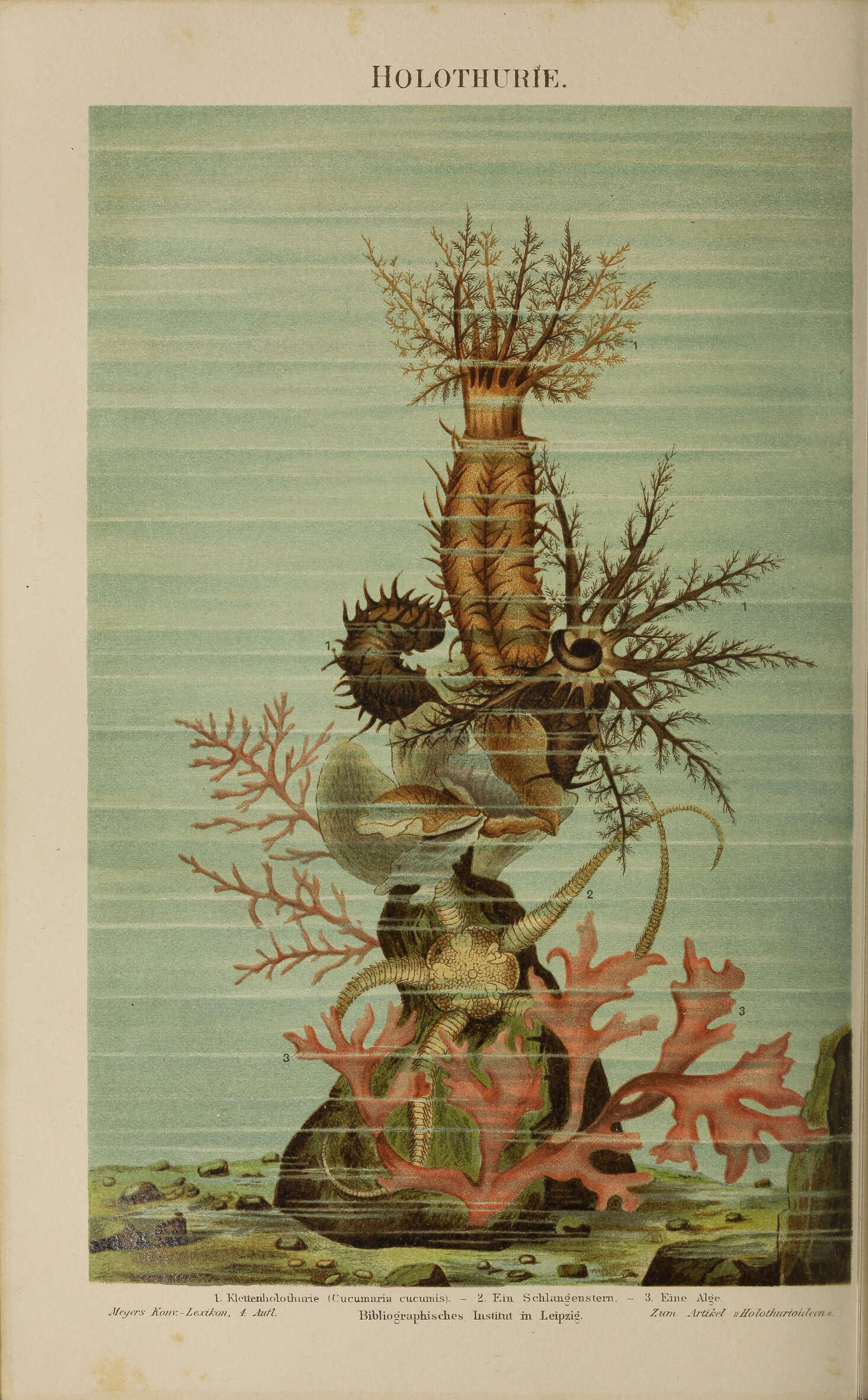
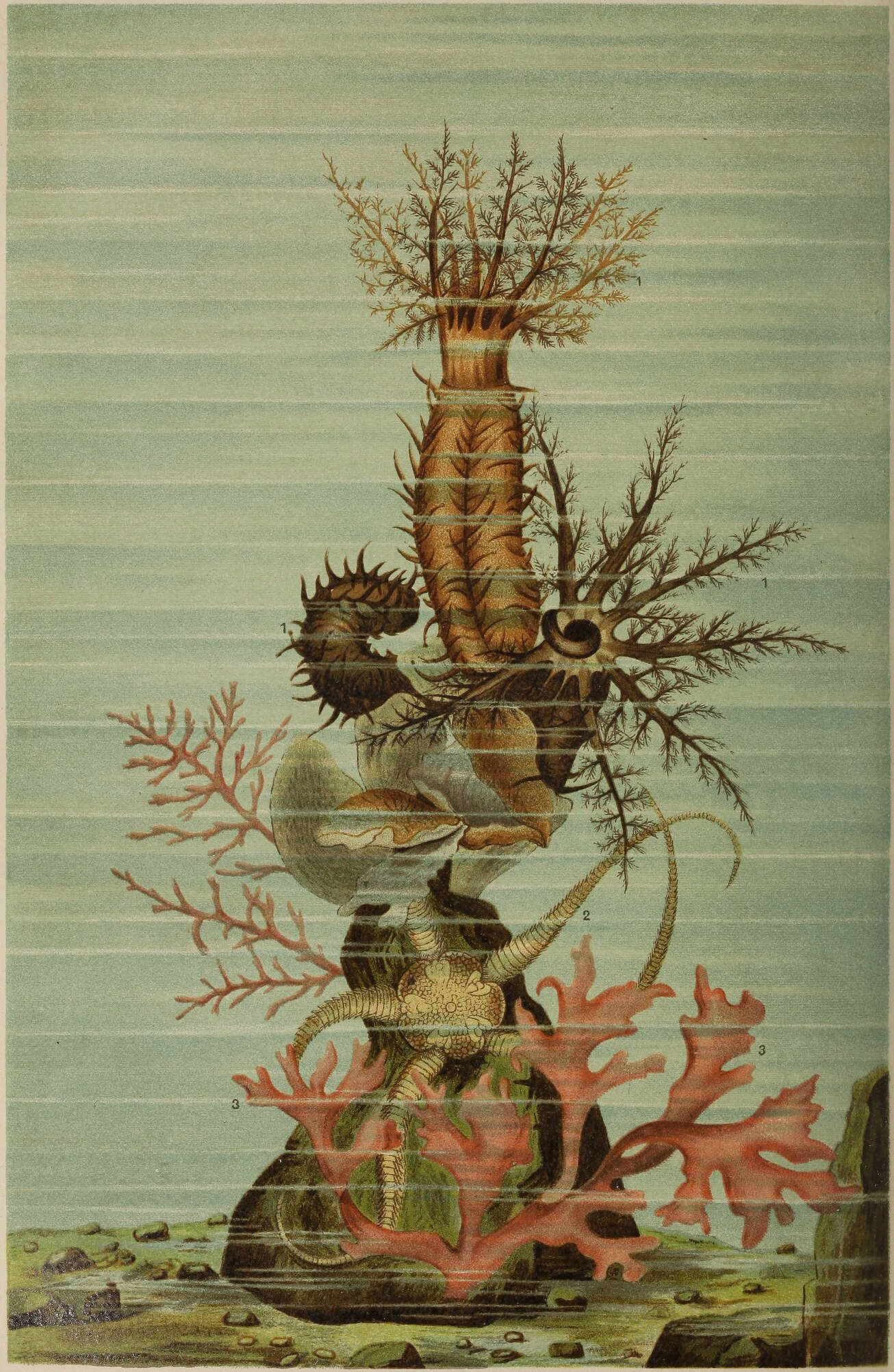
Description: Deutsch: Tafel „Holothurie“. Original-Bildunterschrift: 1. Klettenholothurie (Cucumaria cumumis) – 2. Ein Schlangenstern – 3. Eine Alge. – Zum Artikel „Holothurioideen“. Date: from 1885 until 1890 date QS:P,+1850-00-00T00:00:00Z/7,P580,+1885-00-00T00:00:00Z/9,P582,+1890-00-00T00:00:00Z/9. Source: vol. 8 of the 4th edition of Meyers Konversations-LexikonInternet Archive identifier: meyerskonversati08meye. Author: various.
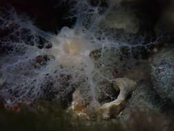
Description: Deutsch: Holothurie. Date: circa 1885 date QS:P,+1885-00-00T00:00:00Z/9,P1480,Q5727902. Source: : This file has been extracted from another file: Meyers b8 s0661a.jpg : . Author: Unknown authorUnknown author.
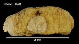
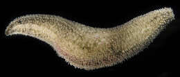
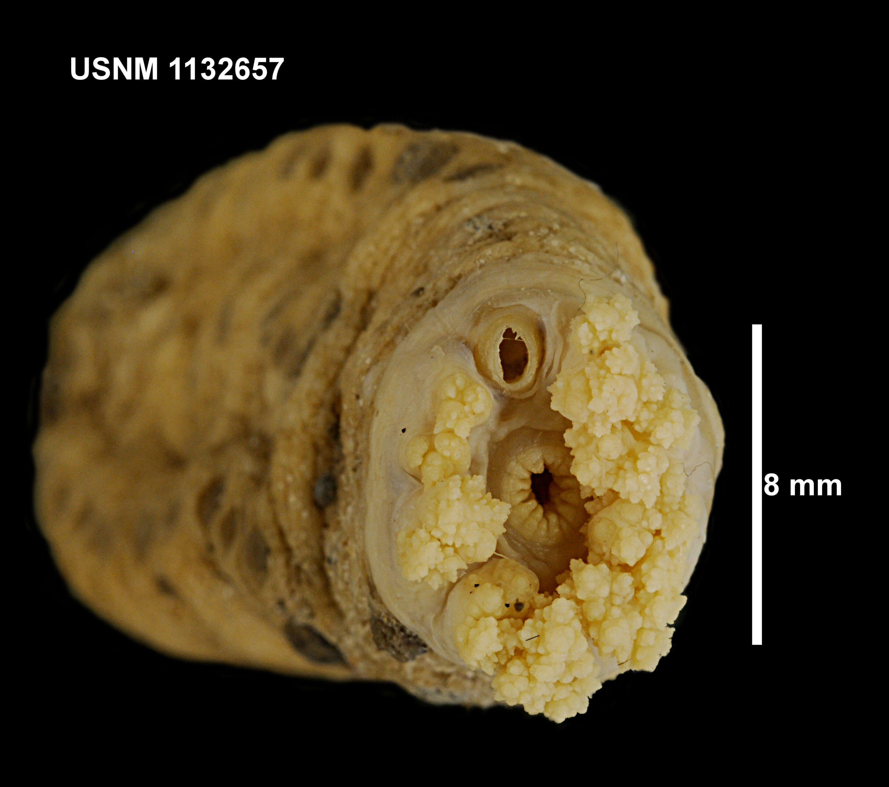
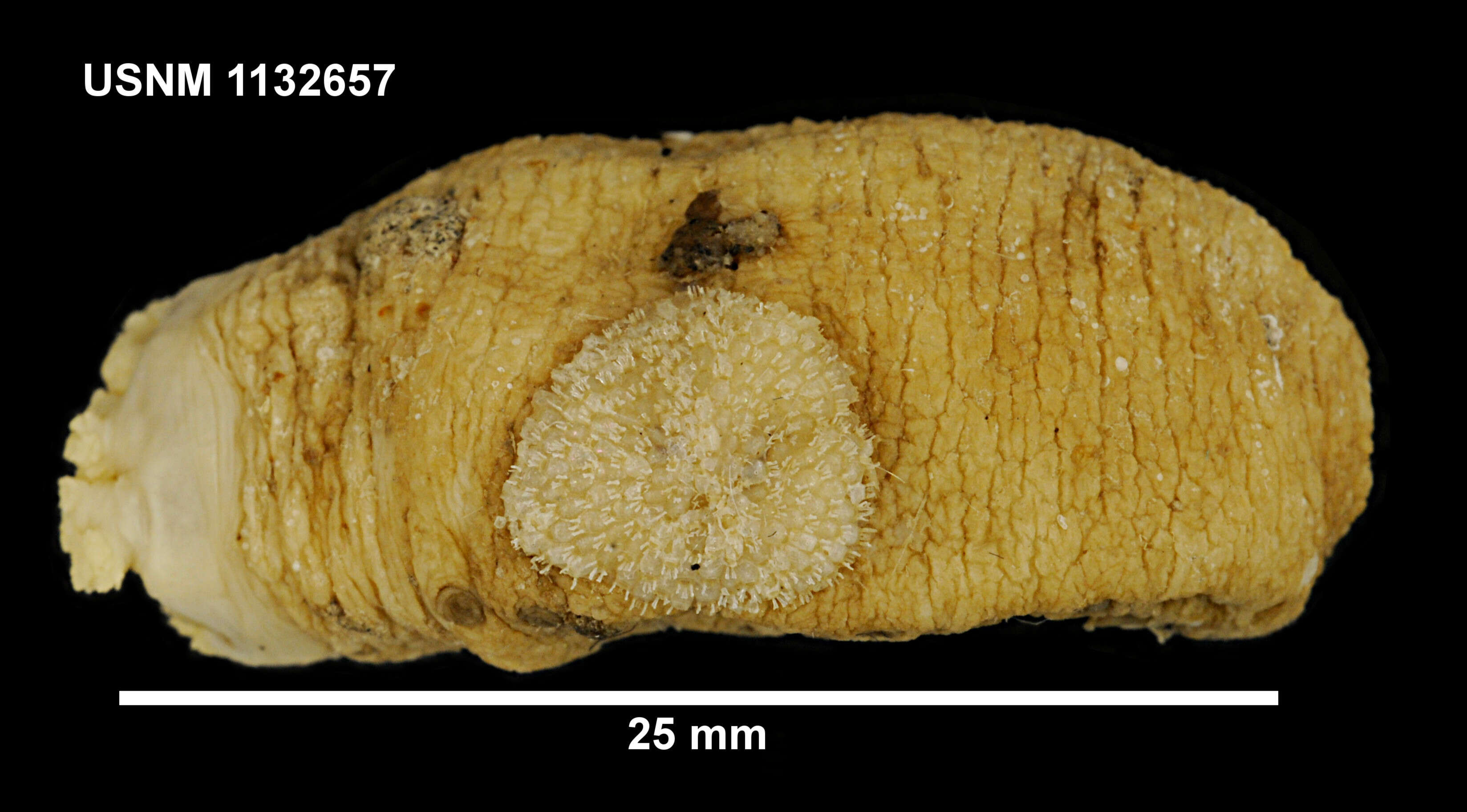
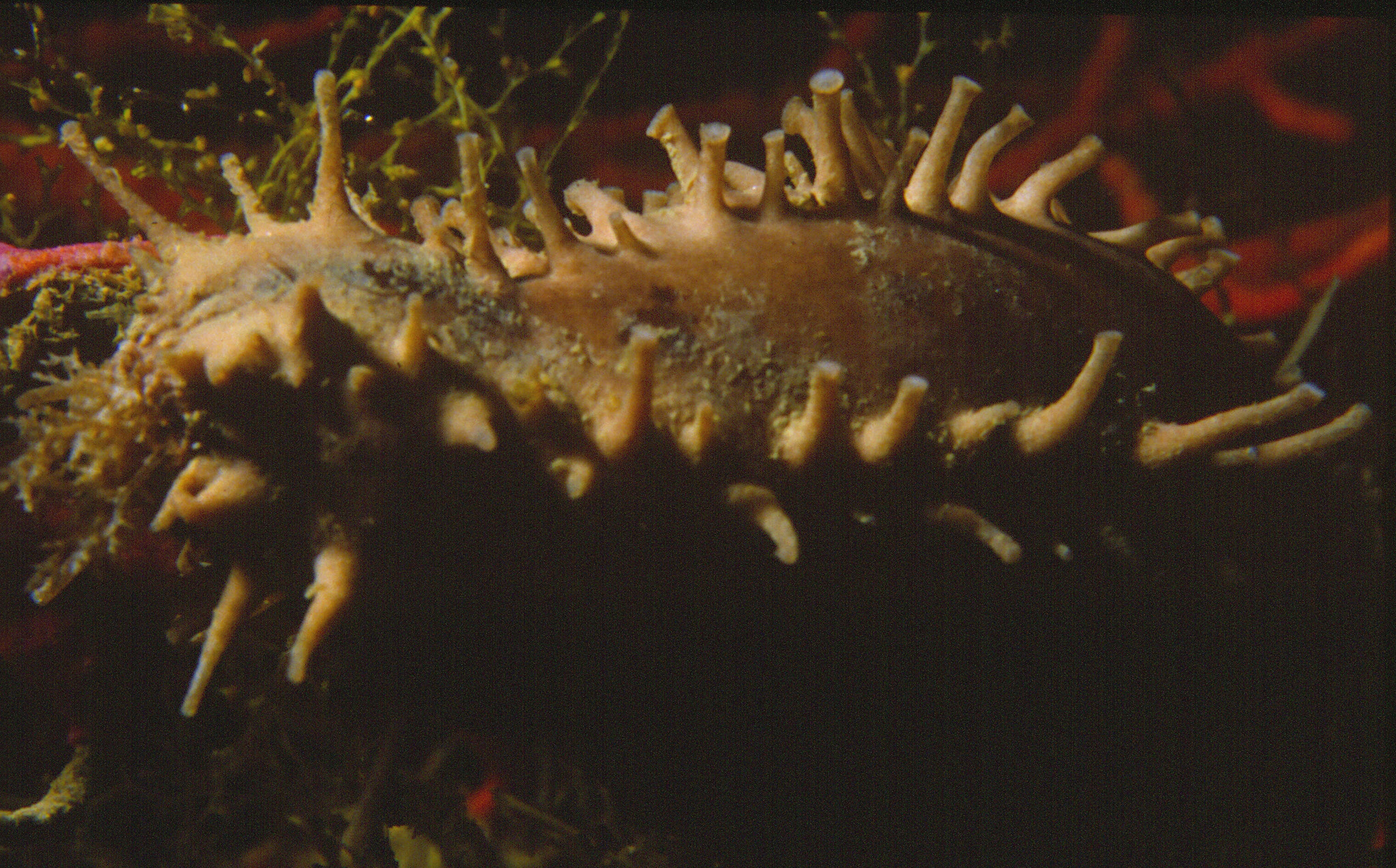
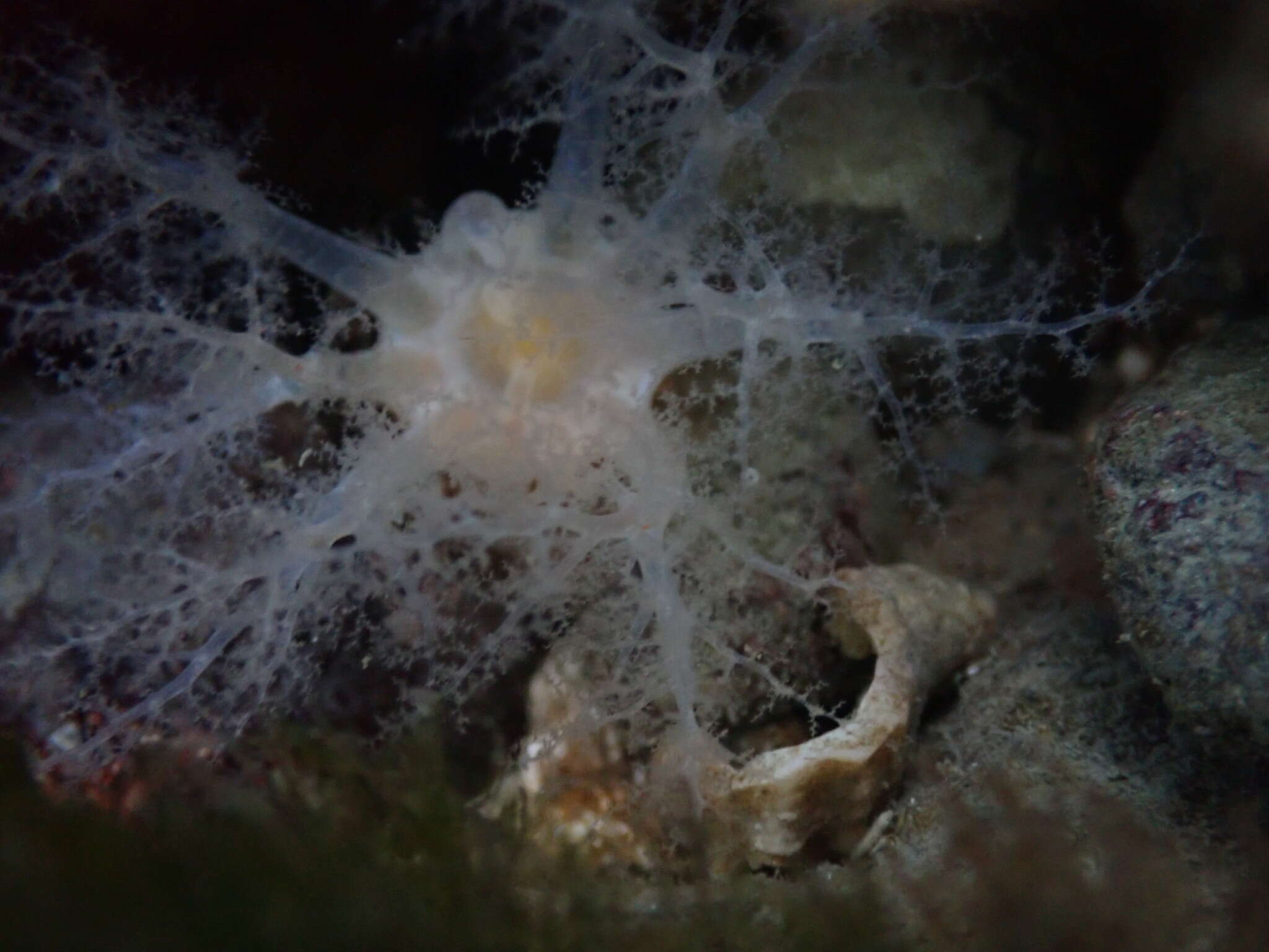
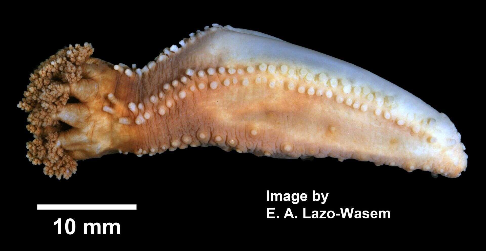
Description: English: Cucumaria frondosa (Gunnerus, 1767) Cucumaria frondosa (YPM IZ 069832). Digital Image: Yale Peabody Museum of Natural History; photo by Eric A. Lazo-Wasem 2014 Coordinate uncertainty in metres 5000 Country or area United States of America Country code US County Washington County Decimal latitude 44.875762 Decimal longitude -67.12645 Depth 0.5 Depth accuracy 0.5 Geodetic datum WGS84 Georeference protocol digital resource Georeference sources Google Earth Georeferenced by Daniel J. Drew Georeferenced date 2014 Higher geography North America; Atlantic Ocean; Gulf of Maine; USA; Maine; :Washington County; Lubec Locality Crow's Neck Maximum depth in metres Minimum depth in metres Municipality Lubec State province Maine Verbatim depth 1-2 ft Water body Atlantic Ocean; Gulf of Maine. Source: https://www.gbif.org/occurrence/1039226706. Author: Creator Eric A. Lazo-Wasem Gall L (2018). Invertebrate Zoology Division, Yale Peabody Museum. Yale University Peabody Museum. Occurrence dataset https://doi.org/10.15468/0lkr3w accessed via GBIF.org on 2018-12-24. https://www.gbif.org/occurrence/1039226706. Camera location44° 52′ 32.74″ N, 67° 07′ 35.22″ WView all coordinates using: OpenStreetMap 44.875762; -67.126450.


