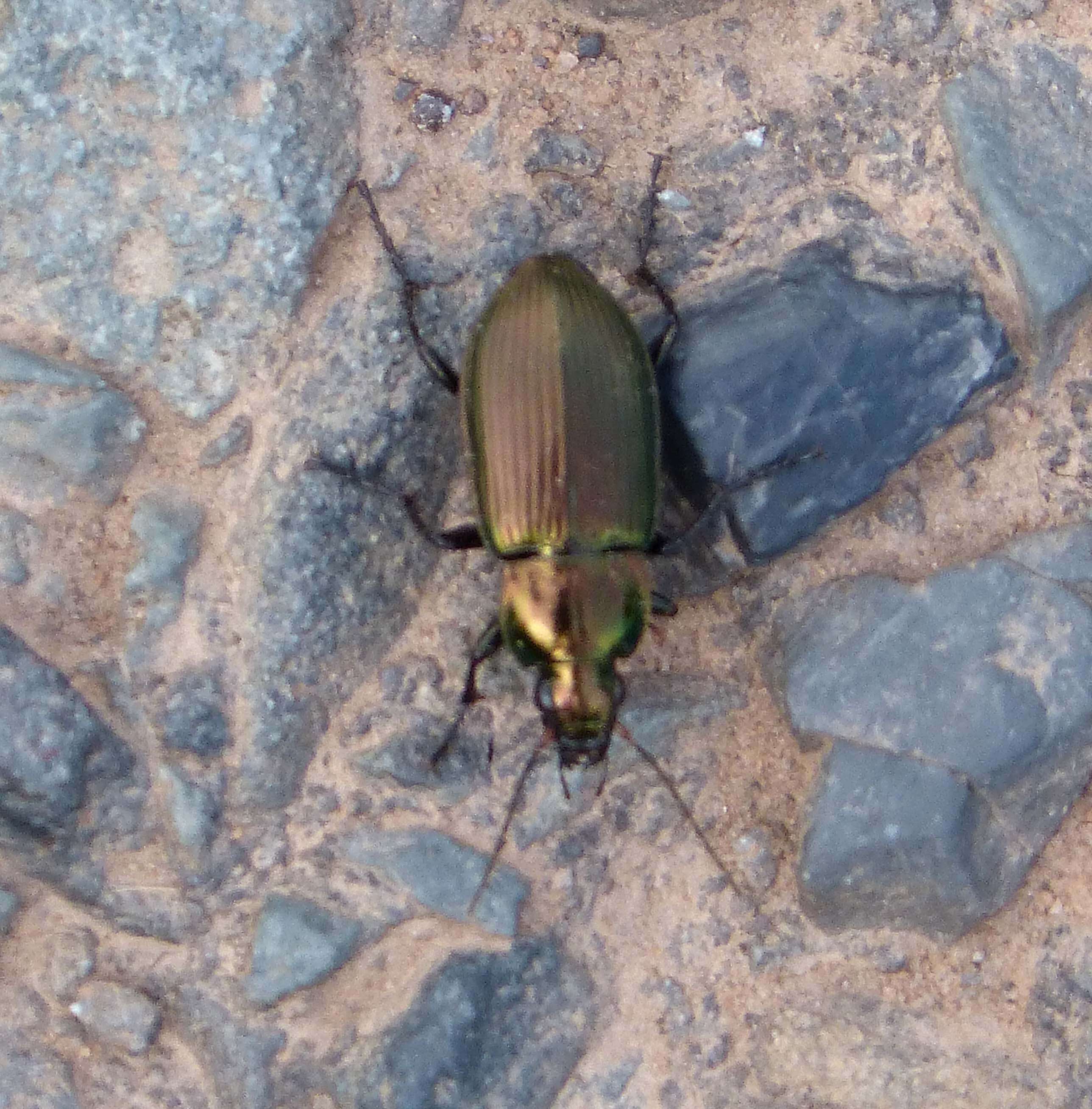
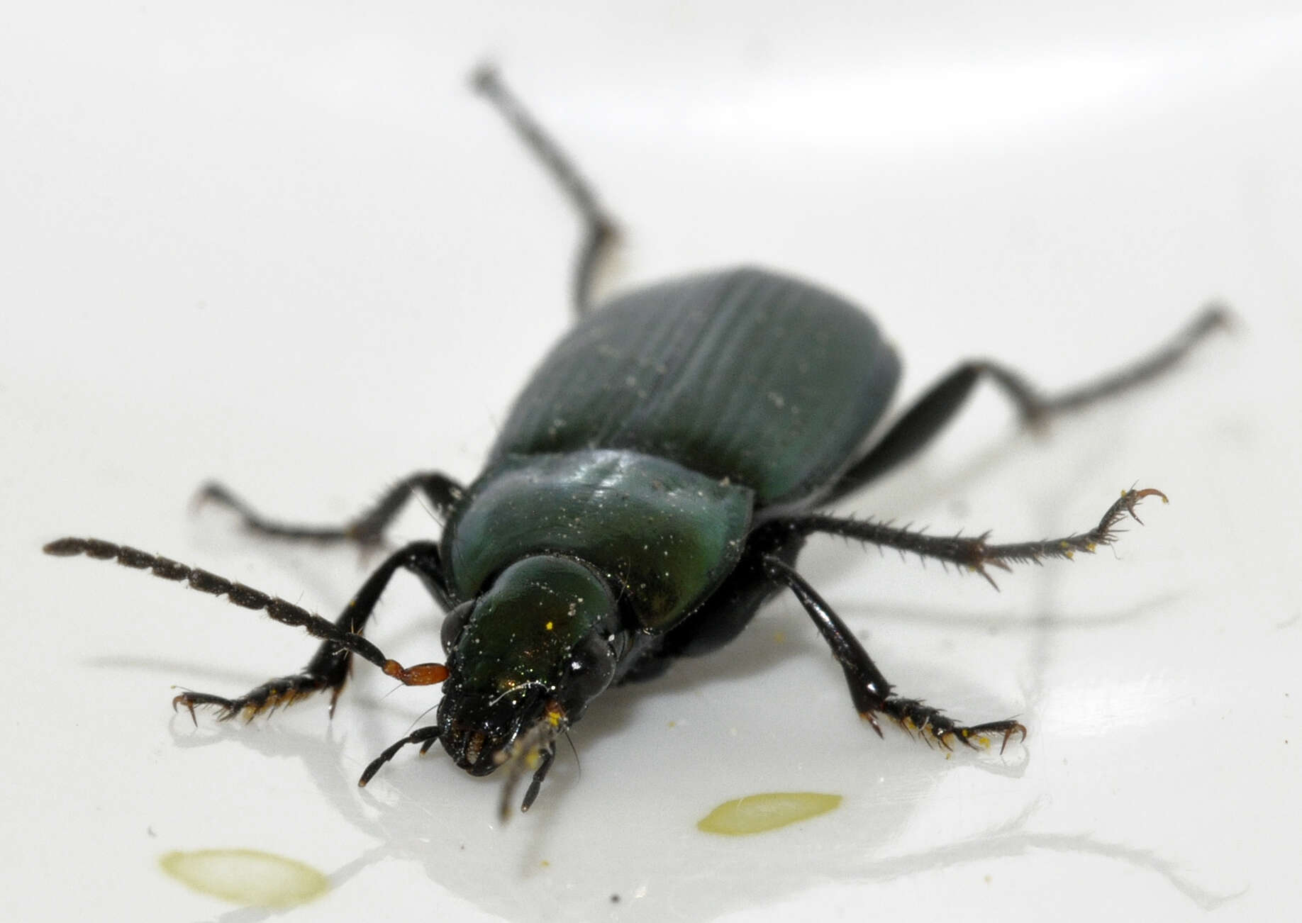
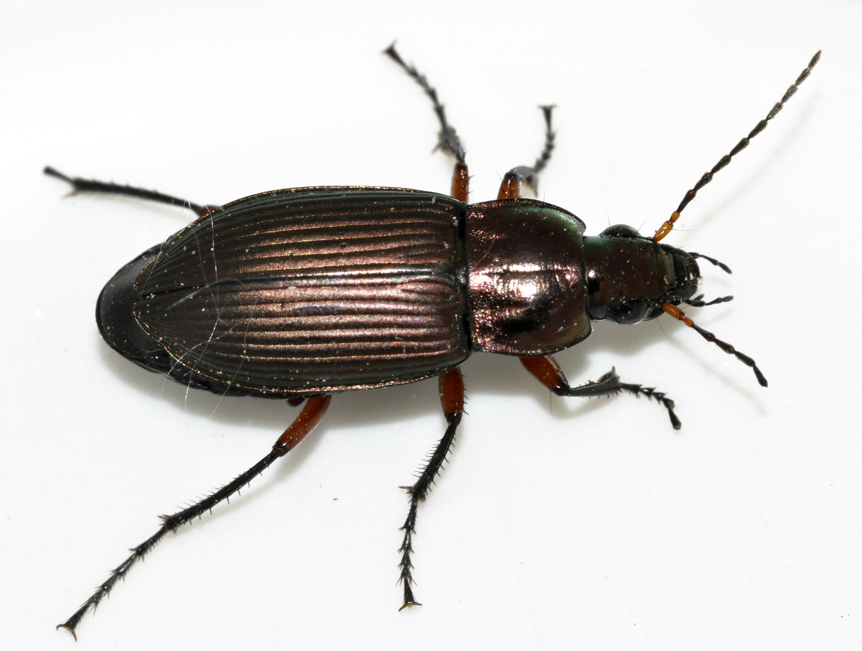
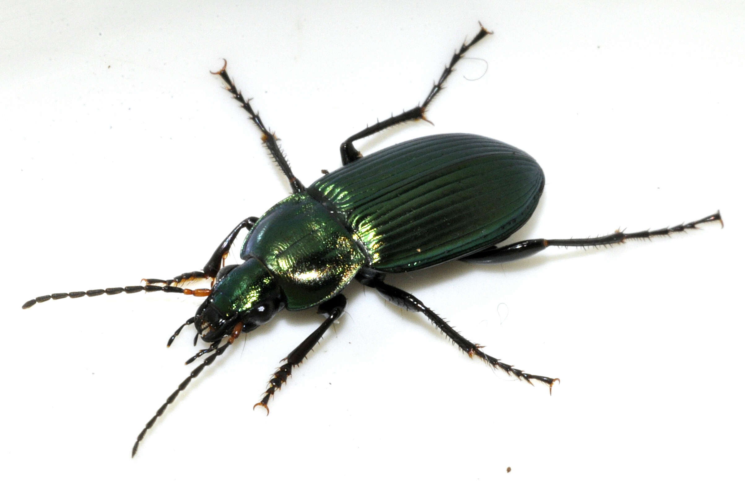
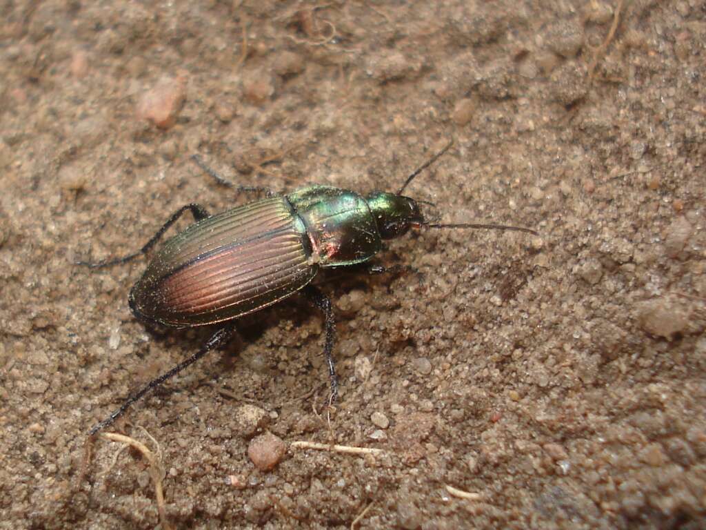
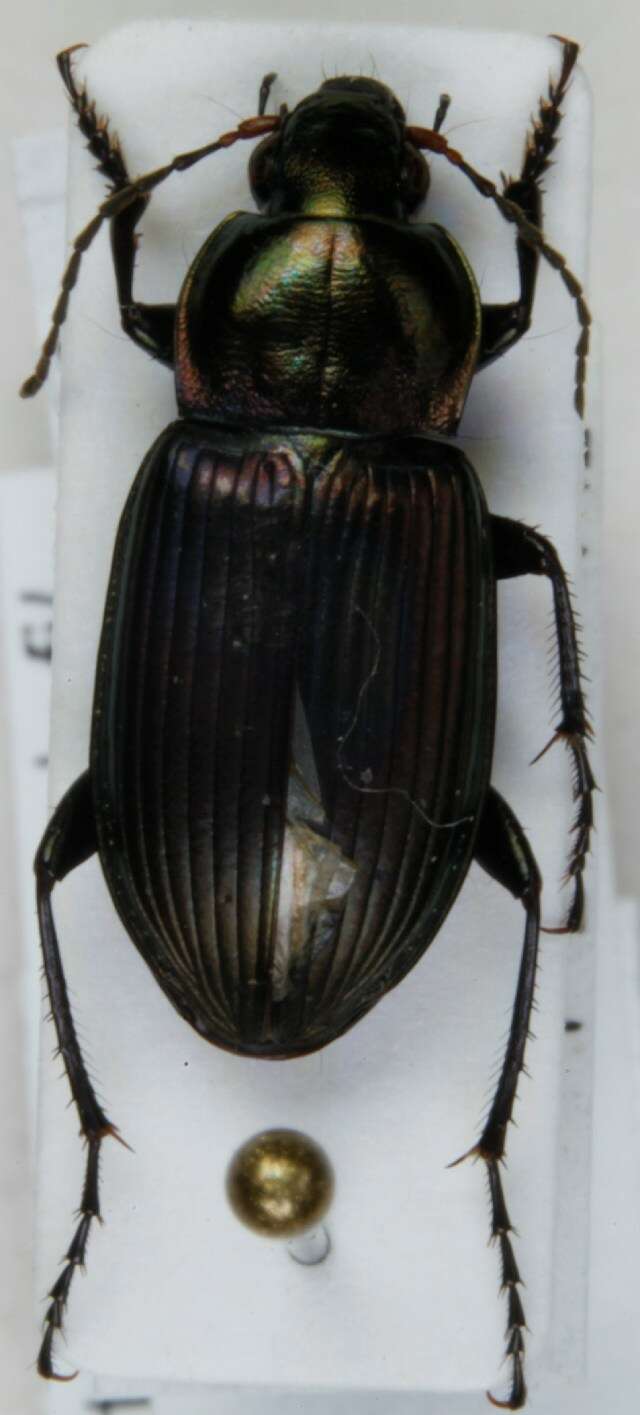
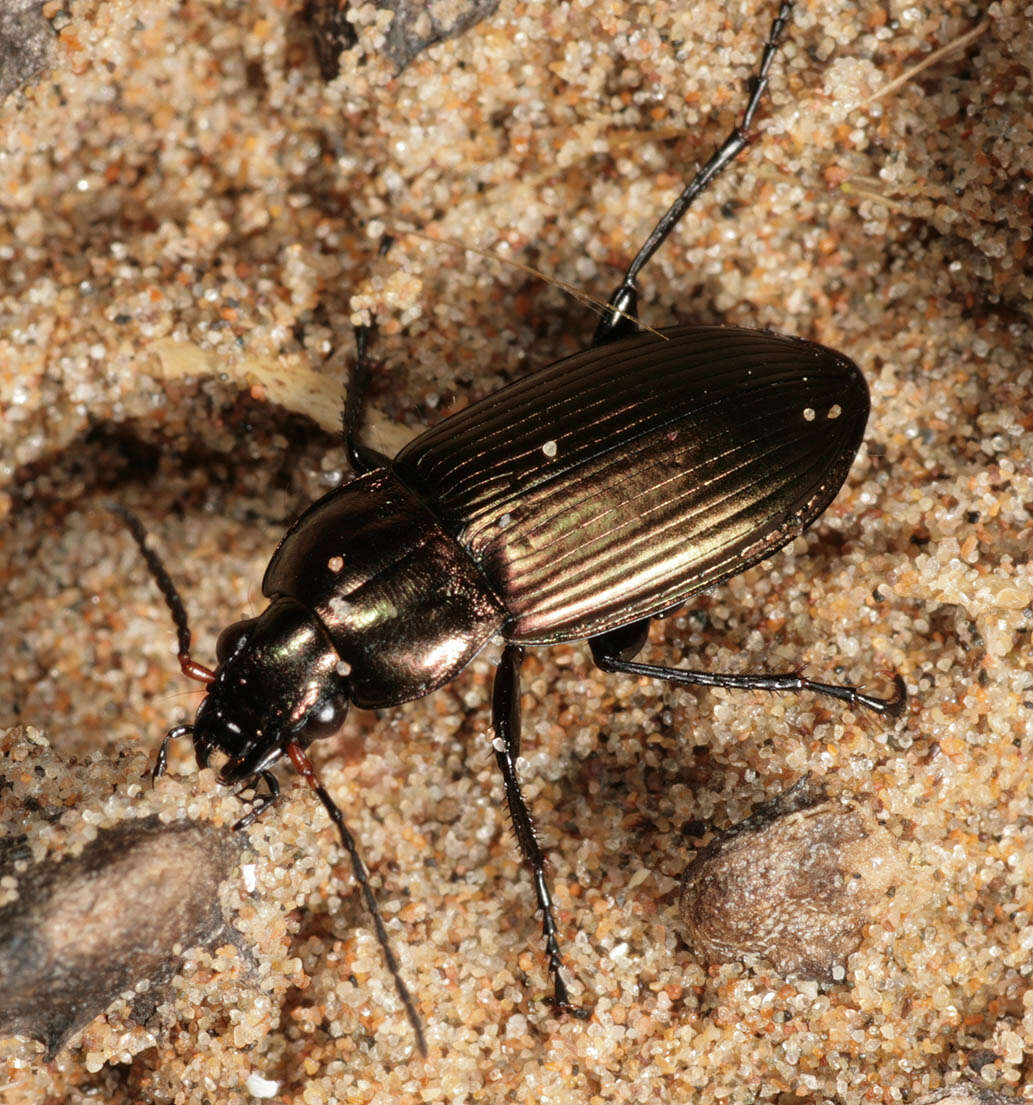
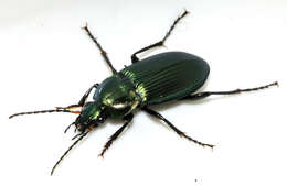
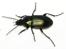
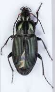
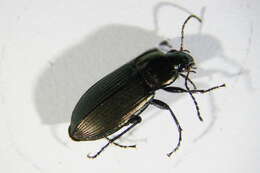
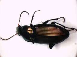
Description: English: Poecilus cupreus (Linnæus, 1758). Body length 12.5 mm without antennae. Determined by kerbtier.de. Germany: Niedersachsen, Göttingen, Göttinger Wald. Date: 19 October 2020. Source: Own work. Author: Francisco Welter-Schultes. Camera location51° 31′ 46.1″ N, 9° 58′ 25.96″ EView all coordinates using: OpenStreetMap 51.529472; 9.973877.
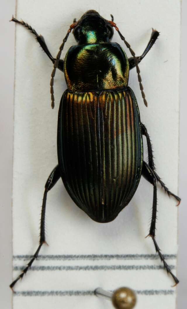
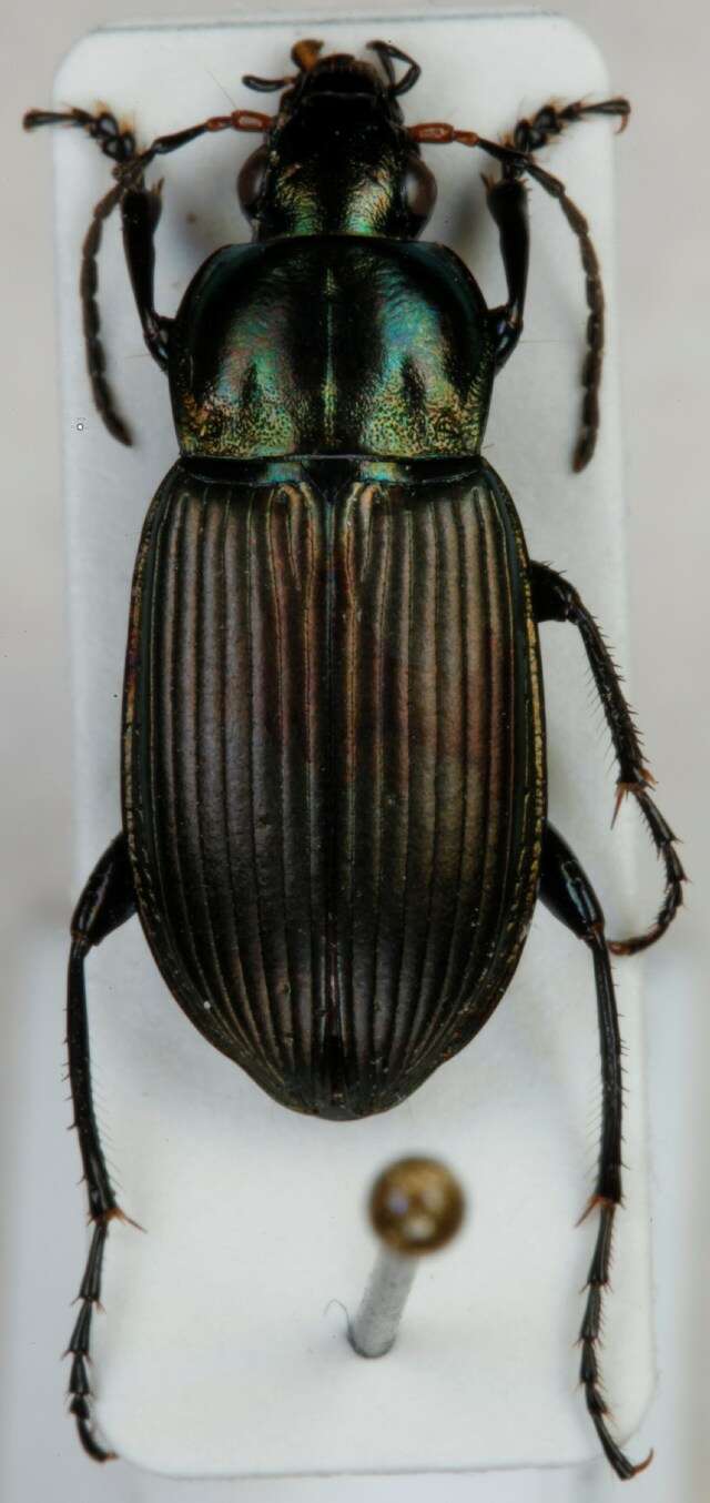
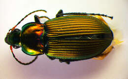
Description: English: Poecilus cupreus (Linnæus, 1758). Body length 12.3 mm without antennae. Determined by kerbtier.de. Germany: Niedersachsen, Göttingen, Göttinger Wald. Date: 18 April 2020. Source: Own work. Author: Francisco Welter-Schultes. Camera location51° 31′ 46.1″ N, 9° 58′ 25.96″ EView all coordinates using: OpenStreetMap 51.529472; 9.973877.
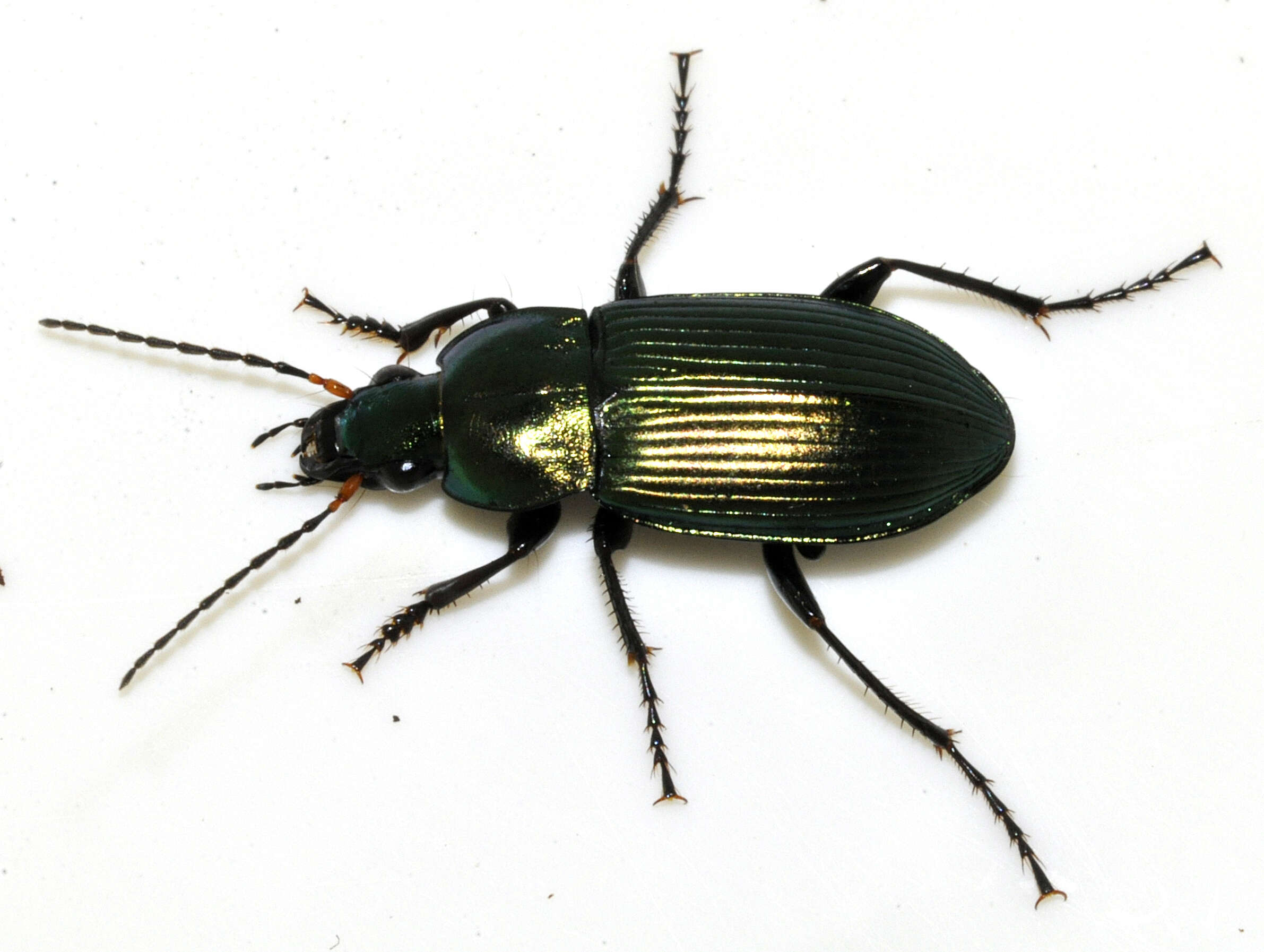
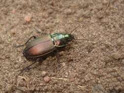
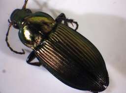
Description: English: Poecilus cupreus (Linnæus, 1758). Body length 13.1 mm without antennae. Determined by kerbtier.de. Germany: Niedersachsen, 2 km S of Göttingen, hills north of Gartetal. Date: 27 May 2020. Source: Own work. Author: Francisco Welter-Schultes. Camera location51° 29′ 38.09″ N, 9° 57′ 42.08″ EView all coordinates using: OpenStreetMap 51.493914; 9.961690.
Description: English: Poecilus cupreus (Linnæus, 1758). Body length 12.5 mm without antennae. Determined by kerbtier.de. Germany: Niedersachsen, Göttingen, Göttinger Wald. Date: 19 October 2020. Source: Own work. Author: Francisco Welter-Schultes. Camera location51° 31′ 46.1″ N, 9° 58′ 25.96″ EView all coordinates using: OpenStreetMap 51.529472; 9.973877.
Description: English: Poecilus cupreus (Linnæus, 1758). Body length 12.5 mm without antennae. Determined by kerbtier.de. Germany: Niedersachsen, Göttingen, Göttinger Wald. Date: 19 October 2020. Source: Own work. Author: Francisco Welter-Schultes. Camera location51° 31′ 46.1″ N, 9° 58′ 25.96″ EView all coordinates using: OpenStreetMap 51.529472; 9.973877.
Description: English: Poecilus cupreus (Linnæus, 1758). Body length 12.5 mm without antennae. Determined by kerbtier.de. Germany: Niedersachsen, Göttingen, Göttinger Wald. Date: 19 October 2020. Source: Own work. Author: Francisco Welter-Schultes. Camera location51° 31′ 46.1″ N, 9° 58′ 25.96″ EView all coordinates using: OpenStreetMap 51.529472; 9.973877.
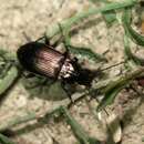
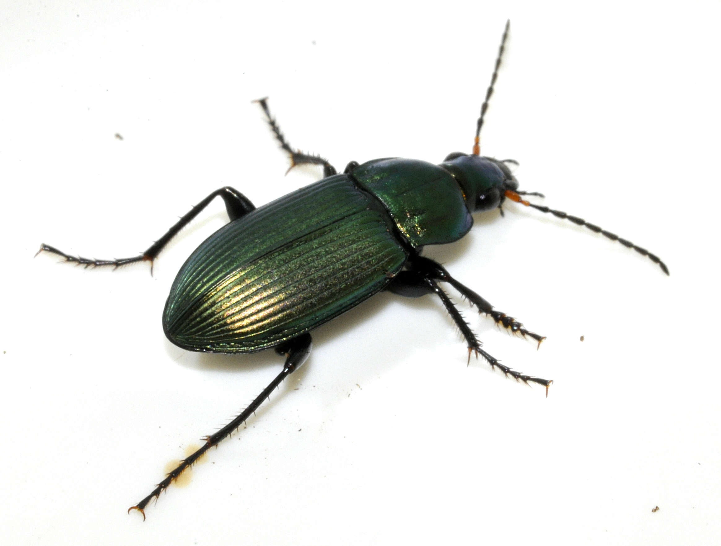
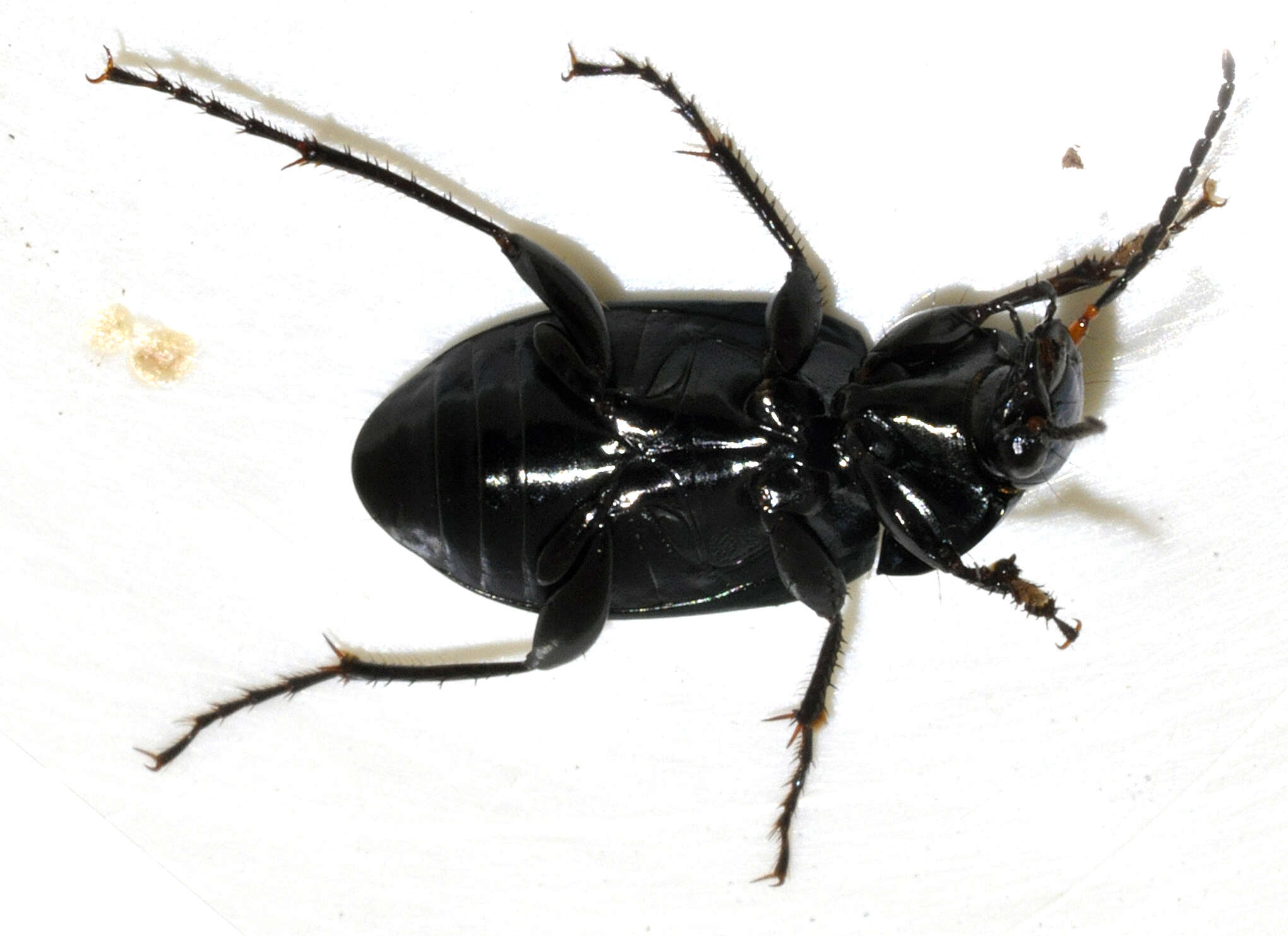
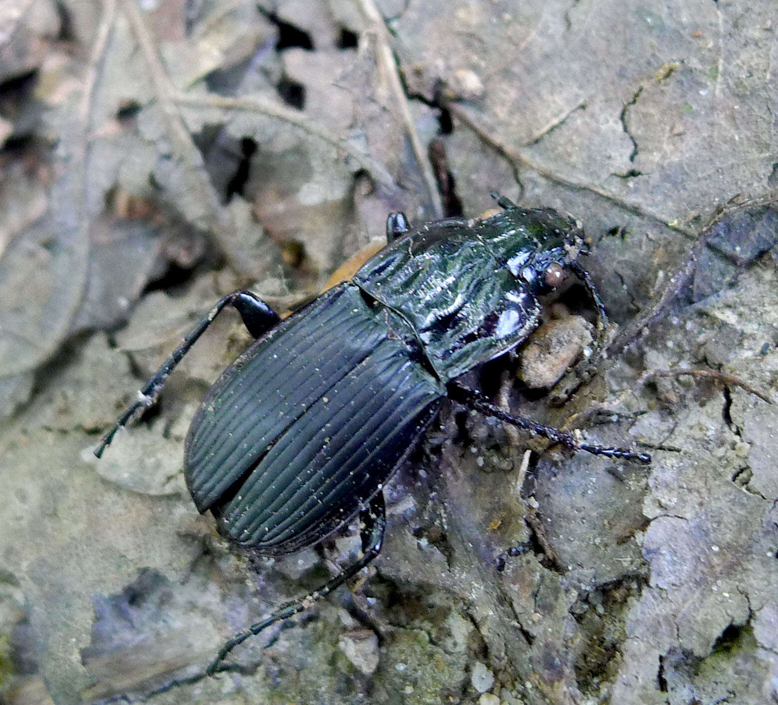
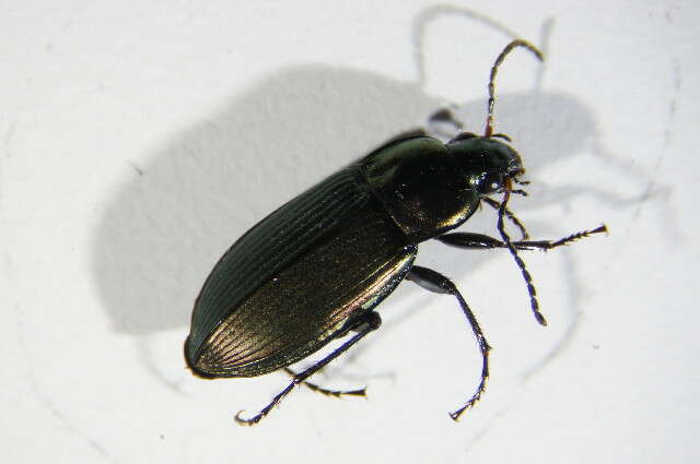
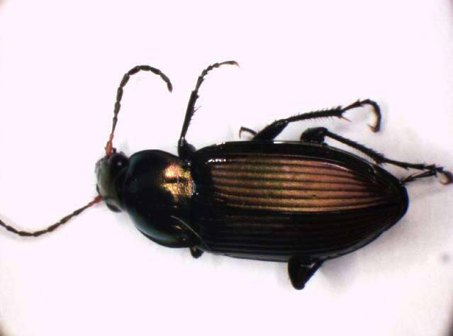
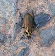
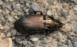
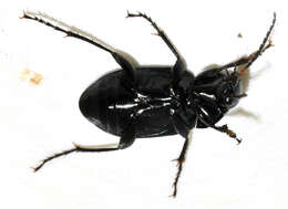
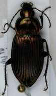
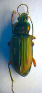
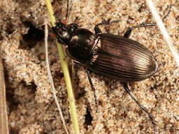
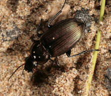
Longitude (deg): -3.0. Latitude (deg): 51.2. Longitude (deg/min): 3° 0' W. Latitude (deg/min): 51° 20' N. Vice county name: North Somerset. Vice county no.: 6. Country: England. Stage: Imago. Identified by: Malcolm Storey. Comment: in sand dunes. Category: macro-photograph. Image scaling: enlarged. Orientation: "Left, or facing to left". Photographic equipment used: Canon EOS400D dSLR with Tamron SP AF Di 90mm Macro 1:1 lens.
Longitude (deg): -3.0. Latitude (deg): 51.2. Longitude (deg/min): 3° 0' W. Latitude (deg/min): 51° 20' N. Vice county name: North Somerset. Vice county no.: 6. Country: England. Stage: Imago. Identified by: Malcolm Storey. Comment: in sand dunes. Category: standard photograph or close-up. Photographic equipment used: Canon EOS400D dSLR with Tamron SP AF Di 90mm Macro 1:1 lens.
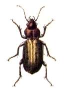
Longitude (deg): -3.0. Latitude (deg): 51.2. Longitude (deg/min): 3° 0' W. Latitude (deg/min): 51° 20' N. Vice county name: North Somerset. Vice county no.: 6. Country: England. Stage: Imago. Identified by: Malcolm Storey. Comment: in sand dunes. Category: standard photograph or close-up. Orientation: "Left, or facing to left". Photographic equipment used: Canon EOS400D dSLR with Tamron SP AF Di 90mm Macro 1:1 lens.


