Sugarland-mtn-trail-rough-crk-valley1
Descrição:
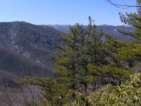
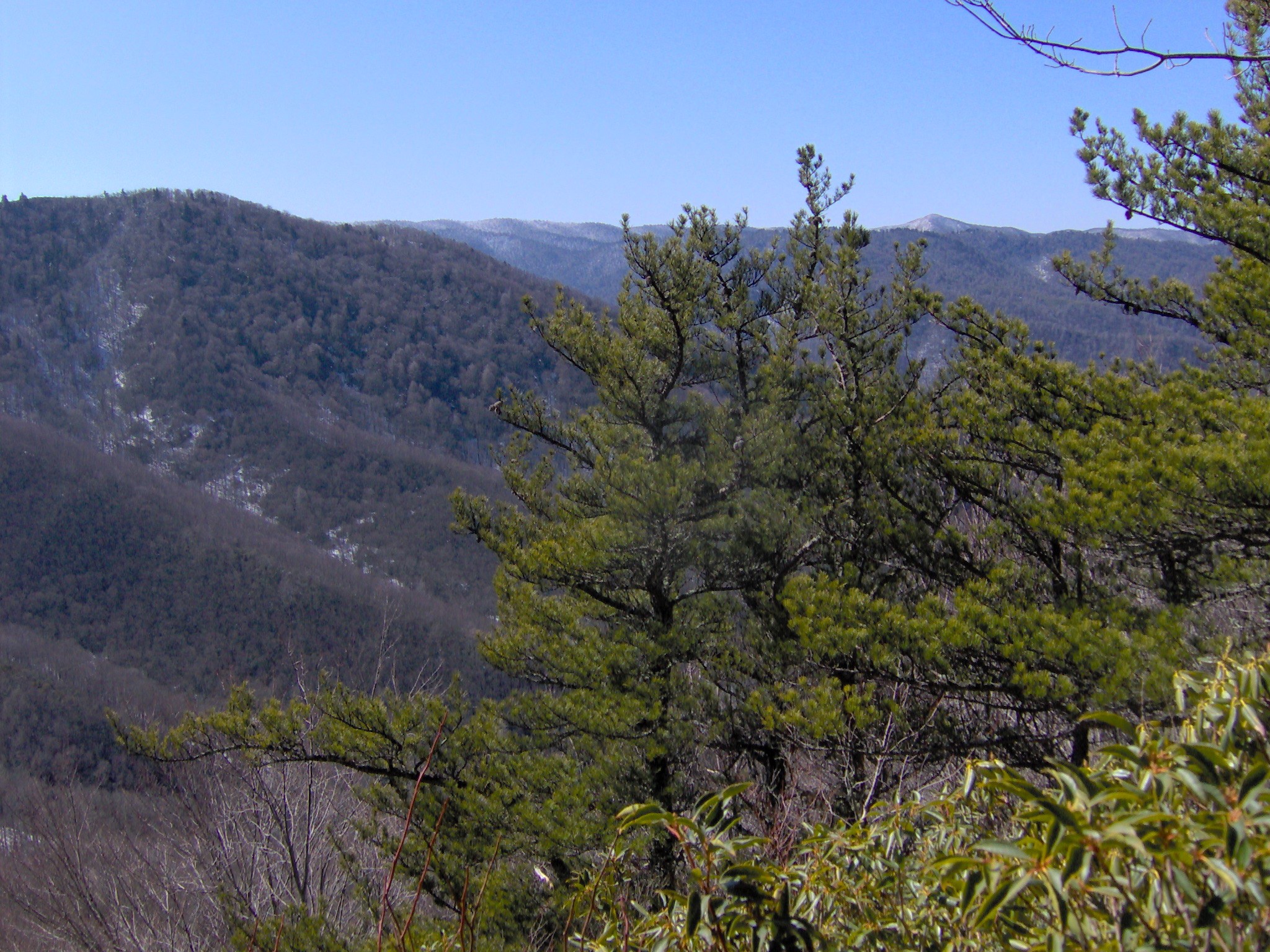
Description: Looking out over the Rough Creek Valley from a break in the foliage, appx. 8 miles from the trailhead at Fighting Creek Gap. Sweet Ridge is on the left, and Miry Ridge and main crest of the Smokies are in the distance. The snow-capped summit of Silers Bald is in the distance on the right. Trees are Pinus pungens. Author Horace Kephart termed this area "Godforsaken" due to its remoteness. Date: 1 March 2008. Source: Own work. Author: Brian Stansberry.
Incluído nas seguintes páginas:
- Life
- Cellular
- Eukaryota
- Archaeplastida
- Chloroplastida
- Streptophyta
- Embryophytes
- Tracheophyta
- Spermatophytes (Spermatophyta)
- Gymnosperms
- Pinopsida
- Pinales
- Pinaceae
- Pinus
- Pinus pungens
Esta imagem não aparece em nenhuma coleção.
Informação de origem
- licença
- cc-by-3.0
- direitos autorais
- Brian Stansberry
- criador
- Brian Stansberry
- original
- arquivo de mídia original
- visite a fonte
- site do parceiro
- Wikimedia Commons
- ID